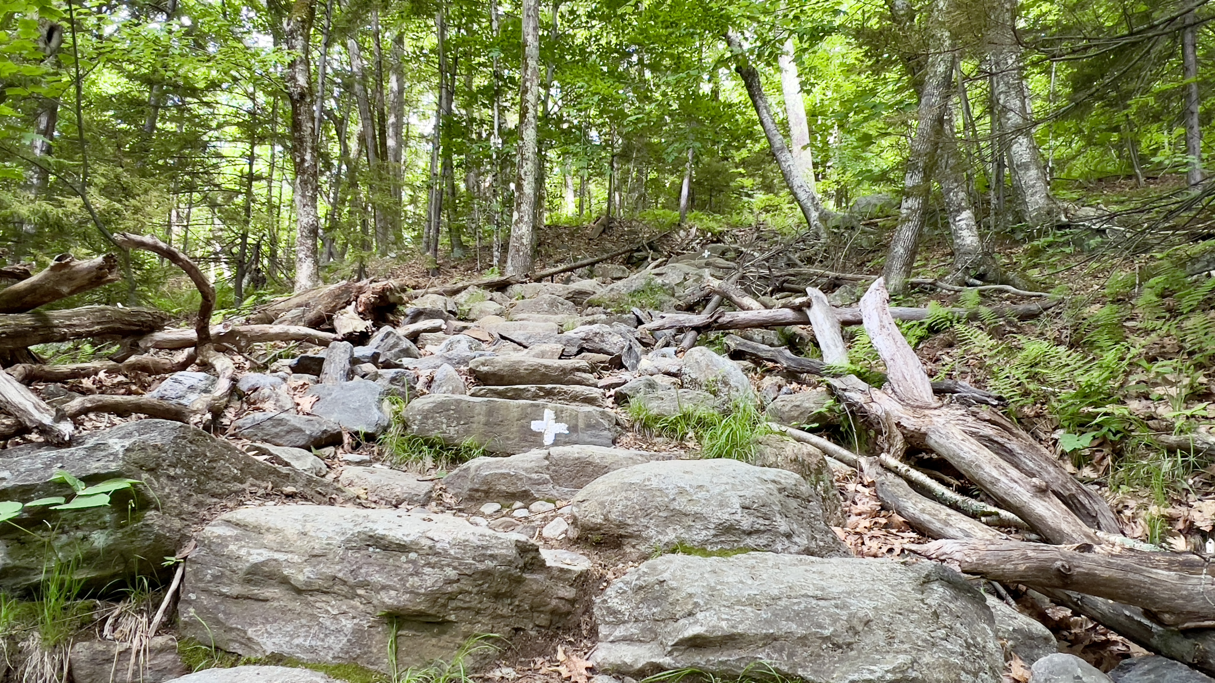
I had all good intentions of doing the Spellman Trail on Monadnock today. Get one of those "scary" trails done. However when I arrived at the toll gate for Monadnock State Park, there was a big, huge grey cloud overhead and the Ranger said they had received a decent amount of rain the evening prior. So I went with my head instead of my heart, and took on my Plan B. I parked at HQ around 830 to an already half full lot. Headed up the White Dot Trail for about half a mile, then turned on White Cross Trail. Let's face it, every trail up this mountain is steep. Apparently this is one of the "lesser steep" ones. It's still steep. As to be expected, I saw a variety of "hikers" on the trails, many in regular street sneakers and no jackets, barely even carrying water despite the large sign at the trailhead warning you what is needed to remain safe. White Cross Trail is a combination of bouldery goodness, steps made out of rock and just plain rock slab/ledge to ascend. There definitely were some small areas of reprieve to take a break and maybe half a mile before the higher White Dot intersection, the views start to open up and you are reminded why you take on these adventures. I reached the Smith Connecting intersection, about a tenth of a mile below the White Dot intersection. This would be the start of my descent, not needing to hit the actual summit today, but I did need that tenth of a mile up to White Dot. Just as I started on this short out and back, the heavens opened, confirming my decision to not take on Spellman today. I ducked under tree cover and put on my rain gear. I made it up to White Dot and turned around heading back for the Smith Connecting Trail. This trail is marked with S's painted on various rocks along the way. It was much quieter now that I was off the more popular routes, but I still passed a couple groups along the way. Less jean shorts and Dasani bottles on the lesser traveled trails though, more fully prepared hikers! I made my way down to the intersection with Amphitheatre Trail, which finished off the Smith Connecting Trail for my redlining spreadsheet and continued on to Bald Rock. By now the rain had stopped thankfully and I took a moment to enjoy the views before continuing descending on Cliff Walk. I enjoy this trail, but it does remind me of the circus. Lots of up, down and all around. Plenty of butt slides and gymnastics to get up and down those short steep sections. Cliff Walk is marked with Cs painted on the rocks. I made it to Thoreau's Seat, which I had visited a while back. My memory of this landmark was it was a huge rock to climb over and last time I had been way too scared to try and get over it. I was a bit anxious as I came upon it this time, and it does take some creativity for those of us vertically challenged to get up "into" the seat, but when I looked over the other side, I wondered what I had been so concerned about. Yes, it was a butt slide down, but nothing scary about it. I needed that very short section from Thoreau's Seat down to the Lost Farm Trail intersection, which I could literally see from where I stood. There was just a very steep, short scramble down to get to that point. I made it safely down, stopped at the view point at the Lost Farm Trail intersection briefly and continued on my way. Lost Farm Trail seems to go on forever on tired legs. It has a jungle feel with lots of mossy rocks. Once down off the main climb though, it flattens out and reaches Parker Trail for a very gentle exit back to Headquarters and parking. This mountain continues to challenge me in every way possible, but step by step I'm getting closer to completing all the trails.
Strava Activity
 |
| White Cross |
 |
| views from White Cross |
 |
| my turnaround point at White Dot |
 |
| onto Smith Connecting |
 |
| zoomed in on all those unprepared heading for the summit in the rain |
 |
| Smith Connecting-Cliff Walk |
 |
| looking back up what I came down |
 |
| Thoreau's Seat |
 |
| looking down the last big scramble |
 |
| from the bottom looking back up |
 |
| Lost Farm Trail |
 |
| and out on Parker |