Saturday, February 27, 2021

Bridal Veil Falls

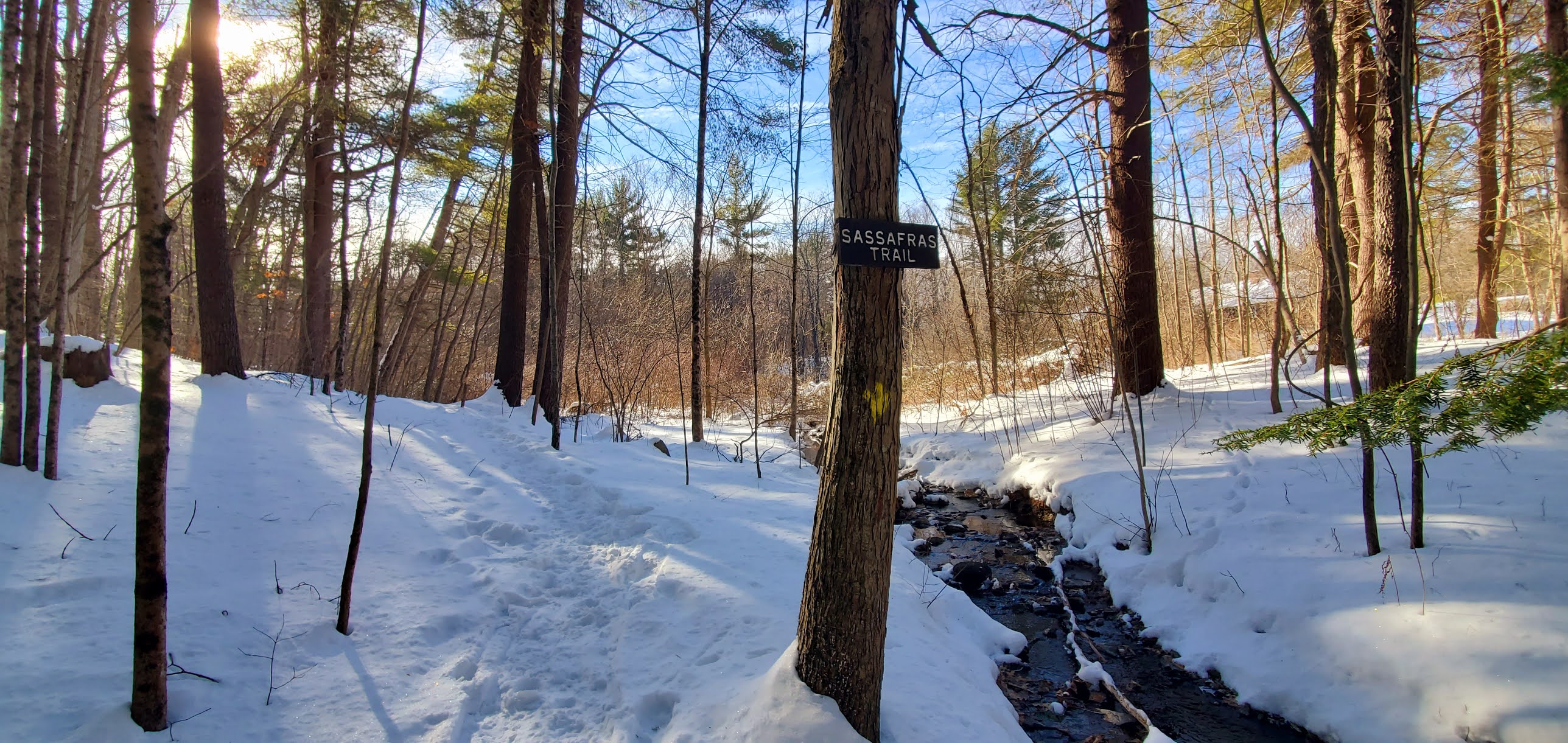
 Today's forecast was iffy between light snow, a Wintry mix and rain. Initially I had read light snow in the morning turning to rain from south to north around lunchtime. Thus, I decided to head north thinking I'd rather hike in snow than rain. I chose Bridal Veil Falls which I had seen pictures of a few weeks ago and was anxious to see in Winter as it seemed quite spectacular. I recruited Laura and we headed out super early to try and beat the snow starting. Turns out the snow beat us. Around halfway up it kicked in and by the time we reached the trailhead it was quite steady. There is an out and back trail to the Falls described in the AMC White Mountains Guide. Coppermine Trail starts a tenth of a mile or so along Coppermine Road in Franconia at a parking area for 5-6 cars. You actually walk along the road for a couple tenths before it forks off into the woods. I had read it wasn't marked, but there was a sign at the parking area so we knew we were in the right place. The parking area was a sheet of ice, so we geared up with microspikes and attached our snowshoes to our packs just in case. At the fork off the road, there is a brown hiking sign, but no indication of the trail name at that point. The trail is a beautiful wander through the woods. 0.7 miles from the parking area there is actually a sign marking Coppermine Trail which shows 2.5 miles to the Falls. This is a little off as the 2.5 mile distance is from the parking area, not that sign. The trail gently climbs up and after a mile (from the parking) you join Coppermine Brook which you then follow all the way to the Falls. Just after 2 miles from the car a bridge crosses the brook and shortly after that you reach Coppermine Shelter. We took the opportunity here to change from our microspikes to snowshoes as the snow was filling in fast on the trail and snowshoes seemed a better choice for the moment. Just around the corner from the shelter is the piece de resistance. Bridal Veil Falls are just spectacular frozen. I'm sure they are pretty when not frozen as well, but frozen was what I wanted to see. You can walk almost right up to them and just take in all that beauty. A couple of groups passed us on our way in so we thought it may be busy but we had the area to ourselves. It was just spectacular. If it wasn't for the blowing snow and cold temps I could have stood there forever! We took some pictures and once we started to get too cold, we headed back. What was amazing on this hike was we could hear strong winds above us, it was really quite loud at times. Being in the valley though, we couldn't really feel them. Such a surreal setting. Just under a mile from the car the snow turned to freezing rain, I took a good digger on the hard packed trail when my snowshoe clipped a piece of ice (I'm fine) and we walked as quickly as we could to reach the warmth and dryness of the car. Both of us were just in awe of the day. Highly recommended hike, particularly in Winter. 

Strava Activity


Sunday, February 21, 2021

Bayle Mountain

 It was another perfect weather day. The sun was shining, the winds were calm, the temperature was pleasant. Years ago I had hiked Bayle Mountain, but had come in from Bayle Mountain Road. There has since been an unofficial, official trail designated, which begins at a parking area on Marble Road. A very kind landowner has granted access to hikers and it is included in the Southern NH AMC Trail Guide. Thus, I needed to go back and claim that 0.7 miles of snowmobile trail from Marble Road to complete for my redlining spreadsheet. I was joined today by Laura and Vanessa. A well needed girls day out. We found our way to Marble Road and discovered the last section of road was not plowed, but had been semi-packed by previous vehicles, so we carefully continued on until we reached the assigned parking area. This could be an issue for low clearance vehicles, I did slide a little and I have 4WD. Road conditions determined that this would be another snowshoe hike. We geared up and headed for the snowmobile trail that leads to the actual trail. With the bluebird day, it was busy on the snowmobile trail. We took care to get off the trail as much as we could as they passed us and thankfully they were all polite and slowed down. We made it to the small sign indicating the start of the trail and found an established footbed that led the way. Spikes would have done the trick, however there were definitely soft sections that snowshoes would be preferable on. I know this because a little ways up the trail as the incline steepened, I found out that my snowshoes were not the best kind for steep hiking. The cleats just weren't catching the snow and I was sliding backwards. I ended up changing into my microspikes and had an easier time with those. As we navigated the boulder section though, the snow was softer where it was in the shade and I postholed a few times up to my knees. I felt guilty as I know this is frowned upon in the hiking community, but it was my safest option at that moment. I wasn't the only one though, it appears a moose had also followed the trail for a ways, between his (or her) post holes there was a ton of poop on and alongside the trail! Once we reached the open slab section at the top, I changed back into snowshoes. The incline had eased and I just kept sinking too much in plain spikes. I was amazed at how different the summit is in Winter vs Fall when I had previously been up there. The huge open flat(ish) summit was now a much smaller peak of snow! You could have walked all over the open area, but we chose not to as we didn't know how deep or stable all that snow was and wanted no incidents or accidents! The views were incredible though. Bayle Mt is within the ring of the Ossipee Range and all those higher summits surround as well as views well north into the Whites and over to Ossipee Lake and beyond. It was perfectly crisp and clear and we just stood in awe for quite a while enjoying it all. We did start to get chilly so decided it was time to head down. I was able to snowshoe down the whole way and this time as we hit the steeps, we all butt slid down! Just a few hundred yards at a time, but it sure was a fun alternative and essential on some of those extra steep little sections! Back on the snowmobile trail, we opted to take a side path to the road and road walk back to the cars. The snowmo trail was just too busy. It was an overall amazing day. 

Strava Activity


Saturday, February 20, 2021

South Uncanoonuc

 We had more snow on Friday! Most areas in New Hampshire would be well covered in a decent base of snow by now. I chose to hike at South Uncanoonuc in Goffstown. I had been up this mountain several years ago, but at the time was only concerned about bagging the peak for the NH Fire Tower list. This time I was focused on redlining the area. There are actually several trails around the slopes of this mountain and although the actual summit is a "forest of antennas" as described in the AMC South Trail Guide, there are several view points around. My friend Laura came with me today and we finagled a round and about loop that covered almost all the remaining trails that I hadn't covered on my first trip up. We parked on Summit Road at the Kenlaw Trail head. Typically there is a pullout for a couple of cars, but this had not been plowed. There was already 1 car parked roadside, so I pulled in behind it. I could see the trail had been barebooted, but was super powdery, so we opted for snowshoes and carried our spikes just in case. Turns out we needed snowshoes the entire hike. I have learned that snowshoeing takes a lot of energy! We hiked just over 6 miles and it took us just under 6 hours! Granted we did stop and admire the incredible snow/ice artwork on all the trees many times, as well as consult our map apps to make sure we were covering all the area we needed to. We passed several viewpoints that we also stopped to admire, and stopped to chat with a lovely lady and her pup for a little while. Our basic route was Kenlaw Trail to Bickford Trail. We got a little turned around at the intersection with Link Trail. The tough thing with Winter hiking is people tend to create their own tracks sometimes and it's hard to tell whether this is an actual trail or not. Also, this mountain has several "unmaintained and unnamed" trails that we found ourselves on a couple of times. For the most part, the "official" trails are signed and blazed relatively well. I had read online about people being upset when Winter hikers don't use snowshoes on unpacked snow, and never really thought much about it.. after today, I can see why! Boots really make a different impact on fresh snow that can create ankle rolling tough stuff to walk on. We did our best to pack a nice solid base with our snowshoes for anyone coming through after us! We got to Bickford Trail and did the quick out and back to the powerlines and then went on to Scout Trail.  Every now and then a slight breeze would dislodge snow from the trees and it would "rain" down over us with the sunbeams creating an incredible sight. We went up Summit Trail to Walker Trail. This was the steepest section of the day. From Walker we headed up the last small section of Incline Trail, which is one of the last remaining trails on this mountain I need to complete. I'd read about the steepness of this trail and looking down, I can see why it's called Incline Trail. That will be waiting for another day! At the top we were surprised to encounter a small private drive with some houses that have an amazing view over the valley. We rejoined Summit Trail and followed that around the perimeter of the antennas, crossed the road and followed an unofficial trail called Views Trail on our map apps over to a vista across to North Uncanoonuc. We did a quick out and back to the summit (it's in a fenced off area with a communications tower). Back to Walker Trail and Summit Trail, then down Taber Trail and back to Kenlaw and the cars. Taber Trail had a sign marked as 0.6 miles, when it reality it was 0.9 miles. It has a lot of switchbacks, had not really been broken out and we were tired. This trail felt like it took a million years! Overall though, a really super day. Comfortable temperatures for the most part and a feeling of being much further away in the woods than you actually are. 

Strava Activity


At the Bickford Viewing Platform


Scout Trail


Heading up Incline Trail

Summit Trail

Summit Trail

Views Trail looking at North Uncanoonuc


Sunday, February 14, 2021

Beaver Brook Part 3

 I thought I was ready for all sorts of Winter hiking this year.. turns out I'm not. I'm already over it ;) There are definitely some pros with roots and rocks being hidden under an evenly packed down snow "highway" as I've seen it referred to.. but overall, I'm done. However, Mother Nature feels otherwise, so I'm working with what we have. With systems coming every couple of days over the last week, I wanted to go somewhere I knew was well traveled. Beaver Brook is just that. I covered 13 miles over the weekend and all but a couple tenths here and there were really well packed and easy to walk on. I was able to get by with spikes. Snowshoes wouldn't have been overkill, but spikes did the trick. I found navigating this time much easier, but still carried with me a paper map, screen shot of the trail map and the Peakbagger app on my phone for confirmation. Saturday, I headed back to Brown Lane barn and headed out on some more of the southern trails. I really enjoyed Big Tree Trail, Ashcroft Trail and Beaver Brook Trail. I find myself looking down so often when I walk to make sure I'm choosing a good line and not going to trip and fall, I have been forcing myself to stop and look around more. This is a really pretty area and while I saw several people on other trails and lots of cars in the parking areas, I only encountered a couple of people on the actual trails I was on. The only issue I had was coming off Porcupine Trail onto Maple Hill Ridge Trail. I inadvertently started following an established footbed which wasn't on a trail at all. This is where my Peakbagger app came in handy. A little way down the "trail" it didn't feel right, based on how it looked on the map, so I was able to look at the app and see I wasn't on a trail at all. I was also able to use it to "bushwhack" over to the actual trail and continue on the right path. Thankfully I only added a tenth or so extra in trying to figure out what had happened, no harm no foul. It appears lots of others had done the same thing, the footbed went across a field and back to the parking area at Maple Hill Farm. For a redliner though, it matters that you cover all the trails, so I made sure I got back to the point where I had gone off course and headed in the right direction! Sunday was supposed to be inclement weather early, but we woke to nothing. I hadn't made definite plans so got a later than usual start. I headed back to Beaver Brook knowing the conditions were premium. The day was perfect as far as temperatures but the bluebird skies had given way to overcast grey skies.. it was also Valentine's Day. It was much busier today, but everyone was gracious and allowed the necessary space for passing. I really enjoyed Nichols Trail. It was like a rolling rollercoaster with a couple of peekaboo views over the trees. I saw no one on that trail and enjoyed the solitude. I have about 7 miles left to complete all of the trails over there. I have really enjoyed my exploration and may have to consider going back in the Summer and see what all the snow has been hiding!


Saturday Strava                                                                                             Sunday Strava


Big Tree Trail from the Brown Lane parking area

a big tree on Big Tree Trail

Sassafras Trail was one of the few areas not well broken out

the yurt at Maple Hill Farm

no wildflowers today

Cow Lane from the parking area at Maple Hill Farm

along Ashcroft Trail

Ashcroft Trail head from the Worcester Rd parking area

Beaver Brook Trail at the Ashcroft Trail intersection

Whiting Trail off Beaver Brook Trail

along Beaver Brook Trail

along Beaver Brook Trail

another short section of unbroken trail. 

Day 2 - started on Worcester Rd at Eastman Meadow Trail

along Eastman Meadow Trail

crossing the bridge to Beaver Brook Trail

Bouchard Bridge

intersection of Elkin Rd and Cow Lane

someone having some Valentine's fun along Elkin Road

Jasons Cutoff from Eastman Meadow Trail

Nichols Trail from Jasons Cutoff

along Eastman Meadow Trail