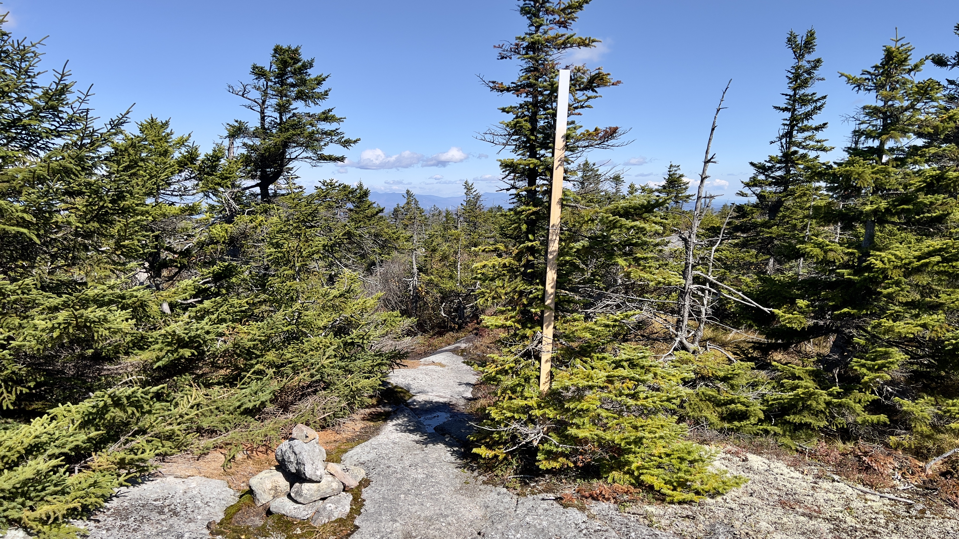
Sunday, September 1, 2024

Finishing Monadnock

 Today I completed all the trails at Mt Monadnock. Took me 10 hikes over 4 years, but I got it done! I parked at the Old Toll House parking and was surprised how few cars there were by 9am, though on my return the lot was almost full. I started on the Old Halfway House Trail which runs alongside the Old Toll Road for much of the way, but is an actual trail. At times it is higher than the road, and does take a turn in about halfway. It was a nice alternative to the road and was much quieter, in fact I saw no one. Once at Cart Path, I took an established herd path up to the road and continued up to the White Trail/Monte Rosa intersection. I stayed straight onto Monte Rosa Trail, which is a short, steep climb up to the Monte Rosa peak. The clouds were very low this morning and it was cool hiking up into the mist. There were a couple of scrambly bits near the top, but nothing crazy. I saw my first 2 people just below the summit. No views today, but that's OK, I had seen the view the last time I was here several weeks ago. The wind picked up as I broke treeline, and I put on a long sleeve, but it was deceivingly warm considering and thankfully no precipitation. I continued up to the summit on Smith Summit Trail, passing just a couple people along the way. I actually enjoy this climb. I had no views today, but I enjoy climbing up the rocks. The 2 times I have done this climb, it's a challenge, but not scary. As always, the summit itself was very busy, in fact there was a large group of children right on the actual summit sitting around. I did not attempt to go over and put my foot on the survey marker as I didn't want to fight through all those kids. With no views whatsoever, and it having taken me a long time to get up there, I didn't linger and began my descent after a quick break. On top of my regular turtle pace, I took my time on this hike, knowing it was my last. This mountain is far too busy for my liking, so it's not a place I intend to revisit unless someone wants me to accompany them on a hike! I needed the top section of White Arrow Trail, so headed over to take that trail down. Look for the trail descriptions painted on the rocks. I knew White Arrow was steep, but it was way steeper than I had anticipated. It was busy with folks ascending as well. Lots of butt sliding and gymnastics to get down the initial descent. I actually thought it was kind of fun! The clouds started to lift as I descended and I had some peek a boo views. Once down to Amphitheatre Trail, I took that back over to Smith Summit. That is a challenging trail in my opinion. My first time on that trail I was going in the opposite direction, which I think I preferred to this time. By the time I reached Black Precipice, the view had just about completely cleared, so I took a few minutes enjoying it before continuing. I climbed back up to Monte Rosa and continued down Great Pasture Trail, which is really steep. This is where I started to bonk and just wanted to be done! I was really glad to reach the Mossy Brook Trail, but found it tiresome because it's very mossy (imagine that!) and rooty. The trail follows a brook that is super mossy, which was kind of cool. It was pretty messy though with storm debris, and very little water flow. I finally reached my final trail of the mountain, Cart Path. This was much smoother, which I was very grateful for. Once back at the Old Toll Road, it was bittersweet. I have a love/hate relationship with this mountain. I did enjoy all my hikes. Every single one challenged me. 

Strava Activity


Monte Rosa Trail


Monte Rosa Trail


Smith Summit Trail


Looking down White Arrow Trail

looking back up what I had just come down


looking up what I had just come down

looking up White Arrow Trail


Amphitheatre Trail


Black Precipice


one little early splash of Fall color

funky rock/tree on Great Pasture Trail

Great Pasture/Mossy Brook/Marian intersection


Sunday, August 25, 2024

Welton Falls North/Elwell/Carter Gibbs Trail - Cardigan Back Country

 As the light starts to shine at the end of my tunnel, I'm feeling somewhat bittersweet about these last few hikes. This one has been on my radar for quite a while. My journey's to date on Elwell Trail have been enjoyable. For the most part, this hike was no exception. I haven't been out in 3 weeks due to family commitments, and it's amazing how much fitness you can lose so quickly! I was blessed with a car spot from Laura today. We dropped my car at the Carter Gibbs trailhead on Hardy County Road in Hebron. At the sharp left turn, there is space for a few cars and the trailhead sign is just visible on a tree alongside the road. We went back to the relatively newly opened Welton Falls Trail North and parked roadside at the trailhead on Hobart Hill Road. There is no official parking, but there is room alongside the road to park safely without blocking. I was curious after my hike on Welton Falls South a few weeks ago what the condition on this end would be and can happily report, it is much more pleasant. The trail does almost immediately start to climb and is pretty consistent for the 1.1 mile climb up to Elwell Trail. Nothing of interest to see along the way, but a good steady climb through the woods. We had great temperatures today, but the bugs were somewhat annoying still. After what started to feel like a never ending climb, we reached Elwell Trail and turned right beginning the roughly 4.5 mile trek over to Carter Gibbs Trail. If the climb up Welton Falls Trail North had seemed never ending, the ups and downs of Elwell Trail almost did us in. There's nothing difficult or technical about the trail, it's just very up and down and up and down. The ups are up and the downs are down, and the respite in between isn't long enough. The only named peak we went over was Oregon Mountain, the rest were just bumps along the way. There were a few blowdowns, but nothing impassable. At one point we're fairly confident we heard a moose in the woods. We never saw anything, but it was loud and we had seen plenty of fresh evidence of one in the area along the trail. There were a few gorgeous viewpoints along the way over to Cardigan and Firescrew. The best part was we saw not a single soul all day. The worst part was the bugs were getting more relentless as the day went on. We did end up donning our bug nets to save our sanity. Carter Gibbs Trail had a really steep descent to start, then became more gradual but still down until finally at the end it almost levelled out. Nothing technical on this trail either but it was very leafy and rooty and on tired legs became a bit of a drag with constant tripping. There is an area in the middle that passes by some cascades, which I have heard can be really pretty. Alas, today it was pretty dry, just a trickle, so we didn't linger. It also felt never ending, particularly the last mile. We were so excited to finally reach the end and see my car waiting so patiently for us! Overall a great hike, roughly 8 miles total (my watch died before we finished!)

Strava Activity

Welton Falls North trailhead

crossing a snowmobile corridor

Right onto Elwell Trail


love the variety of terrain on Elwell

mushroom central this weekend


crossing a power line swath on Elwell Trail

Cardigan and Firescrew from the power lines


continuing across the power lines


my turnaround point a few weeks ago


Right onto Carter Gibbs


dry cascades along Carter Gibbs today


Carter Gibbs trailhead