It was time to start tackling some of the more difficult hikes on my Redlining Project.. mainly because that's about all I've got left, minus a couple sections of thru trails. I decided to do a loop on Monadnock that would incorporate several trails, the main one being Marlboro Trail. I've heard this one is the most difficult on the mountain, so it was with mixed emotions I arrived at the trailhead early to a light sprinkle. I wasn't sure what to expect. I geared up, the temperatures were absolutely perfect, nice and cool with a breeze that kept most of the bugs at bay. The trail starts out relatively mildly with just a gentle ascent. It's pretty rocky and rooty in places, so not a complete breeze, but definitely a nice mild start for what was ahead. The trail gradually climbs and at just about a mile there is a rock staircase, and much like on Pumpelly Trail, this is where the fun begins. The trail instantly becomes steep. At first it's more of a loose rock on dirt type steep, but transitions to rock slab/boulders with lots of scrambling. At least for my short legs it was scrambling, I did see quite a few folks just loping along without any cares in the world. Some views start to appear as you approach tree line and just a few tenths after the climb starts it opens out onto slab with some great views. I was doing a lollipop hike, so at the intersection with Marian Trail, I headed right. It had started to rain lightly at this point but gratefully that didn't last too long. The very start of Marian from this end was a rather steep descent, I felt a bit like I was on American Ninja Warrior. Thankfully that was relatively short lived and the trail became much more gentle with lots of moss and pine needle paths. Marian Trail gently descends down into the woods and just over half a mile later ends at an intersection with Mossy Brook Trail and Great Pasture Trail. I turned left and headed up Great Pasture Trail. And by up, I mean up. Straight up. For about 3 tenths of a mile, Great Pasture Trail climbs steeply up until views open up over to the Monadnock summit and you pop out on Monte Rosa, with its famous weather vane. I had seen this in so many pictures, it was cool to see it finally myself in person. I had some great views from this point all around, which was perfect as the weather was about to drastically change! A true testament as to why one must always hike to be prepared for any conditions, which thankfully I was. I started up Smith Summit Trail. Reached the landmark they call The Tooth, but to me is more like a whale, and continued on up towards the summit. I had previously done the short section to Amphitheatre Trail, but beyond that was all new territory to me. I had read a couple times that ascending Smith Summit Trail was preferable than descending which was what guided me in this direction on my lollipop. It's definitely a challenge and scramble from here on up, but I had it hyped a little bit more in my head to be scarier than it was. The further I climbed, the windier it got. Just below summit I passed a couple headed down who said the gusts were 60mph.. it felt it. The wind was the biggest challenge. It was hard to stay upright at times, so I had to keep stopping and waiting for the gusts to die down before continuing. Visibility was very low, but enough to see the white blazes and cairns along the way. I reached the point where the Dublin Trail/Marlboro Trail joins up and almost wasn't going to continue to the summit, just ready to be out of the wind.. but decided to push on, it was so close. I was amazed at how many people were out, including small children, and lots of people who definitely didn't seem prepared for the conditions. This mountain is always like that though, it's so highly traveled, you see all types. I took a quick video and headed back down Dublin/Marlboro Trail. The descent to Jim's Junction where Dublin Trail leaves off and on back down to the Marian Trail intersection is no joke. I had to sit and butt slide more than I was upright, it's really steep. I think I would have had more fun if the conditions were better, but you take what you get. I passed a LOT of people heading up. I moved very slowly and my quads were cooked. Eventually I made it down the steep section and was on what I called "the flat". Even this felt like it went on forever. Just as I arrived back at the car, the heavens opened up and it started to pour. What an adventure.
Strava Activity
 |
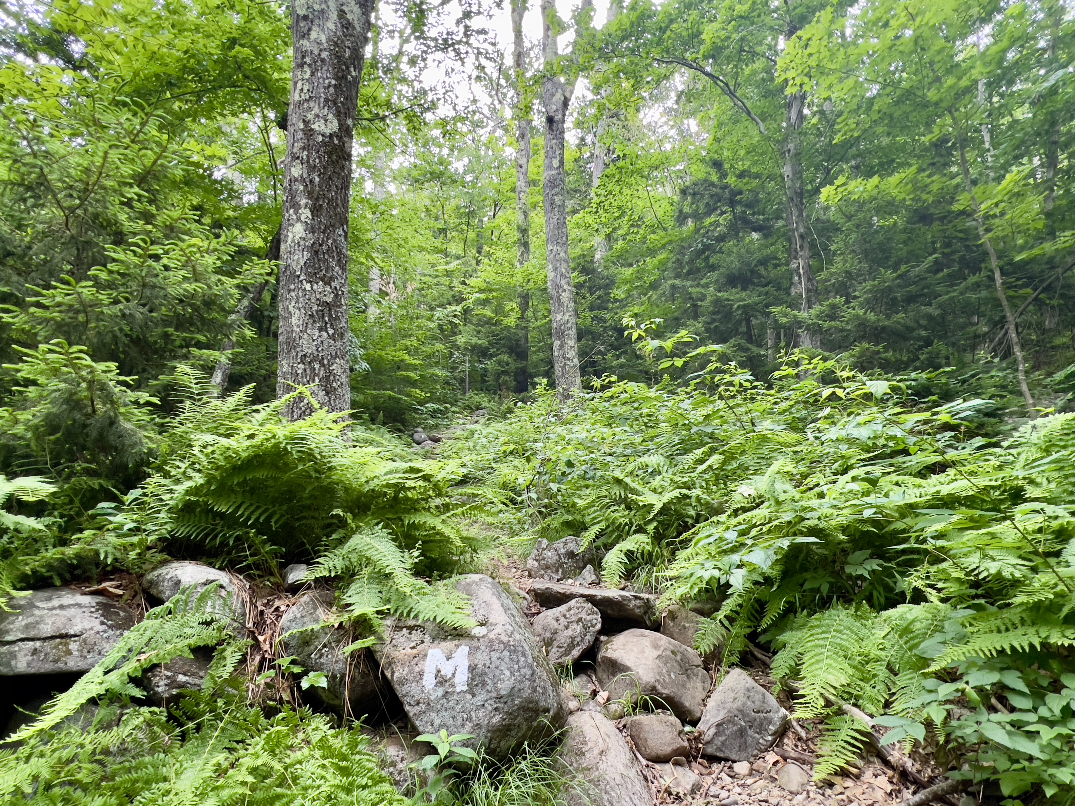
| coming down Marian Trail |
 |
| more pleasant section of Marian |
 |
| intersection with Marian/Mossy Brook/Great Pasture |
 |
| straight up Great Pasture Trail |
 |
| view from Great Pasture Trail |
 |
| Monte Rosa |
 |
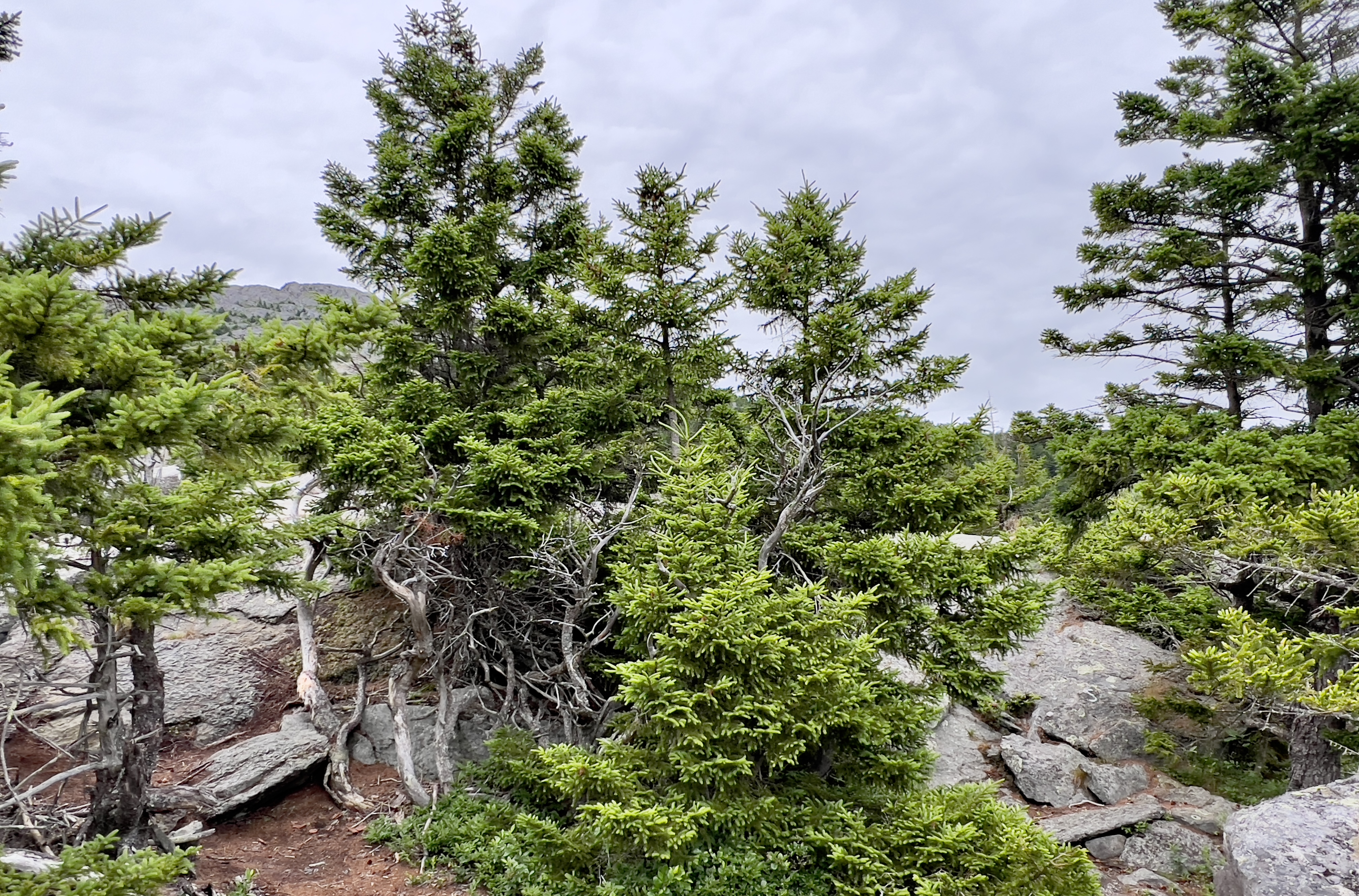
| S for Smith Summit on far right |
 |
| the Tooth |
 |
| heading up Smith Summt |
 |
| heading down Marlboro |