It wasn't a good weekend as far as weather was concerned. Crazy humid and it had/was raining. I opted to fill in a couple blanks on Monadnock by completing the Old Ski Path and Ravine Trail. This was 2 separate hikes. The first from HQ. I tried to get there early, but then figured the weather would deter people. Couldn't have been more wrong there, I think I saw the most people ever on this hike. I started up White Dot, and as the climbing started, the humidity really took its toll. I went really slow, and saw quite a few others in the same boat. Old Ski Path isn't shown on any of the digital map apps I use, but I had pinned where I thought it might be based on the topography lines on the paper map. On top of the heavy humidity, the rocks were really slick from overnight rain and some sprinkles continuing throughout the morning. I finally reached the first viewpoint area, to be met with complete whiteout. It was around here that I believed the Old Ski Path to be. I wasn't sure how obvious it was, I know I have seen the other end on Red Spot Trail, but hadn't noticed it the last time I came this far up White Dot. I was looking closely as I continued on for any sign of a path to my right. There were a lot of people around at this point, and I ended up briefly chatting with a man descending and asked him if he had seen the trail. He was familiar with it and said it's easier to see in Winter when the leaves are down, but he believed it was a little further along right before "the really hard part" (subjective as I thought we had already started the really hard part!). I continued a little ways and lo and behold, there was a sign right on the tree and a rather obvious path. The sign is facing those who are descending so anyone heading up may not notice it, but if you're looking for it, it's easy to spot. Keep an eye out once you pass the first view where it levels out a bit. I gladly turned onto Old Ski Path, so as to be done with climbing. The trail is short, only a couple tenths. I don't believe it's maintained any longer, but was easy to follow. It was rather eroded in some places and with the wet rocks and roots, I had to be very careful so as not to slip, but it's an easy trail that gently descends meeting up with Red Spot Trail. There is also a sign on this end of the trail, however this one is facing those ascending. I continued down Red Spot Trail and met back up with Cascade Link, where I was just last week. As opposed to the dry conditions last week, it was very wet, and although the cascades weren't in full swing, they were definitely present. Amazing how much can change in a week. Back at White Dot Trail, I headed back to the car, passing what seemed like a million people heading up. I'm honestly not upset to see the last of that trail. I don't like an overpopulated trail, and that trail is overpopulated.
(I have the tracks but my Suunto is having trouble uploading multiple hikes from one day)
 |
| Last time starting at this trailhead |
 |
| heading up White Dot |
 |
| I've never noticed this sign before |
 |
| Old Ski Path off White Dot |
 |
| Old Ski Path |
 |
| Old Ski Path |
 |
| Old Ski Path off Red Spot |
 |
| heading down Red Spot |
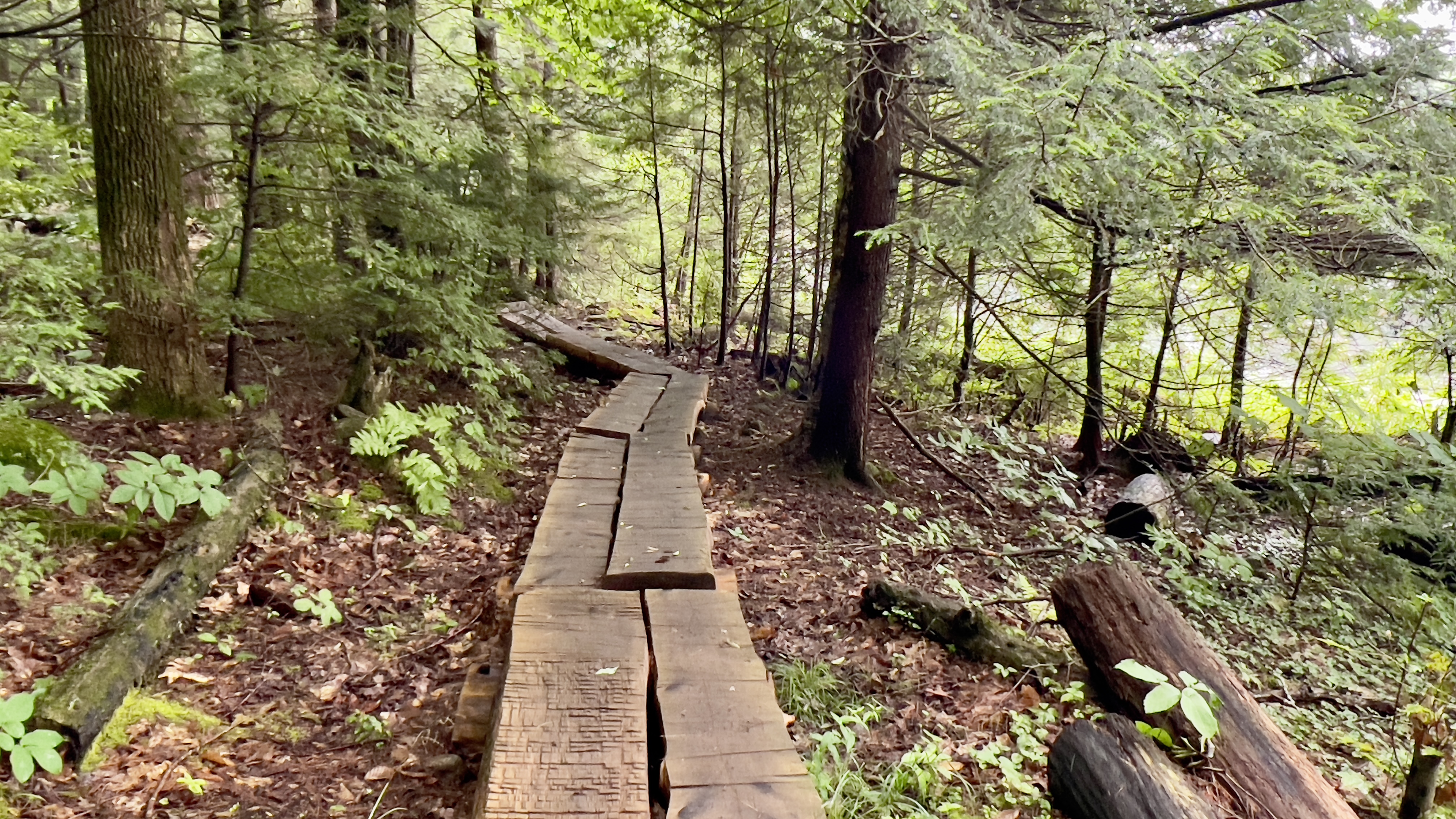
Once back at the car, I drove around to the Gilson Pond Campground trail head and parked there. I had never parked here before. As I hadn't changed my shoes or anything from the previous hike, I just set right out. I decided to redo Pond Trail to add a little extra, since Ravine Trail is so short. Pond Trail is a really pretty, flat trail around the pond. There is access to some of the remote campsites on the far side. Depending on which way you go (I went clockwise from the trailhead) I was almost all the way around, and just before the metal bridge over the spillway from the pond, Ravine Trail heads off to the left. I wouldn't have noticed it if I wasn't looking for it. There is a herd path through some long grass and a sign up on a tree beyond that. Ravine Trail is 0.3 miles long, and doesn't lead anywhere, more of an access trail from some of the campsites to the pond. Initially it was rather messy and there were a few blowdowns. Quite a few wooden bridges at the start too which were slippery in these conditions. It got a bit nicer as you continued though, but there's nothing to see. The trail follows a small brook that isn't super attractive, and it was brutally buggy. I had to don the bug net just for that small section it was so bad. The trail ends at a campsite access path in the middle of the woods. I backtracked and finished the loop back to my car. One more hike left at Monadnock and I'll be done with all the trails!
Strava Activity
 |
| there is a connector trail from the parking area down to the trailhead |
 |
| trailhead for Birchtoft/Pond Trails |
 |
| Ravine Trail off Pond Trail |
 |
| other end of Ravine Trail at the campsite access trail |
 |
| heading back along Ravine Trail |
 |
| once last look from Pond Trail |