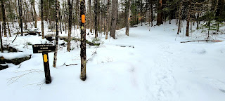
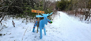
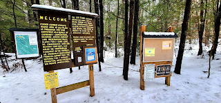
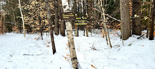
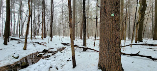
It was the first really cold day of the season, and we had a smaller snowstorm yesterday. I was in the mood for a decent hike though.. meaning decent length, not decent elevation. I chose Fox State Forest as I have not been here before, and it is a little further west which received less snow. Therefore if I ended up breaking trail, it wouldn't be too bad. Turned out to be a good decision. I pulled into the main headquarters parking area and geared up. It was "feels like" 0°F when I started out, but I had plenty of layers and never felt cold at all during my hike. I was surprised at the amount of tracks already in the snow seeing as though there were no other cars in the lot when I arrived. I did end up breaking trail on some of the trails I was on, and on others there were plenty of tracks to follow. Thankfully the park is very well marked with signs at all intersections and blazes on all the trails I went on. It was a perfect bluebird day and the sun kept hitting in magical ways. I found quite a lot of the trails seemed to have either small debris or frozen leaves under the soft powder, and those that didn't had ice. I carried my snowshoes, but didn't end up using them. I started in microspikes, but even lost those halfway through as iceballs kept building up and I was afraid they'd break the spikes. I did fine without for the most part, slipped a little on some of the ice, but only fell once. I started on Ridge Trail and quickly met up with Tree ID Trail. This short trail was probably the "messiest" of all the trails I hiked. There was 1 large blowdown that was tricky to get over and the blazes were difficult to see, but the trail is only a couple tenths of a mile. There are lots of markers next to trees identifying their type, hence the trail name, but I didn't really stop to pay attention to any of them, being Winter and everything being covered in snow. Back on Ridge Trail, I followed it to Valley Road and up to Concord End Road. A small historical cemetery was at the intersection. I was surprised to see vehicle tracks along Concord End Road, which went as far as the gate intersection with Gould Pond Road. I turned onto Gould Pond Road, which had a cleared section from a logging operation back in 2016, that provided the only brief views across to some nearby peaks. I passed a couple of cellar holes with family names, but again with everything being covered in snow, I didn't take time to do any exploration. I followed all the way to the parking area on Bog Road, called Bog 4 Corners and picked up Ridge Trail again. I followed to Mud Pond Road and took this back up to Gould Pond Road. Retraced steps for a few hundred yards before picking up Gould Pond Trail. Followed that back to Valley Road and filled in the gap back to Ridge Trail. This section was really pretty following a brook for some of the way. Doubling back I was on Ridge Trail again until the Virgin Forest area, which I had read has some trees well over 200 years old. I took Mud Pond Trail, which lead up to its name when I broke through some ice in ankle deep mud! I crossed Mud Pond Road and continued on Mud Pond Trail out to the boardwalk to Mud Pond. There is a bird blind at the end of the boardwalk and it was here I finally saw the first people of the day, a Mum and her 2 little ones heading out on the boardwalk. I finished Mud Pond Trail (it was here I had my one slip on the ice under the snow - no harm, no foul). Back at Mud Pond Road, I did an out and back to the gate on Whitney Road. I completed the section of Mud Pond Road that I needed and back tracked to Ridge Trail (this trail circles the entire park, merging off and on with other trails). One last little trail, Mushroom Trail and I was back at the car.