Sunday, December 27, 2020

Middle & South Pawtuckaway

 The weekend weather really was too beautiful not to get out again today. I was joined by my friend Laura and we headed for Pawtuckaway State Park so I could grab some new trails for my redlining spreadsheet and she could just enjoy being outdoors. We parked on Reservation Road and were the second car in but upon our return there were cars parked up and down the street. Lots of folks enjoying this beautiful day. Thankfully we didn't really encounter too many people, most groups we passed were heading up South Mountain as we were heading down. We used spikes for the first half mile on North Mountain Trail, but beyond that we were able to bare boot the entire hike. There was some ice here and there but we were able to avoid it, or walk over it carefully without issue. We took North Mountain Bypass to Chase Trail, then followed Round Pond Road around to Middle Mountain Trail. Some sections of Middle Mountain Trail were messy with leaves and ice. Along the ridge there were several blowdowns, many of which we were able to clear, but nothing that caused us to have to get off the trail. I was pleasantly surprised with Middle Mountain. I had heard from another friend who recently visited that there were some nice views, and that there was. The true summit is wooded, but the trail continues up and over to ledges on the other side with clear views across the park and surrounds. We had a bluebird day and stopped and had a snack and enjoyed the sunshine. This area was really pretty with trees and plenty of spaces to sit and relax should there be other people (which there wasn't for us). We headed back down and over to Tower Trail, which is a short and steep little pitch up to South Mountain and the fire tower. This was where we first started to see others, though quiet enough that we were able to enjoy the fire tower by ourselves. There is plenty of space here as well to spread out and sit and relax for a bit, which we did before heading back down South Ridge Trail. We joined up with Tower Road and walked over to Reservation Road where I needed a short out and back on Round Pond Trail to finish that up for redlining. This section was basically a snowmobile trail, and was rather messy, but still easy enough to walk. We reached Reservation Road and walked back to the car. Another area with not a lot in the way of scenic views, although Middle Mountain is definitely worth the hike up. Pawtuckaway overall is a great place to take a quick hike, or get in a lot of mileage if that is desired. 

Strava Activity


North Mountain Bypass off North Mountain Trail

Chase Trail off North Mountain Bypass

Round Pond Road

Middle Mountain Trail off Tower Road

looking at South Mountain from Middle Mountain

view from Middle Mountain

true summit of Middle Mountain

Tower Trail off Tower Road

along Tower Trail

along Tower Trail

along Tower Trail

view from the South Mountain firetower

view from the South Mountain firetower


South Ridge Trail at the firetower

South Moutain firetower

view from South Mountain

South Mountain

intersection of Round Pond Trail and North Mountain Trail


Saturday, December 26, 2020

Broken Ground Trails

 Merry Christmas! After a couple of days of eating lots of delicious food, I really felt the need to get out and walk some of that off! We had a torrential rainstorm over Christmas, so I was concerned many of the trails previously covered in lovely, fluffy snow would now be icy slip and slides. I chose to stay relatively close to home on a flat network. I had heard of the Broken Ground Trails but didn't really know too much about them beyond that. Turns out they are a neat little network built on what was proposed as a housing development, but saved for conservation. Tucked in between some of the outlying neighborhoods of Concord, there are 3 main loops and a couple of offshoots. I opted to park on Portsmouth Street and started out on the orange blazed Marsh Loop. There is parking for several cars and a kiosk that looks very nondescript near a powerline cut and state highway overpass. A very small sign indicates the start of the loop up along the power lines. My first and only snafu for the day was as I encountered a fork a couple of tenths up the trail that was unmarked. Per the map I was following, the trail appeared to go straight, so I followed that branch of the fork. Turns out, I chose wrong. The trail was the right branch and cut across the power lines into the woods. No worries though, the trail I was on eventually met up with one of the offshoots and I was able to get back on course and stay there for the remainder of the day. The rest of the trail network is very well blazed and marked. The trail I met up with is the white blazed Profile Avenue Connector trail, which basically is a trail from a cul-de-sac in a neighborhood that connects to the main network. I did an out and back on this, which brought me back to an intersection with 2 of the main loops. From here I took the yellow blazed Pond Loop. The trails were a mix of bare ground and ice in some places to a good 1-2 inches of mostly firm and crusty snow. I had microspikes and took them off and on as needed. Pond Loop follows the woods and meets up with Curtisville Road which it follows for about 0.2 miles before intersecting with the other parking area for the trails. This is a quiet back road and there are no issues walking it for this brief section. I opted to do the red blazed Curtis Loop from the parking area before rejoining Pond Loop and closing out that circle. Pond Loop on this side merges with the blue blazed Nowell Loop before splitting off and creating another circle. It sounds confusing, but with a map in hand, I had no issues following along. I completed the Nowell Loop doubling back over the 0.6 miles I had already done which is in conjunction with Pond Loop. Once complete, I did the second half of Marsh Loop back to the road at which point I picked up the purple blazed Ry's Way Mountain Bike Trail. Some of these blazes were faded and a bit hard to see, but being laid as a mountain bike trail (hiking is permitted) it wasn't too difficult to see the trail at all times. Ry's Way meets back up with Nowell Trail, which I followed back to Marsh Loop and this time took the trail I should have taken at the very beginning of the day back to the car. So, lots of circles and a couple of double ups and I was able to complete the whole network in 8.8 miles. Outside the pond, there really isn't anything scenic along the way, these trails are purely for the joy of being outside and enjoying the woods. 4 more trails I can mark off my redlining of the AMC South Trail Guide. 

Strava Activity


Kiosk on Portsmouth St

start of Marsh Loop on Portsmouth St

Profile Avenue Connector


intersection of Profile Ave Connector, Marsh Loop and Pond Loop

Pond Loop at Curtisville Road


Kiosk on Curtisville Road

Curtis trail off Nowell Trail

the other side of Pond Loop on Curtisville Road

intersection of Profile Avenue Connector, Pond Loop and Nowell Trail

where Marsh Loop and Nowell Trail split

Bottom end of Ry's Way Trail

intersection of Ry's Way and Nowell Trail

intersection of Profile Avenue Connector, Marsh Loop and Pond Loop


Saturday, December 19, 2020

Walter Newton Natural Area

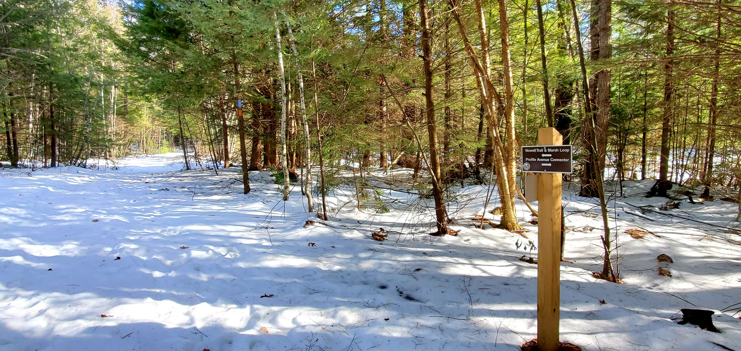
 Last weekend was my first time back on a mountain with snow, this weekend was my first time back on snowshoes in several years. I was actually surprised how quickly I became comfortable walking in them again, I had thought I might be a bit clumsy. I opted to head north as we had a really big snowstorm this week, but the north actually received far less snow than the south of the state. I figured I'd possibly be breaking trail, and didn't really feel like doing that in 2-3 feet!  I made the right choice as the Walter Newton Natural Area in Plymouth only received about a foot of snow, and I only had to break trail for about half of my hike. I parked on Cummings Hill Road where an area had been plowed for parking which fit 4 cars comfortably. I was first one there around 9:15am, and the lot was full when I returned. It was a balmy 2°F when I started, but I had enough layers that I never felt cold at all. I headed down the Ruth Walter Trail which was already packed down. I really enjoyed being out in the woods, surrounded by all that new fluffy snow. I had a rough idea in my head of what I wanted to do, and when I reached the intersection of Henry's Trail, I found it had not been broken out yet. I hesitated..  do I go for it, or stick to the shorter loop that was already broken out. I decided to head to the next intersection, Rainbow Falls Trail and do a loop from there. At most, that would be about 1.1 miles of breaking trail. Once at the Rainbow Falls Trail, I was pleasantly surprised to see that trail had been broken out before me. So I started up, noticing the tracks appeared to be cross country ski tracks. At the top of a small incline, those tracks stopped. The person skiing had obviously tired of breaking trail and turned around, or just wanted to get a little up before skiing back down. I hesitated again, do I keep going or turn around as this person had? I have been on trail breaking hikes before, but always as the caboose, never by myself. My heart tends to beat my head out in these arguments, and onwards I went. I tried to follow blaze to blaze as best I could. It was a weird feeling not really knowing if I was actually on the correct trail or what was going to be underfoot.. I kept thinking I would take a step and end up sinking waist deep or more into a hole! Thankfully that never happened and I made it very slowly up, up, up the Rainbow Falls Trail. In retrospect, it wasn't a huge incline, but it sure felt like it at the time. I just kept taking breaks and kept the next blaze in sight. Eventually I ended up intersecting some official cross country ski trails, and these had been broken out, so for the remainder of the trail up I had some guidance and less work to do. I reached the parking area on Texas Hill Road and the top of Henry's Trail, which, much like the bottom of it, was not broken out. Since I had to get down either way, I headed down the unbroken trail. This time a little more energetically as it was down, rather than up all the way. A couple times I got caught off trail following wayward xc ski tracks. Someone had sort of followed the xc trail and sort of not, and I would follow them for a bit before realizing I was a little off the hiking trail. Thankfully never too far and I corrected quickly and easily. I was just so happy to reach the Ruth Walter Trail again knowing the rest of the way would already be packed down. I doubled back the short section I had done earlier, reaching Rainbow Falls, which not surprisingly were completely frozen and headed down the Newton Trail back to my car. It was a bluebird day and I only passed 1 other hiker out with his dog. 

Strava Activity

 (pictures uploaded in reverse order)

Along Henry's Trail are a couple benches to enjoy the views

Looking up Glove Hollow Trail


Rainbow Falls


The kiosk on Texas Hill Road

unbroken Henry's Trail that I broke out


Parking on Cummings Hill Road

kiosk on Cummings Hill Road