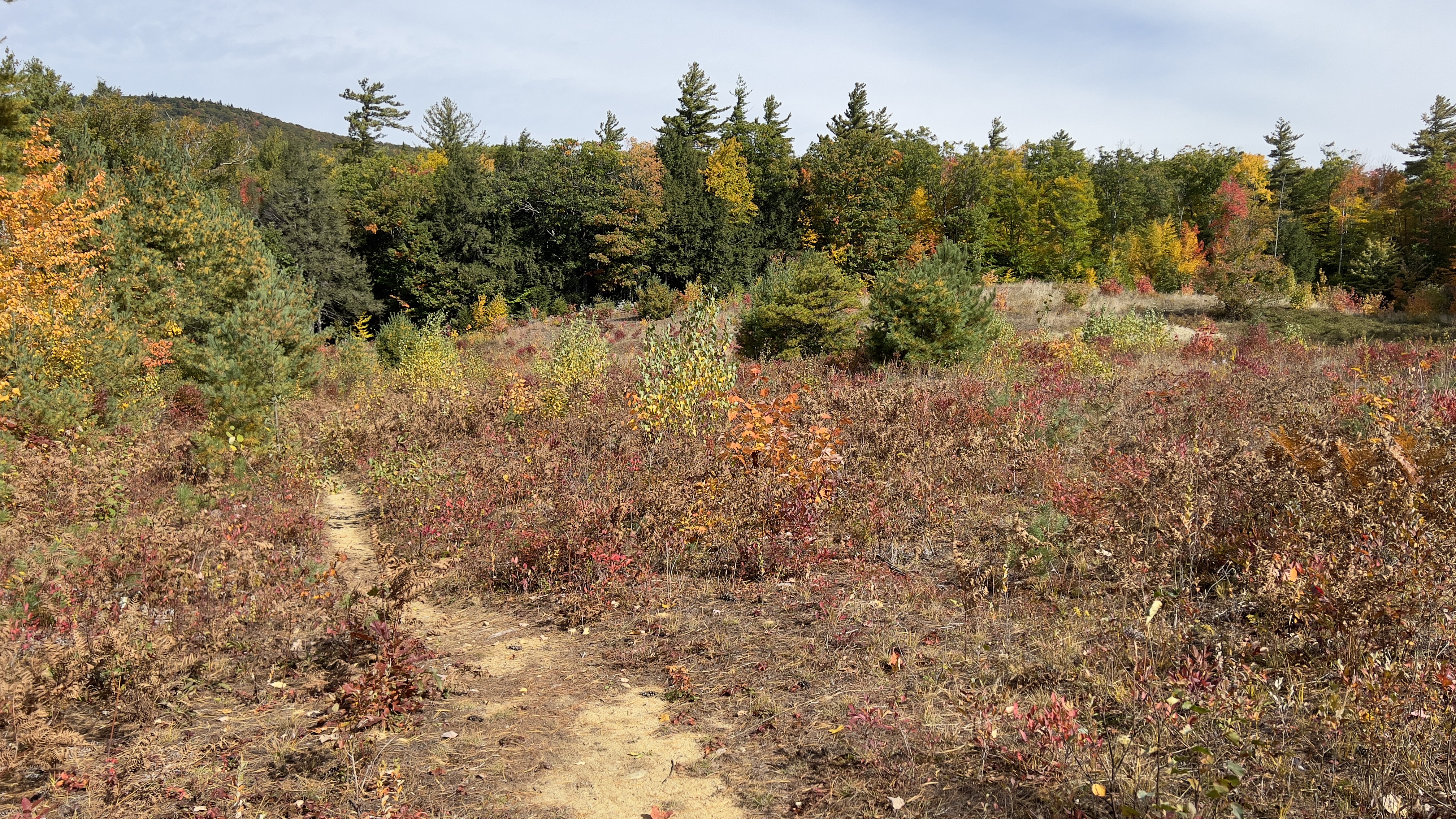
I know I've said it a million times, but exploring all these town forests and state parks that I would not ordinarily even know about has been so amazing. Today was no exception. I headed over to Francestown to explore Crotched Mountain Town Forest. There is a parking area off Farrington Rd just as it turns off Rt 136. There were already a couple cars there. This is a longer alternate way to hike Crotched Mountain, which was not my intent today. Instead I planned on staying low and hiking through the forest, as a couple of the trails are in the AMC South Guide in this area. I started on Blueberry Trail, which was a very short loop from the parking lot that doesn't seem to have much traffic as it was a bit overgrown in places, but easy enough to follow. I joined Link Trail at a picnic table and followed that just over half a mile to Bullard Hill Rd and Summit Trail. From here I jumped on Joslins Loop for a short distance before picking up Scots Trail. None of these trails had anything super scenic, but they were in great shape, all well marked and very flowy. I really enjoyed my time on these trails. Scots Trail merges with Summit Trail West for a brief period. I saw a sign marking Black Gum Trail and decided to take this, but very soon after encountered a trail closed sign, so I backtracked to Summit West and continued. At a left turn there is a clearing and gorgeous view up to Crotched Mountain and the knob next to it. Today in particular with the colors it was amazing. At the next intersection, Summit Trail continues up starting the steep climb to Crotched Mountain and Scots Trail continues around the marsh. I needed to fill in a short section of Summit Trail here to the Lower Link intersection, where I had previously descended to on my last adventure here a couple of years ago. A quick up and back to grab that section and I continued on Scots Trail. There were several old roads/trails branching off here and there, but I stayed on Scots Trail which was blazed in white. Just before a cleared section, a yellow blazed trail crossed over Scots Trail and I got a bit confused as there were no signs indicating what the trail was. Turns out it was Summit East Trail, which is what I needed to head back to the car. Once back at the East/West intersection of Summit Trail, I was enjoying my hike so much I decided to lengthen it a little. I grabbed the section of Summit Trail I needed back down to Bullard Hill Road, then went back up Summit West Trail to Scots Trail and retraced my steps here to complete Joslins Loop, from where I had previously picked up Scots Trail. This was essentially an old road/maybe a snowmobile trail which loops around and joins the end of Farrington Road. I was taken by surprise when a truck was coming up Joslins Loop, just at a steeper section. They had 2 canoes in the bed of the truck, so I wasn't sure where they were headed as I wasn't aware of any bodies of water in the area for that sort of activity. I was a tiny bit unnerved by this and picked up my pace a little. I soon met up with Farrington Road and did the quick road walk back to the parking area. There were a couple of beautiful houses on this road and I thought about how peaceful it must be to live out here. Oddly enough the truck came back past me again, so I wondered if they had been following some misguided GPS instructions or were locals and just checking on something in the area. Definitely another hidden gem trail network even with nothing of particular note to see.
Strava Activity
 |
| Intersection of Link Trail and Blueberry Trail |
 |
| Saved Quarry Loop for another day |
 |
| Link Trail |
 |
| Scots Trail off Joslins Loop |
 |
| heading back down Summit at the Lower Link junction |
 |
| back on Scots Trail from Summit Trail |
 |
| along Summit East Trail |


No comments:
Post a Comment