Saturday, December 23, 2023

Monadnock-Sunapee Greenway - Nelson

 I had one large section (roughly 8 miles) and then 0.2 miles right at the top of Monadnock left to complete the entire Monadnock-Sunapee Greenway. Today, thanks to a car spot with Laura, I knocked out that last big 8 mile section.. and I'll finish the very last 0.2 miles next year when the snow melts. I have enjoyed almost all the MSG more than I ever anticipated.. this section wasn't my most favorite, but it wasn't the worst thing I've done either! We spotted the car on Brown Road in Harrisville. The small parking area I had used before was roped off, but there was a pull off alongside the road with room enough to get the car off the road. We then drove back to the Route 9 parking area for the MSG off South Road. We geared up, and headed out. The trail starts on a section where the trees almost create a tunnel like effect and immediately starts a gentle climb. The trail was wide, I'm not sure if this is snowmobile in Winter, or an old road and the footing started off good. We passed the Stoddard/Nelson town line and then a thru hiker trash can. After a left turn, the footing became more eroded and rougher. There was ice, but it was all avoidable thankfully. The climbing continued and seemed to go on forever, but in reality was just under a mile from the car. The trail, which was even wider now, improved footing somewhat, though still gravel and descended about half a mile to a pond with a bridge across. Another very brief gentle climb before descending down out of the woods into a neighborhood and really steep descent on hard packed dirt road. The road crossed a stream before climbing back up to reach the center of Nelson, which has no services, just a lovely church. Here the trail turns left onto paved Nelson Road and follows it for just under half a mile before turning left onto dirt Tolman Pond Road. This section was mostly roads, but they were quiet roads today with only a few cars passing us all day. Tolman Pond Road heads back up through the beautiful back country of Nelson. Take a slight right onto Cabot Road, this section wasn't marked as well, but we were following a digital download, so had no issue navigating. Just keep looking for the white rectangle blazes. This might have been my favorite stretch. Quiet country road with some views over towards Crotched Mountain. As the road is descending, the Greenway re-enters the woods on the right at a giant glacial boulder. It is marked, but the sign is a bit small, and we almost missed it. The next mile or so is back on trail. An initial descent to a very, muddy area then turns into a short moderate climb before descending again. Here we passed the only other hiker we saw today, he appeared to be a NoBo thru hiker. It was very leafy, with the leaves covering rocks, roots and mud.. this slowed us down a little and seemed very, very tedious. We were also starting to get tired and it being an overcast day, it felt much later than it was, which messed with us mentally.. however we pushed on and finally reached Nelson Road again, which this time we crossed over and continued on a gravel road signed "Rosemary's Trail" (or Aldworth Road on street maps). This road passed a couple of residences, with a couple of small ups and downs before reaching Childs Bog Dam. It was rather muddy/icy on the final descent to the dam, but we were able to carefully avoid the worst of it. Childs Bog Dam was really pretty, somewhat frozen it created a lovely waterfall effect. Continuing on, we were back on a country road passing a few houses. The trail takes a sharp left onto Seaver Road which shows off an amazing view over to Monadnock and passes Seavers Reservoir and Chesham Pond with land owned by the Harris Center. One final push crossing Chesham Road, the trail takes a turn right back into the woods for a short half mile connector over to Brown Road. 

Strava Activity

Starting out at Rt 9 parking


Nelson center

heading up Tolman Pond Road

Tolman Pond Road

along Cabot Road


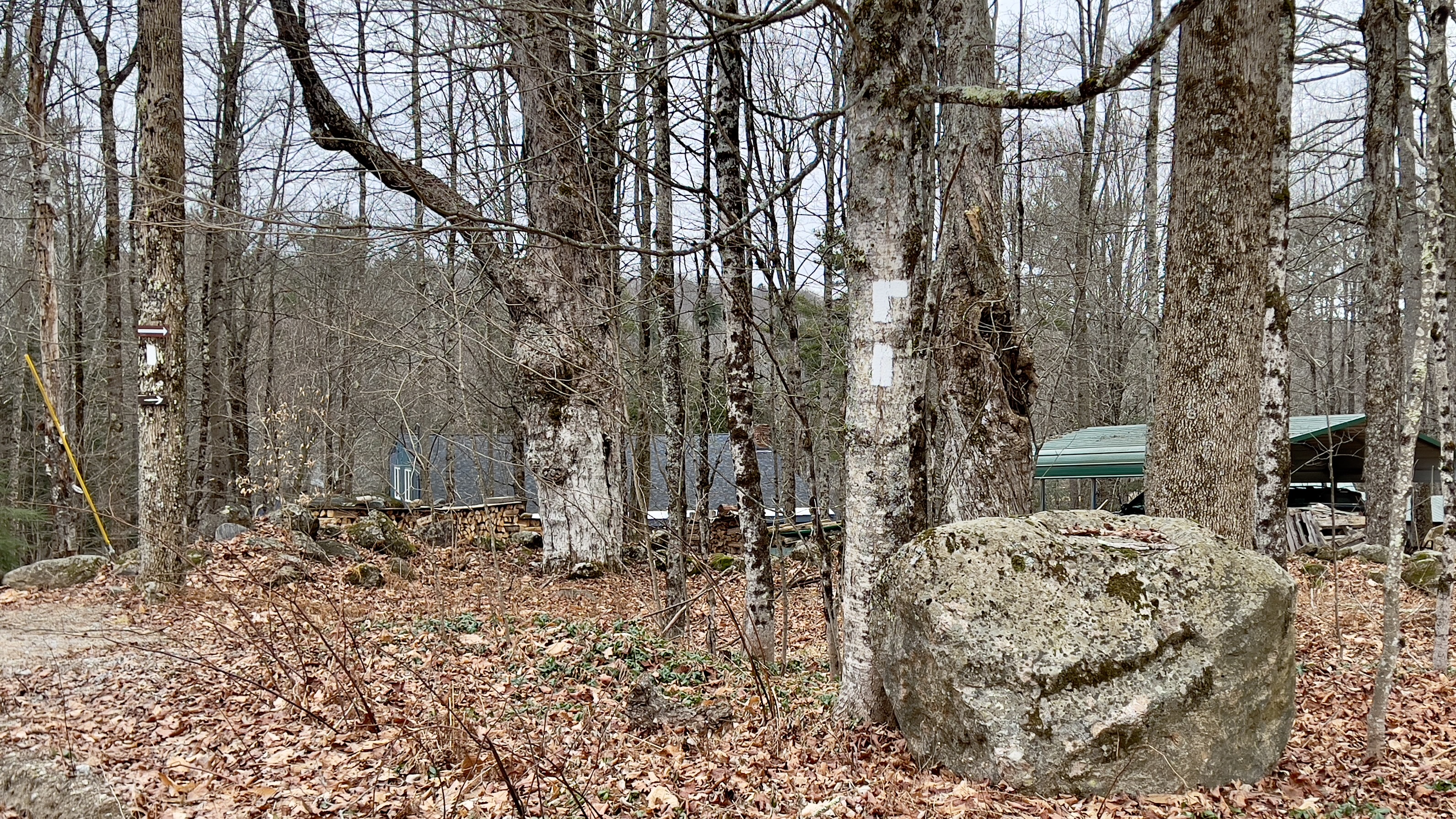
turning off Cabot Road back into the woods


heading down to Childs Bog Dam

Childs Bog

Childs Bog Dam

turning onto Seaver Road

this was different seeing the ice like this

along Seaver Road


Seavers Reservoir

crossing Chesham Road on Seaver Road

final turn back into the woods


Brown Road parking

no more parking here, but space alongside the road


Saturday, December 16, 2023

Royce Trail

 Still on a quest to avoid snow, I headed to Gap Mountain to do an out and back on the Metacomet-Monadnock Trail and Royce Trail. I knew Gap Mountain had no Winter access, but I thought that was due to the parking not being plowed, turns out the parking is also gated. A moment of panic, and I headed to Donovan Trail, which was on my agenda today and just a short way down the road. The maps show a Parking symbol here too, so my route would be unchanged, just the start/end point would be different. Old Mill Road is hard packed dirt at first, but then turns into more of a Class VI road. I carefully made my way along, and reached what the digital map showed as the trailhead, only to find lots of No Parking signs here too. A little unsure what to do next, I continued a little further down the road and turned around. The spot I used to turn, I realized was completely off the road, there were no signs at all in this area about parking, so I decided to park here and hope for the best. The only signs were about Hunting/Shooting and were labelled Gap Mountain Forest, so I felt confident I wasn't impeding on private land. I geared up and headed back to the Donovan Trailhead. Cross a small open area and there is a sign dedicated to John Michael Donovan, for whom the trail is named. The trail was a 0.3 mile trail connecting up to the Gap Mountain Trail. Nothing of note to see, but nicely maintained with some stone steps at one point on one of the steeper sections. It was a gorgeous day out today and the sun was just starting to pop through the trees providing some magical light. At the intersection I joined the Metacomet-Monadnock Trail towards the Gap Mountain North parking area, which also coincides with the Wantastiquet-Monadnock Trail. The trail follows a stone wall for a short distance before turning left and crossing it, weaving through the woods, crossing a couple of old roads and over another stone wall before reaching the intersection for the short spur to the parking area. I hadn't expected to see anyone with the parking area closed, but I passed a couple heading up Gap Mountain. I figured they must have parked outside the gate. At the intersection I continued straight towards Route 124. This section was just under a mile and had a variety of terrain from lovely pine bed forest, several small stream crossings and some bouldery sections to scramble through. I found some mud in this area, but it could all be avoided. I reached Route 124 and carefully crossed over to join Royce Trail. This trail heads up the side of Monadnock, but has no parking area at the bottom. The trail started with a more technical rocky/mossy section but then opened up into wide open wander through the woods. With the leaves down, the sun was shining through the trees making everything so bright. The trail climbs gently then a little more moderately, but really didn't feel too bad at all considering where you are! I hadn't expected to see anyone on this trail either with no parking access, but 2 singles passed me on my way up, which took me completely by surprise! The trail got a little steeper and at roughly 1.2 miles from Rt 124 crossed over Cart Path. It was here I saw the first real ice of the day and even still it was in small patches and all avoidable. The next 0.3 miles was the steepest section of the day climbing up to reach the intersection with Monte Rosa Trail and White Arrow Trail. This was my turnaround point, but I could see looking up White Arrow Trail the ice became more prevalent. I retraced my steps and was surprised to see another couple heading up as I was descending. Way more people than I had expected! Although there was nothing scenic along this stretch, the bright open forest and shining sun, made the whole day so enjoyable! Back across Route 124, I returned to the spur to Gap Mountain North parking, and saw yet another couple! I was surprised to see when I popped out at the gate for the parking area there were 5 or 6 cars parking along the road. From here it was a short road walk back to where my car was parked. 

Strava Activity

my day started on a bright note

looking down Old Mill Rd and my car

Donovan Trailhead on Old Mill Road


Monadnock from the Metacomet-Monadnock Trail


also Wantastiquet-Monadnock Trail

some of the varied terrain along this section


approaching Rt 124

Royce Trail off Rt 124


my turnaround point


the wide open forest along Royce Trail


back across Rt 124 onto M-M Trail

one of the stream crossings aided by Mother Nature

Gap Mountain North parking area - no Winter access

Gap Mountain from my road walk back to the car