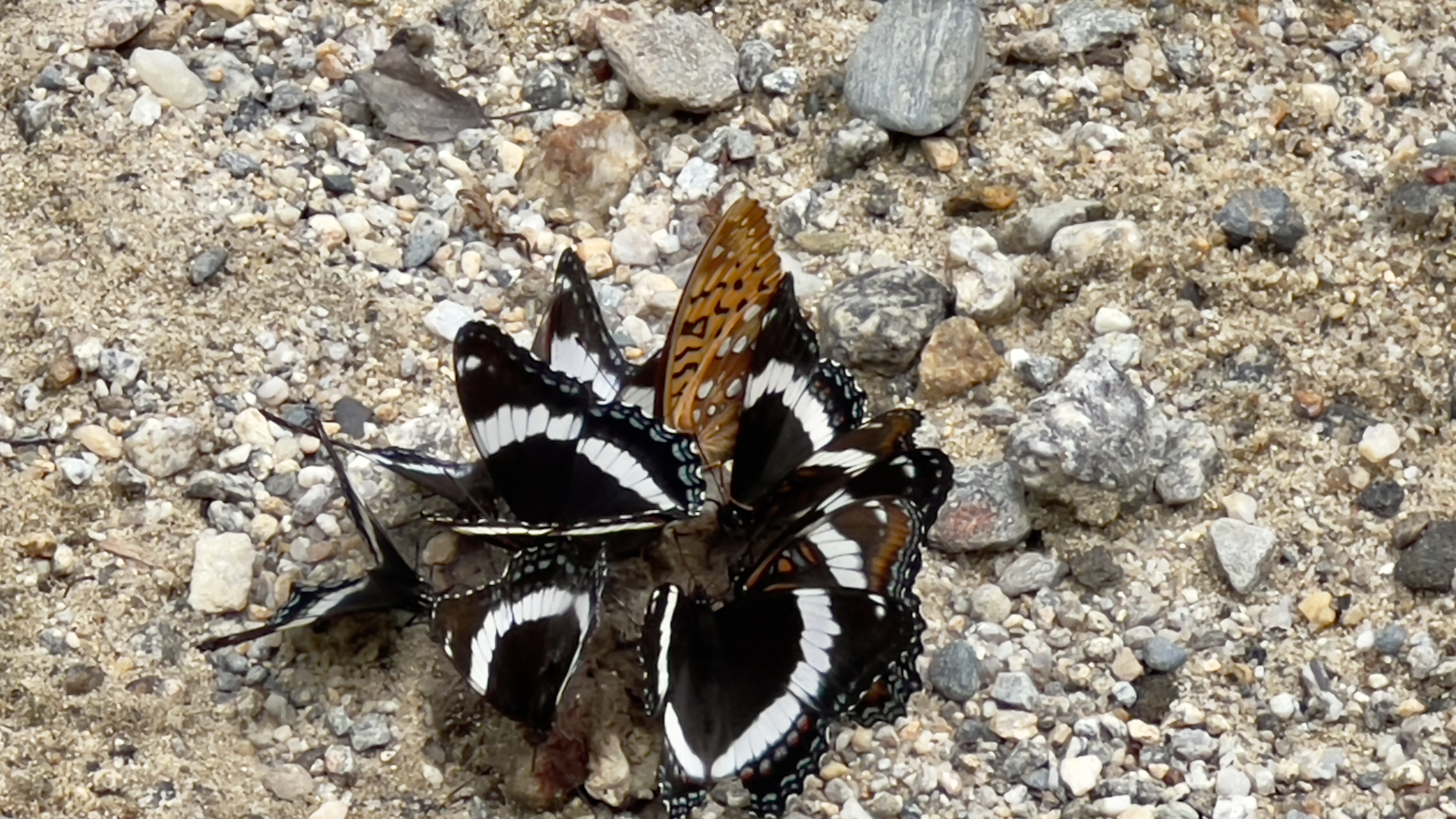
So it's still been raining. Pretty sure it's been forever now. Today we caught a break briefly, though the humidity was still very much present and accounted for. I opted to do Goshen Trail on Mt Sunapee. I've heard less than favorable reviews of this trail, and I was on a time crunch with a family commitment tonight, so I figured let's just do it. It's published as 2.3 miles long and is described as an old service road for the ski resort. The trailhead is on Center Road in Goshen, off Brook Road. It is not marked with any trailhead signage, so I had made sure to read several descriptions carefully and had a digital download with me as well. I parked in a small pullout area just before a rotted out bridge on Center Road that was very rocky (in fact I ended up with a flat tire later that night that I'm pretty sure was a by-product of turning my car around in said rocky area). The trail starts across the rotted out bridge and follows Center Road for about 0.1 miles. This was very wet and rocky. I was thinking it was going to be a long 2.3 miles if it was like this the entire distance. At the 0.1 mile mark, Center Road stays straight and an unmarked road turns left. This was dry and sandy and I was happy to see this was the way the trail went. Some faded blue blazes also started from this junction, but still no signage. I was pleasantly surprised that for about the next half mile, the trail was mostly dry and relatively flat. It followed a brook most of the way, and while thankfully no giant mosquitoes like my last few hikes, there were a number of swarming little pests that prompted me to put on my bug net for a bit. At roughly the 1 mile mark, the trail curves left, then right and starts to climb. Here is where the terrain went back to very rocky and today, from all the rain, also very wet and slippery. Foot placement was crucial, and I found many of the areas that looked solid were in fact just mud! I reached a point of not caring if my shoes were wet/muddy, I just didn't want to slip. I only fell once but had a couple of other close calls! To save the sanity, there were a few dry areas interspersed with the wet, but overall, the climb was basically a small river. While never crazy steep, it was enough elevation gain to get the heart pumping. There were a couple peekaboo views through the trees in the lower half of the climb, but the further up you went, it was just an old road in the woods that appeared to also be a snowmobile trail in Winter. There were a few sections that were really eroded on the edges. At the very end of the trail, take a right hand turn and meet up with the service road that doubles as Solitude Trail and the Monadnock Sunapee Greenway. To reach the summit, turn left here and head up a steep climb of the service road, which I opted not to do, having done that section previously. I did go a few hundred feet to a junction of the Upper Wingding ski trail that has a lovely overlook of Lake Sunapee. Heading back down, again the trail is not signed for Goshen Trail, look for a road heading off to the right just after the large sign on the tree for Solitude Trail and the MSG. I retraced my steps back down and about halfway encountered my first people of the day, a couple and their dogs. On that last half mile of flatter/sandy trail there was an abundance of butterflies fluttering around, which I stopped to enjoy several times! Goshen Trail is not one I would recommend unless you are redlining. It's rather boring and looks like it has the potential to be wet and slippery often.
Strava Activity
 |
| I parked just to the left of this washed out bridge |
 |
| turn left here |
 |
| old faded blue blazes mark the way from this point |
 |
| a section of eroded trail - much of the trail like this |
 |
| view from Upper Wingding ski trail |
 |
| heading back onto Goshen Trail from Solitude Trail |
 |
| random trail side finds |
 |
| more random finds |
 |
| not sure I want to know what they're feasting on |


No comments:
Post a Comment