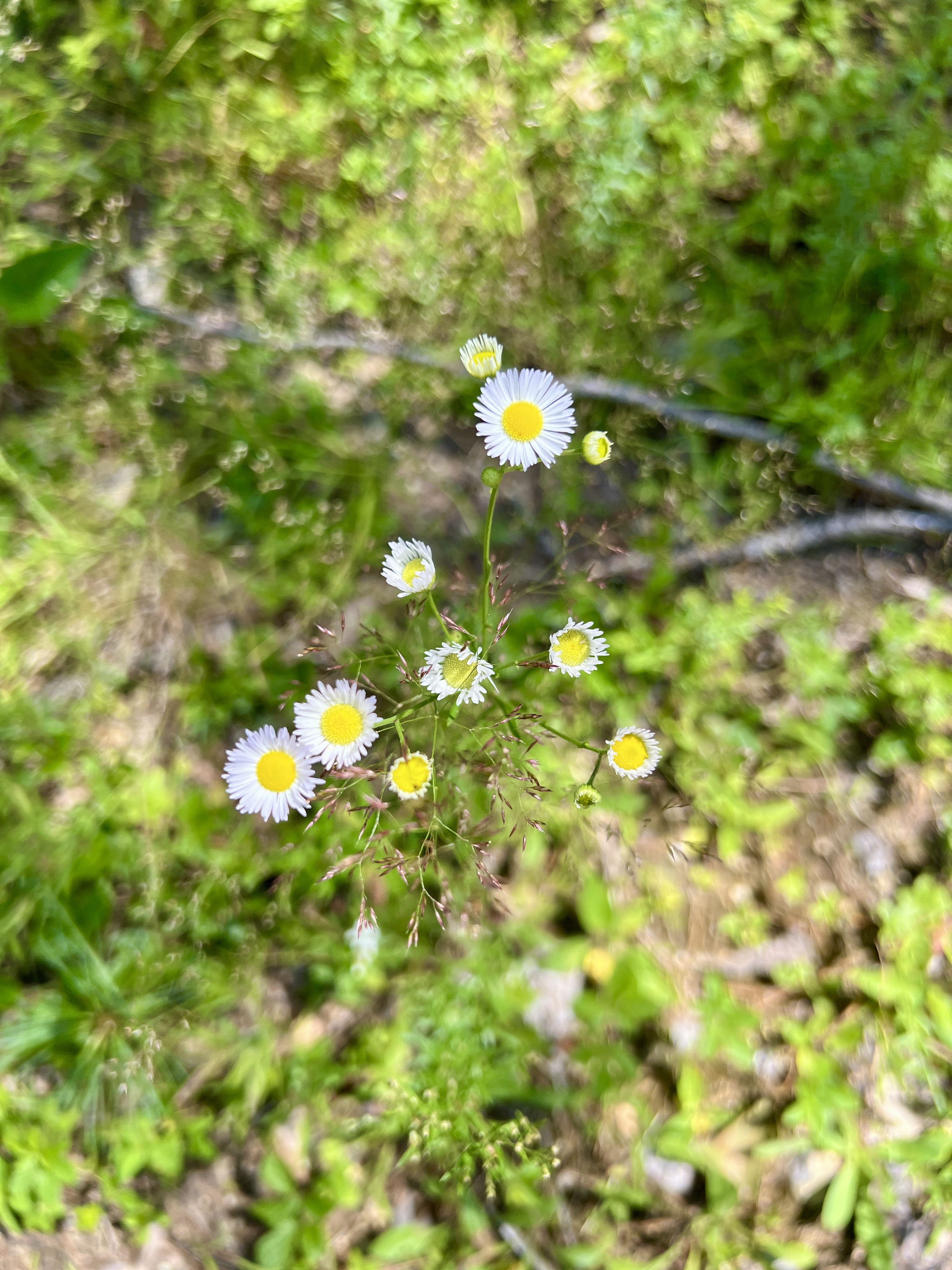
Happy 4th of July! It was another super hot and steamy day. Way too many of these lately. I decided to stay low and hopefully low key. Laura and I headed to Sunapee for me to complete my final section on the Sunapee Ragged Kearsarge Greenway. We dropped my car at the Sunapee Town Office and headed back to the Mt Sunapee Resort to begin. I needed the Province Trail portion of Section 1, so rather than doing an out and back from Old Province Road, I opted to redo the section of Summit Trail from the parking lot to the Province Trail intersection. I had not remembered this section having so much elevation gain! At only half a mile long, it was probably more gain in one climb than we'd do the remainder of the day! It was also buggy and already very humid, so I was very glad to reach the intersection. Turning right on Province Trail, which is marked with a "Ski Parking Lot" sign rather than a Province Trail sign, we continued another half mile to the trailhead on Old Province Road. There were several vehicles at the small parking area. I was now officially starting my last section of the SRKG. Old Province Road is a hard packed dirt road and descends down a decent hill (which I had known about and was in large part why I had chosen to go in this direction, rather than having a big uphill right at the end of the hike!). At the end of Old Province Road, the trail turns right onto Brook Road, which is a paved road. Not super busy, but not quiet, there was a steady stream of traffic but plenty of space to walk alongside the road safely. As you get closer to the intersection of Rt 103, there were some pretty views across towards Mt Ascutney and into Vermont. At the end of Brook Road, turn left onto Rt 103 for about a tenth of a mile, then carefully cross, as Rt 103 is a busy road, and head down Harding Hill Road. Another dirt road, descend about 0.7 miles, keeping right at the fork at around half a mile until you reach a gate with the SRKG trapezoid blazes pointing you into the woods. Here the trail traverses for about 2.5 miles on a combination of snowmobile corridor and woods with lovely pine needle path. The entire section was really quite pleasant, even on the snowmobile sections as there was a defined pathway. At times the grasses alongside the path were quite high, and we did end up with 1 tick each. I honestly thought we'd get more. There were a lot of ferns, it was really pretty in places. The downside was the bugs. They.Were.Brutal. We had to don our bug nets. This was quite possibly the worst day yet this year for the bugs. While no actual peak bagging, the trail did go up and down a few times, with one significant, pretty steep yet short up to a signed spur labeled lookout, but also marked with "No View". We had just before bumped into one of the trail maintainers, who happens to be a friend of mine, Dan, who was out mountain biking and doing trail recon. He also informed us there was no view at the spur at this time of year. He said in Winter with the leaves down, there was a little more to see, but not now, so we didn't bother to take the spur. In the middle of this section was a logged area, which was a bit of an eyesore, but they've done a good job keeping the trail intact and passable with no issues. The trail reaches Stagecoach Road, and turns right, and then another right onto Hells Corner Road, before turning left at the entrance to Frank H Simpson Reserve. Here the trail traverses for about 1.3 miles. This was the muddiest section we encountered for the day, but overall the worst of the mud was avoidable. The path was a little more technical with mossy rocks, but other than some very small ups and downs was on the flatter side. The trail pops out and crosses Stagecoach Road before re-entering the woods for a final climb on what appeared to be a re-routed section, as it veered from what I had as a digital path we were following, but was well marked and easy to follow. Right near the end of the trail portion of this section was a very steep descent down to a park with a playground. Cross the playground and turn left onto Edgemont Road. Until now the trail had been exceptionally well marked. We did not see another blaze from this point on, and honestly wouldn't have known where to go if it had not been for the digital map I had created as even the trail map on the SRKG website wasn't overly clear which roads the trail followed. So to the best of my knowledge, we were on the right track. We headed down Edgemont Road, turned right on High Street, another right on Elm Street and a left on Maple Street. At the end of Maple Street, we crossed and headed over the river on a bridge to the Quack Shack ice cream stand. Being July 4th, this area was busy, and I'm sure we looked a treat in our hiking gear and red faces! We took a well earned break and enjoyed an ice cream before continuing. We headed up the stairs to the parking lot and joined the River Walk, passing by a covered bridge, going under a thru way connected to a barn, turned left on High Street crossing the river again (continuing to follow the River Walk signs) and then finally down a green way with exercise stops and a beautiful little hidden waterfall/swimming hole before finally ending at the Town Hall parking lot and my car. Total was 9.4 miles and just over 1100ft of gain for the day. Probably a little more than we would have liked on such a hot and steamy day, but we did it! I've now submitted for a Certificate of Completion from the SRKG along with a small donation to help maintain the trail.
Strava Activity
 |
| Starting out at Sunapee Ski Resort |
 |
| turning onto Province Trail |
 |
| trailhead on Old Province Rd |
 |
| turn right on Brook Road |
 |
| views along Brook Road |
 |
| left onto Rt 103 |
 |
| right onto Harding Hill Road |
 |
| right into the woods |
 |
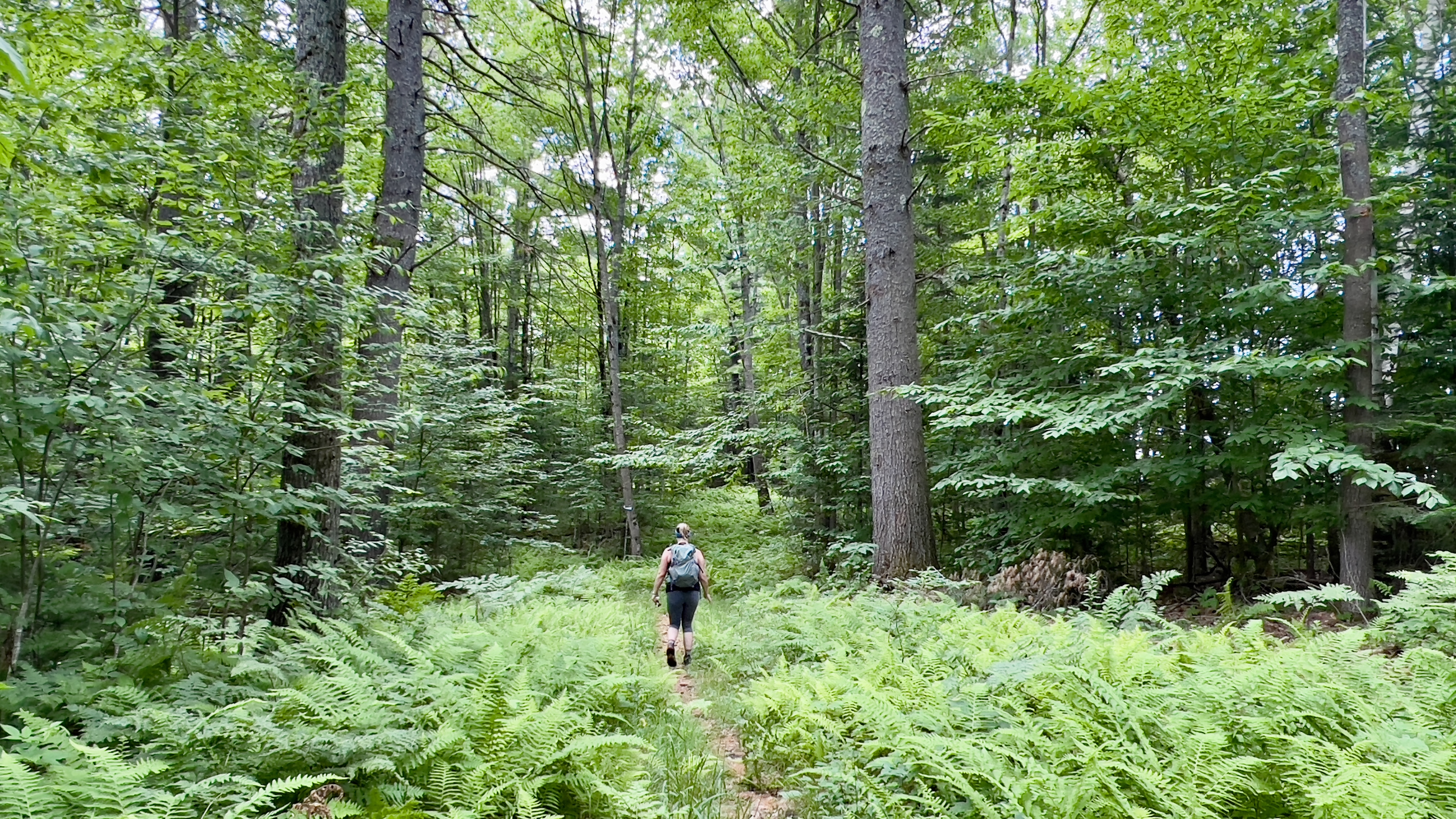
| variety of terrain! |
 |
| right on Stagecoach Road |
 |
| left off Hells Corner Rd into the Frank Simpson Reserve |
 |
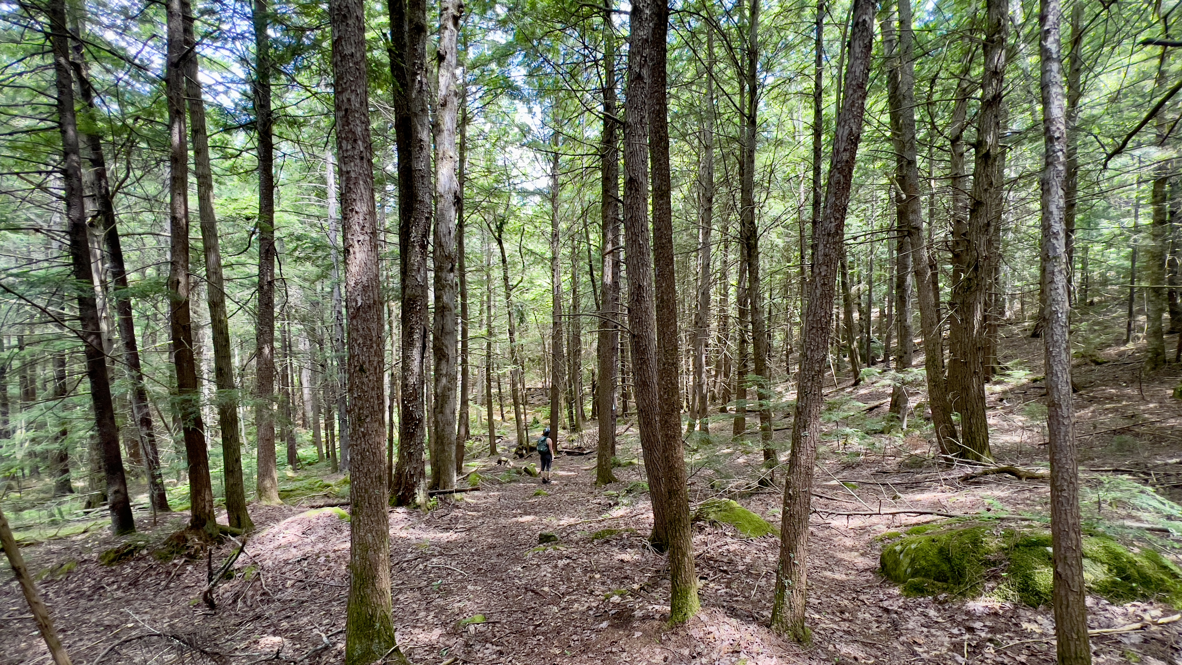
| the mossy rock section |
 |
| cross Stagecoach Road and back into the woods |
 |
| end of the trail section at the playground |
 |
| left on Edgemont Road |
 |
| crossing Sugar River |
 |
| Quack Shack snack stop |
 |
| onto the River Walk behind the Quack Shack |
 |
| we're both ready for a nap at this point |


No comments:
Post a Comment