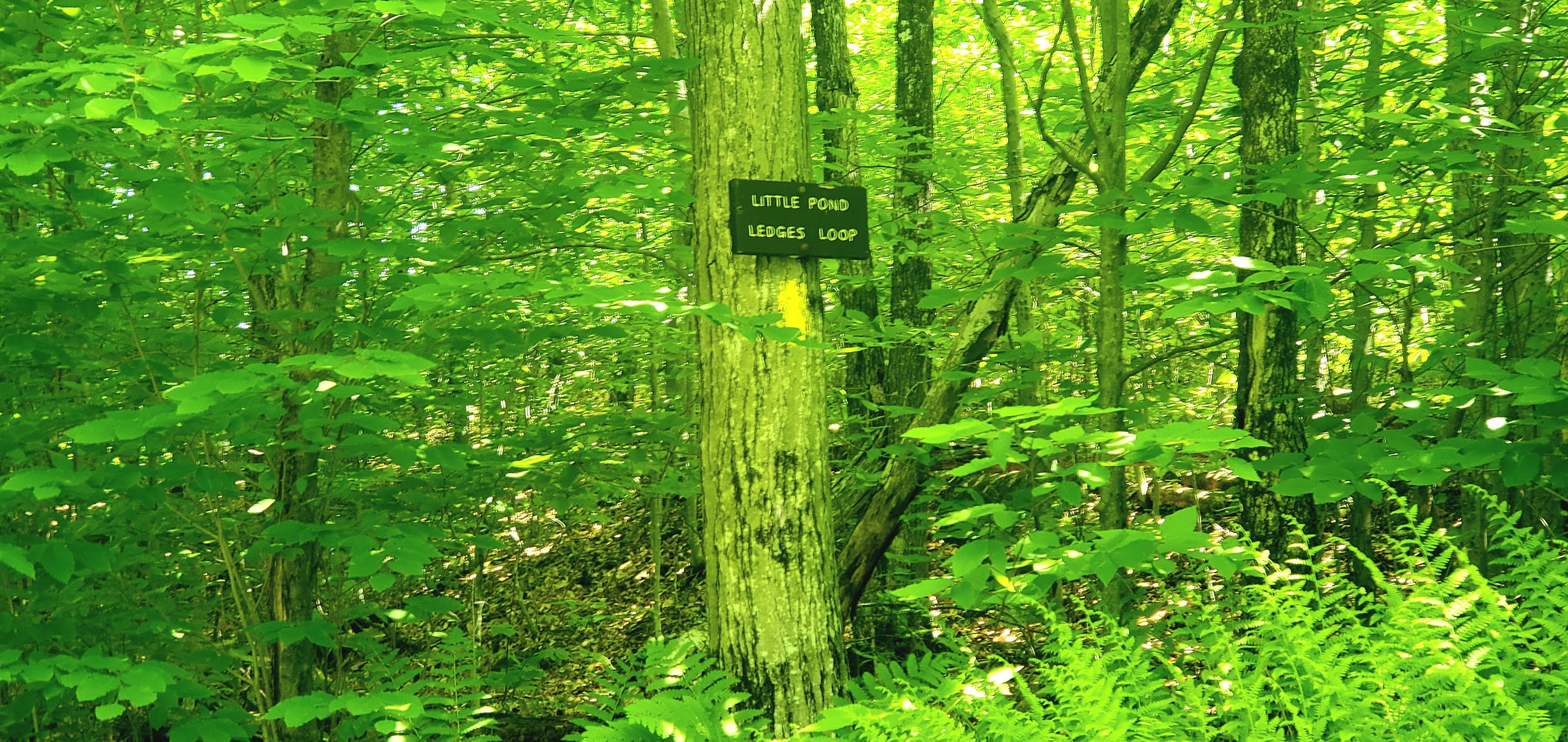
This weekend was a complete 180 from last weekend as far as temperatures are concerned. Hot and humid. I knew the more popular trails would be packed after last weekend's weather, so I tried to pick somewhere that would be quieter. I felt confident that the Cockermouth Forest trails would be.. and they were! In fact, I saw no one the entire hike. Cockermouth Forest is in Groton and Hebron and there is a very small parking area a short distance down a rough road off N Groton Road. I had seen a few people's trip reports, but most of those recently seemed to be in Winter or shortly after, so I was surprised to see the trail initially quite overgrown.. meaning the trail itself was well established and clear, but it was an old woods road and the grass was ankle to knee deep at times. We had some rain during the week earlier, but I hadn't expected the trail to be so wet! Thankfully with it being such a hot day, the cold, wet feet I pretty much instantly had was OK.. I just wasn't mentally ready for it! Along with that moisture were mosquitoes. It felt like all the mosquitoes. I ended up dousing in bug spray 3 times and thankfully didn't end up with too many bites, but they were sure annoying. I started up Romley-Remick Road and decided to turn right on Old N Groton Rd and do the 2 peaks first, which turned out to be the right decision today as I was able to bail on the last 2.5 miles I had planned due to the wet/buggy yuck! Once on Old N Groton Rd, the trail dried a little, but unfortunately the bugs did linger. I also encountered lots of cobwebs, I must have been the first out in a little while! The trail climbed moderately following an old stone wall for much of the way. I reached an intersection with a sign pointing left towards Bald Knob, so left I went. I encountered another intersection with another left towards Bald Knob and the climb began to get a little steeper. A breeze crept up about this time, which was definitely welcomed. After about a half mile of rather steep climbing, I reached Bald Knob. Restricted views over Newfound Lake and unrestricted views straight across to Tenney Mountain and the wind farms of the area. Beyond that were all the lovely peaks, though mostly hidden in haze today. A herd path led over to another viewpoint towards Cardigan Mountain. I could just see the firetower on the summit. The trail between Bald Knob and Mt Crosby was a diverse variety of woods, ups and downs and alpine type open rock ledge. While short, at roughly 0.3 miles, it packed a lot of punch and was my favourite part of the hike. In the col between the 2 an old trail comes up that was once maintained by Camp Mowgli in the area and the old trail signs are still hung. Different and super cute! The summit of Mt Crosby offered more of the same as Bald Knob though a little further north views. Despite the relentless bugs, I really enjoyed the area and could have stopped for quite a while enjoying it all. I was on a somewhat time crunch though with a road trip to CT this afternoon for my son's lacrosse, so I didn't linger. I went down Beeline Trail which I had read was a steep, short section. It was, but nowhere near as bad as I had thought, I actually enjoyed it! Good footing and plenty of hand holds in the steeper parts. The only confusing part of the day was at the bottom of Beeline, High Pasture Trail passes by and I initially started in the wrong direction, before turning around and going the right way. There is a sign in the direction heading back to Bald Knob, but not in the opposite direction, so I thought that was a rogue trail. Turns out it wasn't, they could use another sign there too. High Pasture Loop from here was an easy walk back to Eliza Remick Road and the wet, overgrown grass again. I had initially planned on heading out to Little Pond and the Ledges Loop trail, but a few hundred feet down the trail I realized I just wasn't in the mood for that long grass, so I turned around and headed back to the car. Overall, it's a nice area. Not my favourite, though I did really like the summits, just not the to and from. I'll have to come back if I plan on completing redlining, but I'll probably plan to do that late Winter or Fall when the grass isn't quite so long!
Strava Activity
 |
| Sign at the turnoff to the parking area |
 |
| parking to left of this gate |
 |
| A little ways past the gate |
 |
| first intersection |
 |
| all the wet brings these guys out |
 |
| Bald Knob summit |
 |
| Tenney Mountain from Bald Knob |
 |
| Mt Crosby from Bald Knob |
 |
| new gaiters to try and keep the pesky pine needles out |
 |
| Cardigan Mountain from Bald Knob |
 |
| some of the cool features between Bald Knob and Mt Crosby |
 |
| old signs still on the trail |
 |
| all sorts of terrain |
 |
| some big boulders alongside the trail |
 |
| viewpoint just before Mt Crosby summit |
 |
| Tenney Mountain from Mt Crosby |
 |
| Mt Crosby summit |
 |
| Romley-Remick Rd Trail was a little overgrown |