The Monadnock-Sunapee Greenway is a roughly 50 mile trail stretching from the summit of Mt Sunapee to the summit of Mt Monadnock. I'm tackling this trail in small bits and pieces, although many do make it a multi-day thru hike. This was my 5th hike on the MSG and my adoration of the trail continues. It is impeccably maintained (in fact on my hike today, I passed a trail adopter making sure his section was clear) and very well marked. Today I started at Brown Road in Harrisville, where there was space for a few cars where the trail turned off the road and headed into the woods. Just as I was feeling a bit remote, a young family passed by that must live locally and were out for a stroll. That made me feel a bit better and I geared up and headed out. I was doing a 4 mile out and back section, with nothing really scenic along the way, just a pleasant walk in the woods. Within a half mile or so of starting I reached an area called Eliza Adams Gorge. There was some construction equipment parked and it looks like they must be doing some repair work on the Howe Reservoir Dam which is adjacent. Unfortunately at this time, the reservoir is practically dry and there was barely a trickle coming over the dam, thus the "Gorge" wasn't the spectacular sight I have seen in pictures on Google. Continuing on, I soon reached the Spiltoir Shelter. Amazingly, there was a large stockpile of water bottles, which the trail adopter I later passed said had been donated by the Monadnock-Sunapee Greenway Trail Club due to the drought conditions right now and lack of water supply. Continuing on, the trail was a rolling up and down, but nothing too strenuous. The highlight was a town line sign for the Harrisville/Dublin town line! At about 1.5 miles from where I started, I crossed over Rt 101, which thankfully on my way out was relatively quiet so I didn't have to wait too long to cross. On my way back it was a bit busier, but I made sure to wait till it was completely clear before attempting to cross. On the other side was a pull off with room for parking if needed and a gate. A lot of this section was old road, so wide with relatively good footing. Somewhere around a mile from Rt 101, the trail actually veered off the old road and became an actual trail, descending down until it met with Old Marlborough Road in Dublin. Turning right here, it was roughly a 0.5 mile road walk (dirt road) before heading back into the woods and the final (for me) 1.1 miles to the Dublin Trailhead for Mt Monadnock. Once I reached that point, I turned around and retraced my steps to the car. Highlight of the return trip was passing 4 horses and their humans on the trail. I love seeing horses on the trail, they are so beautiful.. but I don't love what they leave behind, always right in the middle of the trail meaning I have to pay extra attention to where I'm stepping! Just as I arrived back at my car, a lady riding an E-Bike mountain bike headed into the woods.. just going to show this trail is a great resource for all sorts of activity!
Strava Activity
 |
| sign on a tree where I parked off Brown Road |
 |
| crossing Eliza Adams Gorge |
 |
| Howe Reservoir Dam |
 |
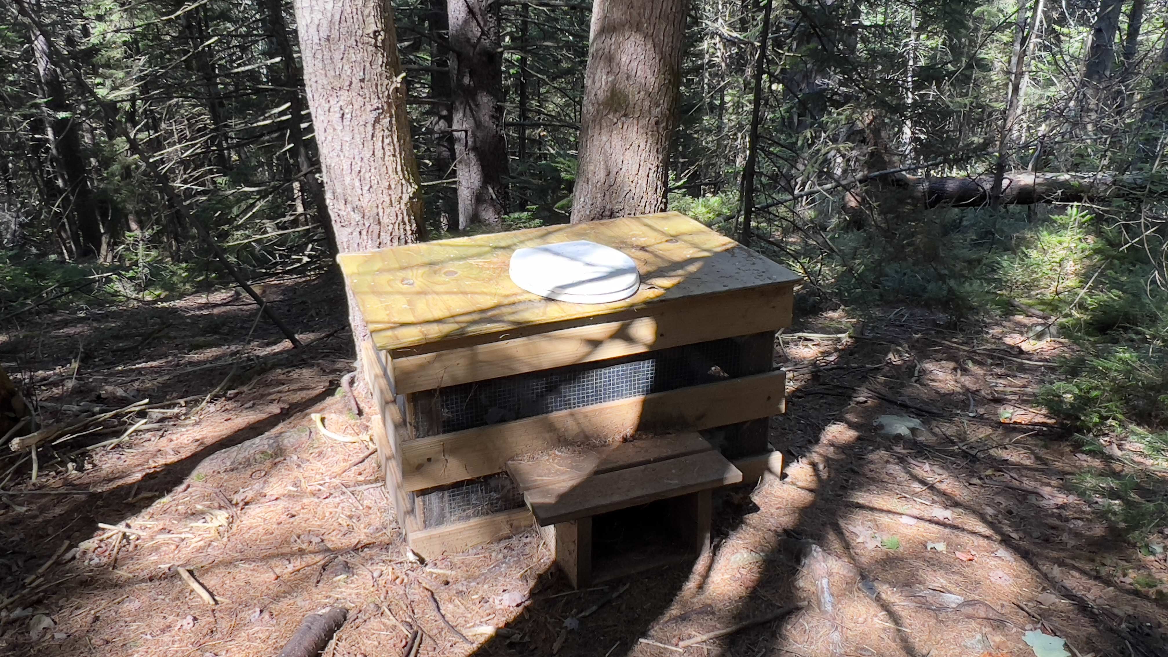
| Spiltoir Shelter |
 |
| town line sign |
 |
| crossing Rt 101 |
 |
| entering the trail at Rt 101 |
 |
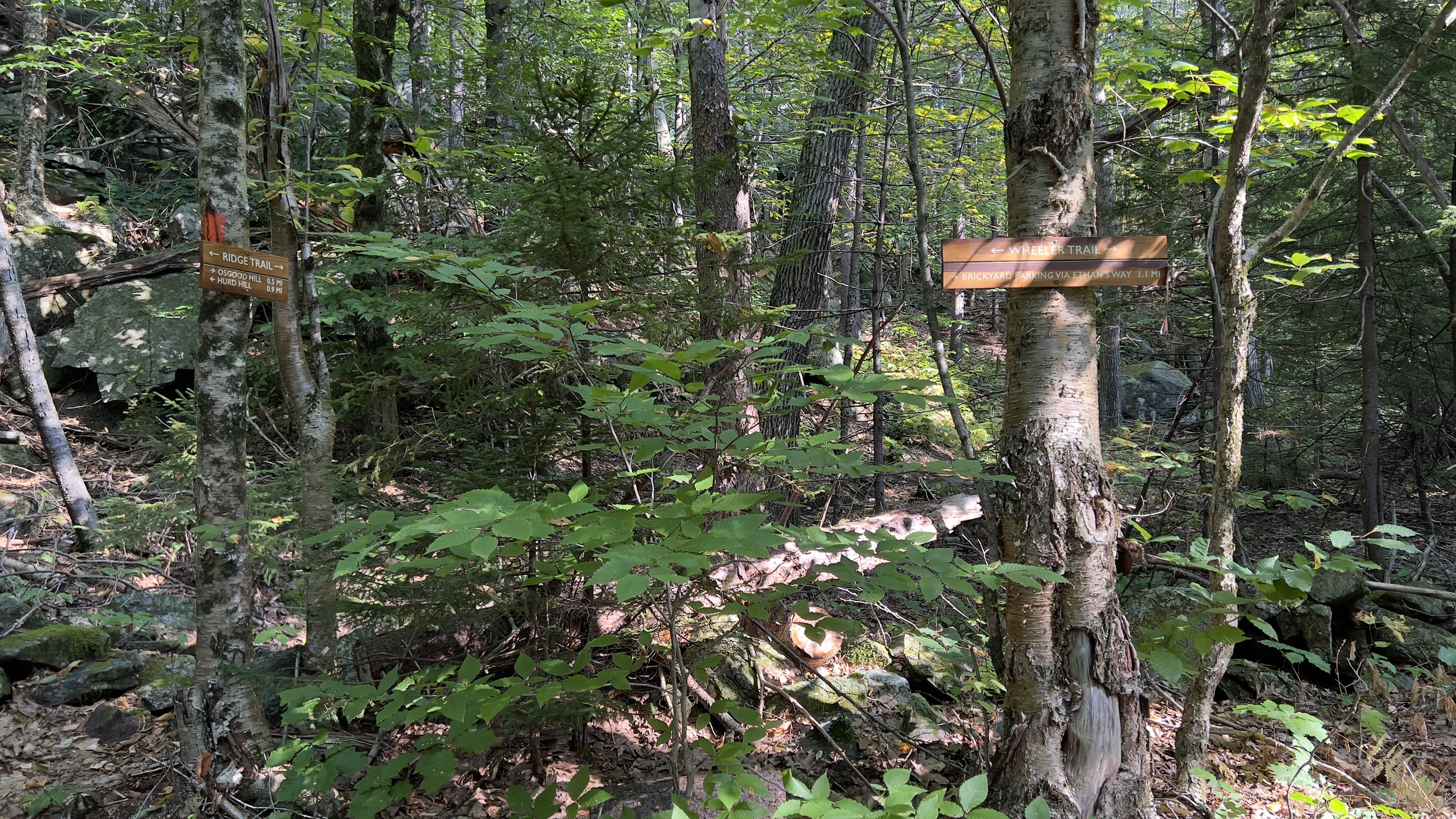
| where the trail turns off the old road onto actual trail |
 |
| Old Marlborough Road walk |
 |
| re-entering the woods off Old Marlborough Road |
 |
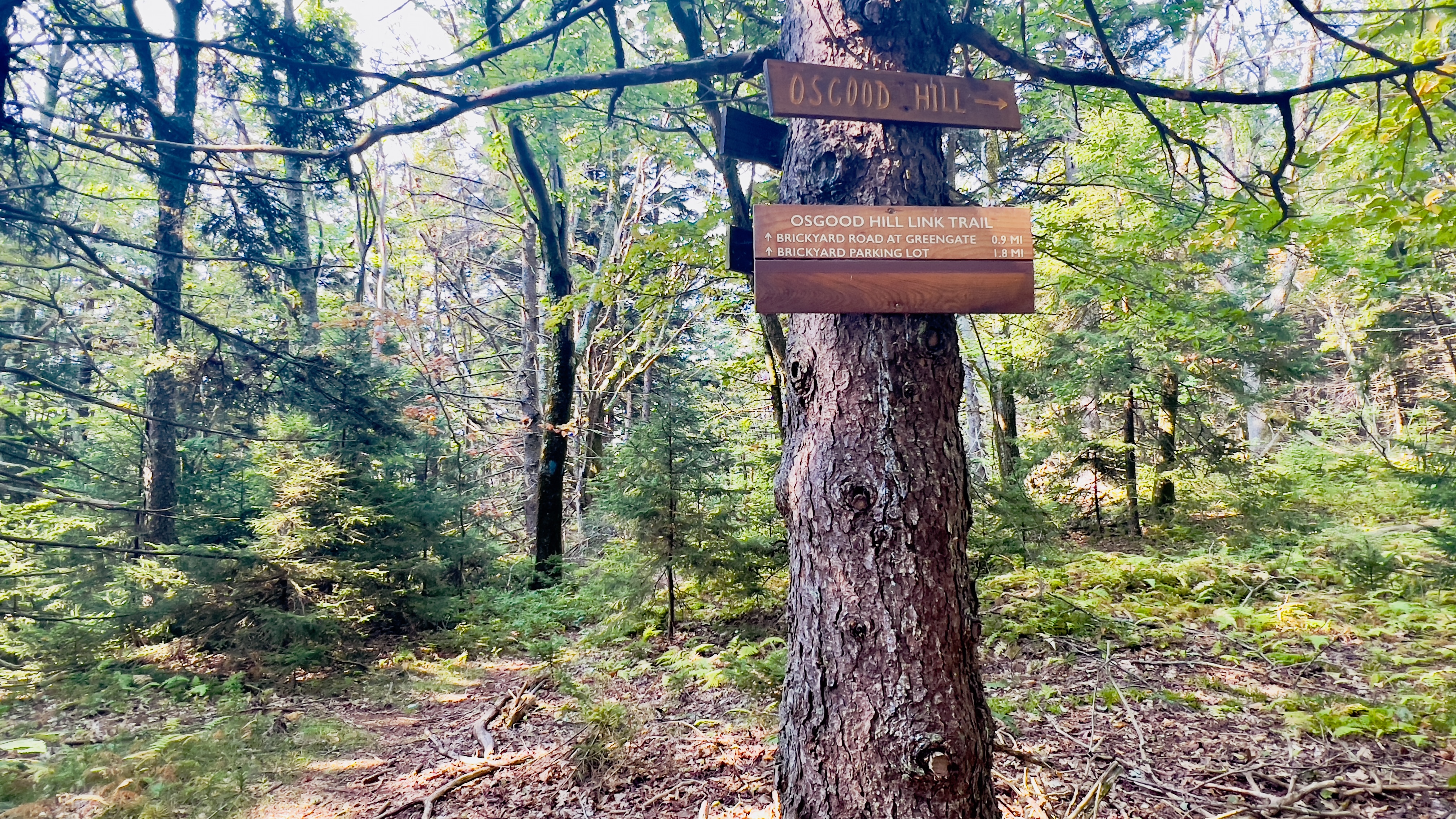
| Dublin trailhead |
 |
| hiker register near Dublin Trailhead |
 |
| entering trail heading north from Rt 101 |


.jpg)


.jpg)