Our original plans changed today due to rain forecast down in the Boston area. It looked like it would stay fine in NH, so I decided I wanted views and foliage. My choice of completing the Bald Knob Trail paid off. A real hidden gem. Having been to Bald Knob in the Cockermouth Forest from the Old North Groton Road trail before, I wanted to finish Bald Knob Trail from the Hebron Town Forest entrance. It was a perfect Fall day. Crisp temperatures, but not too cold with clear skies. From the parking area, head across the bridge and past the kiosk for the Cockermouth Ledge Trail. This section is a snowmobile trail, so wide and easy footing. I was surprised that not long after this the trail opened up into a wide open field. It was very pretty with the foliage starting to pop through. It looked like there might be tall grasses or corn or something at some points of the year, but that was all gone today. The trail skirts the edge of the field before re-entering the woods. The snowmobile trail turned off shortly after this, and while the hiking trail narrowed a little, the footing remained easy. About 1 miles from the parking lot, the Spectacle Pond spur headed straight, while Bald Knob Trail veered off to the right. The trail is blazed orange and there was a sign and map. The trail really had great footing the entire way, which was amazing. Well maintained and well marked, it was easy to follow. The climbing started here, but was gentle at first, gradually becoming more moderate with some steeper pitches and switchbacks at times. With the leaves falling, there were peakaboo views down to Spectacle Pond and over to the surrounding peaks for much of the way, which was so pretty. A short ways after the Spectacle Pond spur, a yellow blazed trail headed off to the left, but there was no indication of where that went, and it's not on any maps yet, so I did not explore. Just under another mile from the Spectacle Pond spur was another yellow blazed trail. This one had a sign reading "To Hardy Rd".. which had me looking at the map and changing my plans for my return, erasing a double up of a previously hiked section. Although this connector is not on any maps that I saw, Hardy Rd was, so I could see where the trail would originate. I continued on Bald Knob Trail which continued to climb. At one point, you came out on some open ledges with beautiful views across to Cardigan Mountain, clearly seeing the firetower on top! The trail became a little more technical as it ascended with some steeper pitches. About 3 miles from the parking area as the trail veered left, I noticed to the right through a thin line of trees what looked like a really gorgeous open view, then I noticed a herd path through the short grass, so I went over and it was spectacular. A couple tenths after this, the trail met up the branch of Bald Knob Trail that starts at Old North Groton Road. From here it is roughly 0.4 miles to the summit of Bald Knob. This is a mean little steep pitch! Nothing crazy as far as technical stuff, just steep! The summit has expansive views over to Tenney Mountain and the windmills on its peak as well as restricted views towards Newfound Lake. If you go past the summit just a few feet, look for a herd path to the left. This leads to wide open ledges with gorgeous views across to Cardigan Mountain and surrounds. I hadn't seen this path the last time I was up so was really pleasantly surprised at how open and spectacular the views really were. From here the trail drops in a short, steep descent alongside some "hairy" (ferns) huge boulders to the intersection with a yellow blazed connector trail to High Pasture Loop, an old (I'm not sure if it's actually maintained) trail that the map says heads to Tenney Lane, and the trail heading up to the Mt Crosby summit. Having been to Mt Crosby on my last visit, I took the yellow blazed trail to High Pasture Loop. In areas this was a great, easy path.. in others it was rather rustic and harder to follow (well blazed though, so no issues). It felt much longer than the 0.3 miles it is. The next intersection is with High Pasture Loop and Beeline Trail coming down from Mt Crosby. I took a left onto High Pasture Loop, which was an easy gradual descent on an old road back to Bald Knob Trail. Again like the yellow blazed trail, at times it was great and clear and other times it was overgrown, although never difficult to follow. Once back on Bald Knob Trail (the branch from Old North Groton Road), I took a right and headed down to the intersection of Old North Groton Road and what the map called Rogers Road. I took the left onto Rogers Road, this section is an old wide road, rough in places and not blazed, but very easy to follow. This was about 0.5 miles long and came to an old green gate with a Cockermouth Forest sign and a sign pointing left saying "To Hardy Rd" Yellow blazes started here and this climbed gently up to Hardy Road. This was the other end of the connector I had passed on my way up. This section was the only section I was flying by the seat of my pants, since it wasn't marked on any maps I had. Turns out it was roughly a mile long, it followed the Cockermouth Forest boundary for most of it, with a gentle to moderate ascent some of the way, before crossing the boundary stone wall and making its way back to Bald Knob Trail about 2 miles from the parking area. I retraced my steps here and finally saw my first person of the day! Back at the Spectacle Pond spur, I went the 0.1 miles. At the fork with snowmobile signage, stay right away from the private residence and descend down the pond and a bench. There was a sign stating there was a trail around pond with white blazes, but it now showing any maps, I didn't explore since I wasn't sure how long it was or where it went. After some quick photos I backtracked back to the car. 8.4 miles and 1 person! Perfect day!
Strava Activity
 |
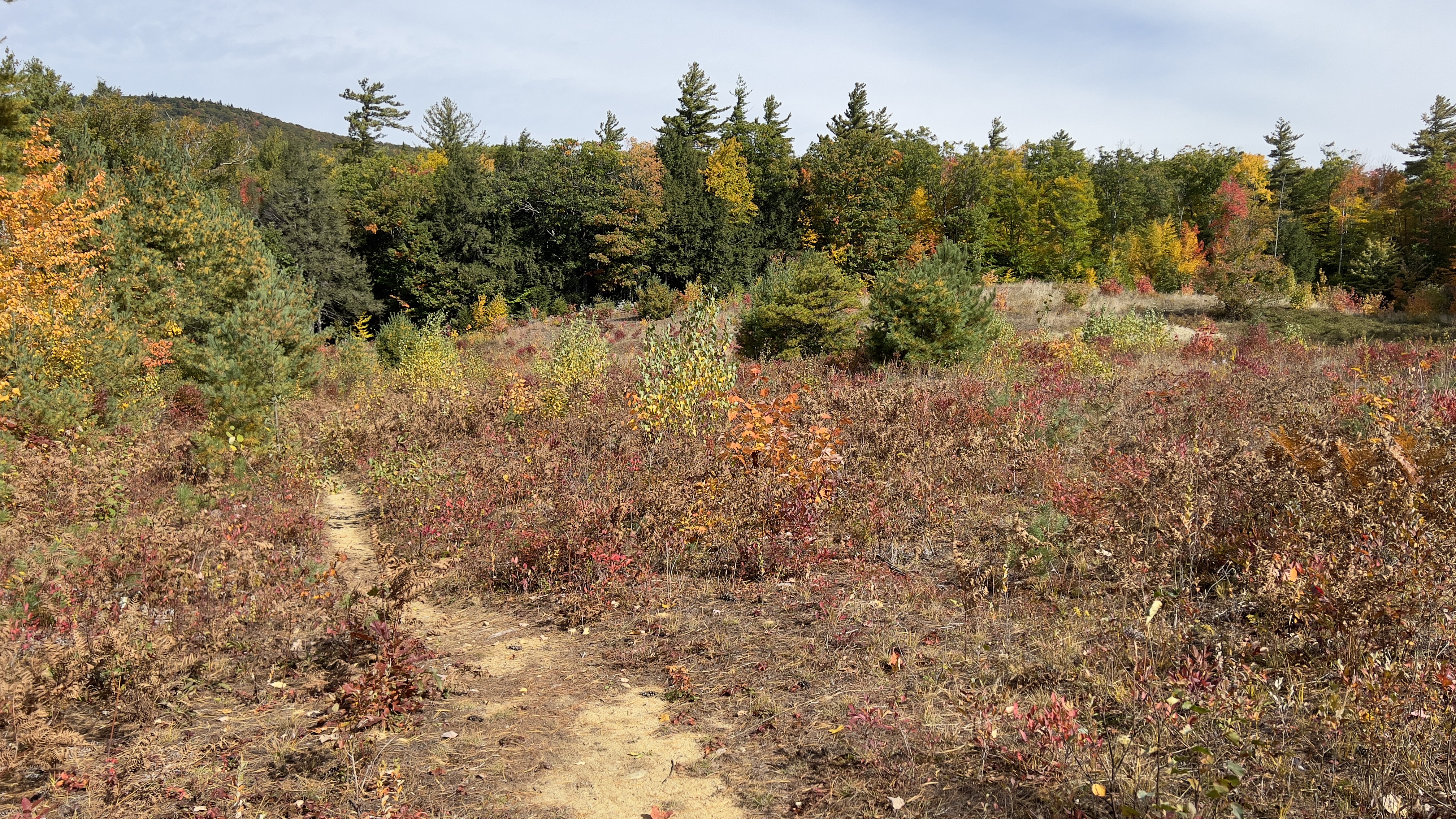
| variety of terrain |
 |
| first real views |
 |
| zoomed in on Cardigan |
 |
| viewpoint just off trail |
 |
| views from Bald Knob summit |
 |
| views from summit off herd path behind summit |
 |
| High Pasture Loop off Bald Knob Trail |