Sunday, December 18, 2022

Langenau Forest Trails - New London Conservation Commission

 We had our first big snowstorm of the season this weekend. Many areas saw well over a foot of snow. I knew I'd have to snowshoe, my desire was to find as little as possible, so I wasn't potentially breaking trail in the deep stuff. I did the complete opposite. I headed to Wilmot and the Langenau Forest trails on the New London Conservation Commission trail list. Granite Hill Road was a steep up, but thankfully well plowed and maintained. The trailhead is at the very end of the road, and I found the road was not plowed down to the actual parking area. However, there was a plowed spot for 3 cars opposite the last driveway with a truck already parked, so I assumed it was "Winter parking" for the Langenau Forest and parked myself there also. It was a mild day as far as temps were concerned thankfully, with temps in the 30s and little to no wind. I geared up and headed down the road towards to trailhead. I was grateful for the one set of tracks already broken out, but it was still really tough going. The snow was heavy and wet and made each step a slog. I was honestly ready to turn around after about a tenth of a mile! My initial plan of roughly 6 miles and 4 trails was instantly reduced to 2 trails, and I wasn't sure on the mileage, guessed it was roughly 3. I was now going to do a lollipop. At the beginning of the trail is a beaver pond that was iced over and the sun through the clouds made everything look magical.  I had planned on heading up Langenau Forest Trail to Pleasant Lake High Trail and back on Langenau Brook Trail, but when I got to the split, there was a sign that said "Trail" pointing left and that's the way the broken out tracks went. According to my digital download, Langenau Forest Trail went right here, but I thought maybe it was a little further down, so I continued following the tracks. I realized this was in fact Langenau Brook Trail, which was fine, I kept on going and said a silent prayer that the person ahead of me was doing the same loop I had intended! It was very beautiful, but very tough going. I reached the intersection with Pleasant Lake High Trail, which would be a right turn for the loop, or a left turn for my original plan of 6 miles. Wouldn't you know it, the person ahead went left. I knew I could not possibly do that distance, so I reluctantly turned right and started breaking trail myself. It was more uphill than I had thought (and my original plan would have been coming down instead of going up). There were some pretty views through the trees over Pleasant Lake and even a peakaboo view of Mt Sunapee in the distance. A couple tenths in, I was surprised to see someone coming in the opposite direction and was excited at the prospect of a broken trail the remainder of the way... however as I got closer, I realized he was not wearing snowshoes, just bare boots, so while the trail was broken, his tracks weren't overly helpful in the trail breaking department, but were helpful for wayfinding. The trail is blazed with painted blazes on the trees, and some were very faded or covered in snow.. so I was able to at least follow his tracks and not have to spend excess time looking for the blazes. The rest of the way was just through beautiful snow covered trees. The trail descended to join Webb Forest Trail for a few hundred yards before Langenau Forest Trail branched off. This climbed back up, it felt so much more than my Suunto recorded, I felt like I was climbing Mt Everest! Langenau Forest Trail had a lot more storm debris, trees down and low hanging branches from the heavy snow, particularly near the intersection with Langenau Brook Trail, where I had started.. in fact my snowshoe came off as the snow was so heavy! I started to walk on with just 1 snowshoe, knowing I was near the end.. but it was too difficult, so I put it back on for the last couple tenths before arriving back at the car. It was a very beautiful hike thanks to the Winter Wonderland.. but I was very glad to be done! Only 2.65 miles, that took me almost 3.5 hours!

Strava Activity

end of Winter road maintenance

actual trailhead


peakaboo Sunapee, I see you

so beautiful


intersection of Pleasant Lake High and Webb Forest Trails

intersection of Webb Forest and Langenau Forest Trails


So.Much.Snow


near the Langenau Forest and Langenau Brook intersection

beaver pond near trailhead


Saturday, December 10, 2022

Crotched Mountain - Dutton Brook & Gregg Trail

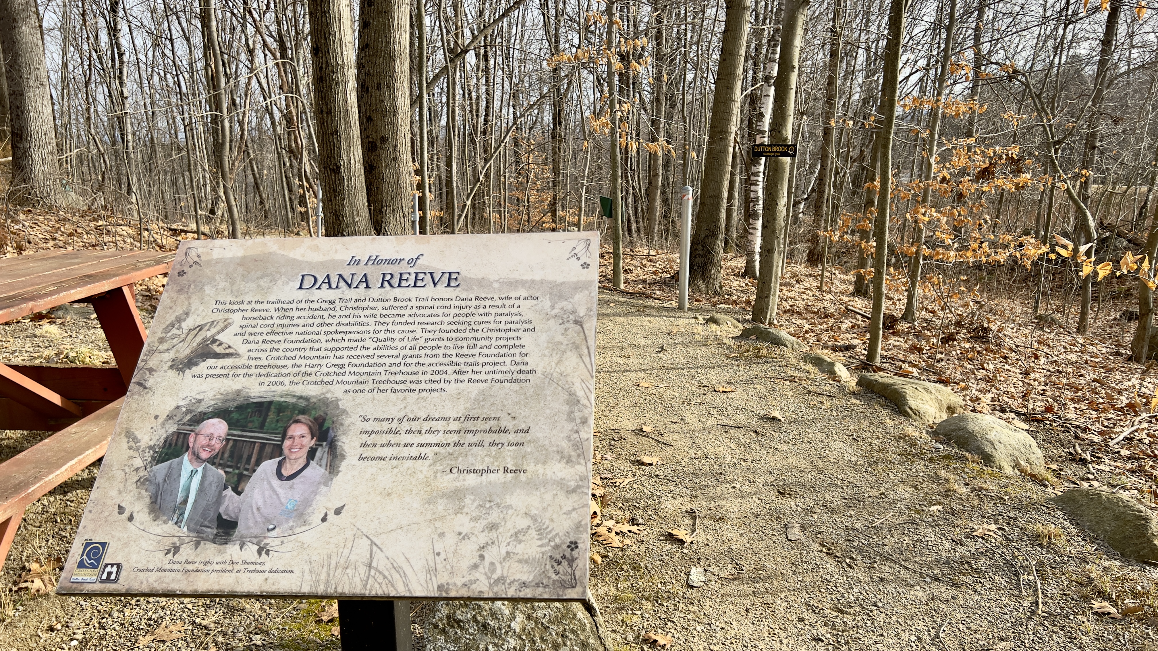
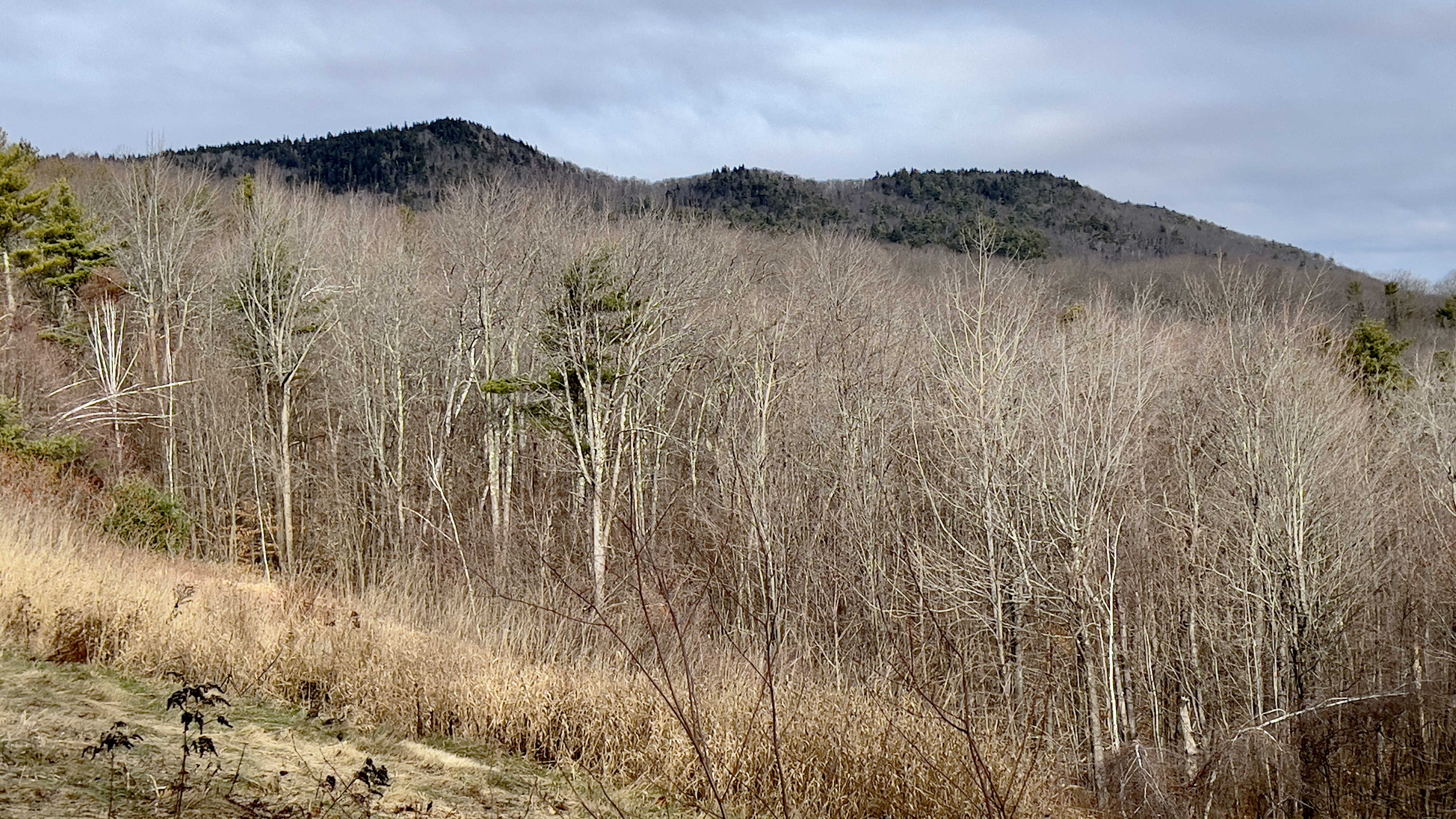
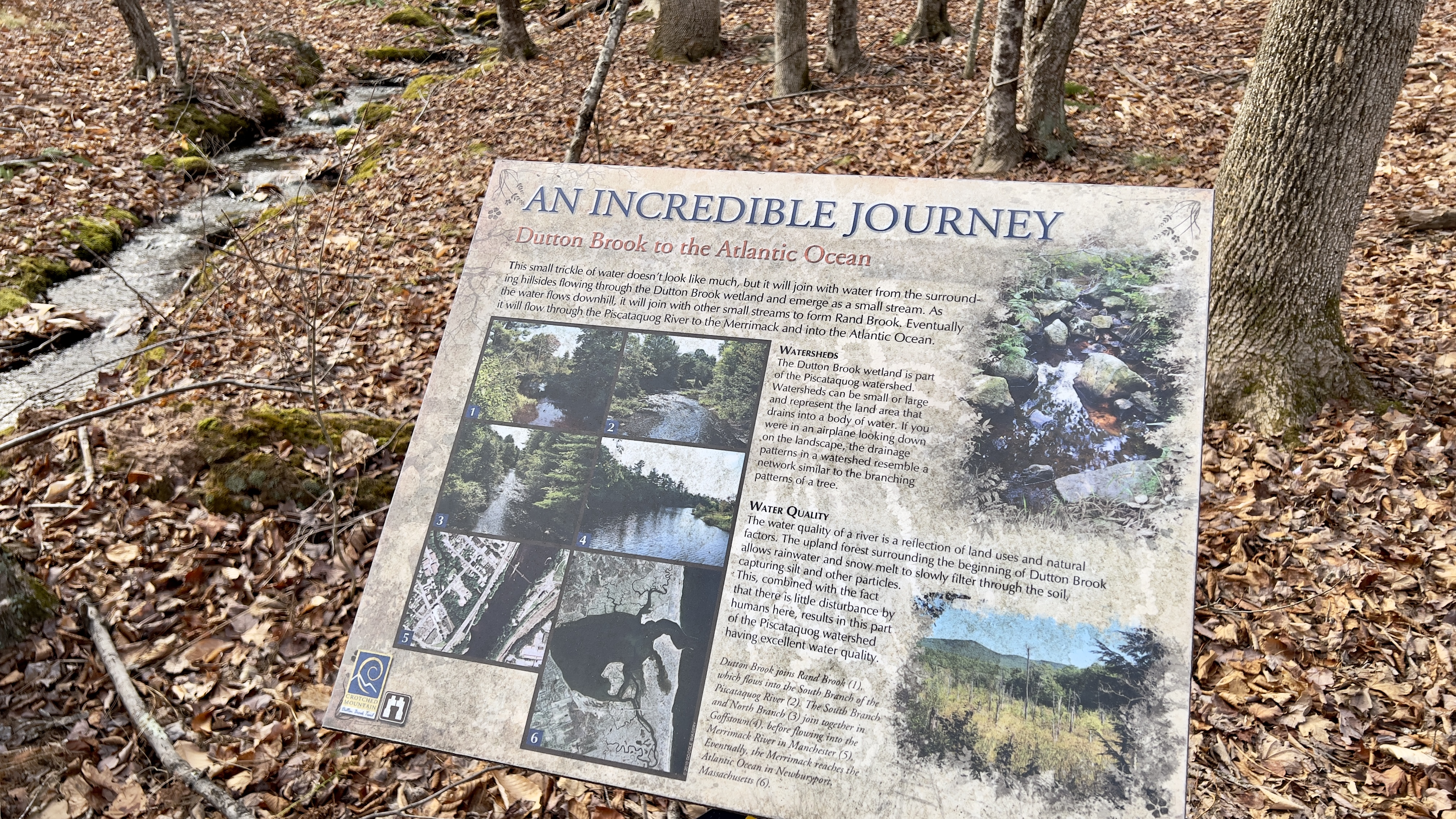
 I headed over to the Crotched Mountain area after my hike in Antrim, just a 25 minute drive and parked at the parking area for the ADA Accessible Trails. There were a few cars there, with a large group just finishing up. My plan was to check out Dutton Brook and Gregg Trails, the 2 handicap accessible trails in this network. They both start at a picnic area next to the parking with signs explaining the trails, as both have information plaques along the way for points of interest. I chose Dutton Trail first, which is the longer of the 2, it is a lollipop loop. It descends gradually at first, but I kept thinking, if you were pushing a wheelchair, it would be a decent form of exertion on the return! The trail is a combination of graded gravel and raised wooden walkways. I found the graded gravel at this time of year was a bit soft, and I was "post holing" a little bit, so I tried to stay as far to the sides as possible, which seemed a bit firmer. I didn't stop to read all the points of interest, but it was good they are there! The one plaque I did read which I found interesting was as the trail crossed Dutton Brook itself, which is a small little trickle.. it talked about how it eventually joined larger streams and rivers and made its way to the ocean! The lollipop of Dutton Brook Trail was just over 2.5 miles total. Back at the picnic area, I started on Gregg Trail. Immediately you come out in an open area with expansive views across to the Uncananoonucs and Joe English Hill. Gregg Trail was all graded dirt, rather than gravel and wooden walkways. A good steady little descent that switchbacked up the slope to an observation platform. On one of the switchbacks I saw another trail paralleling for a moment. During the couple times I have been in this area before, I've noticed several old roads and unmarked trails, so I figured that was what this was, but then saw a sign where it joined with Shannon Trail and figured I'd check it on my descent, so I stayed on Gregg Trail up to the platform. The view here is lovely across to Monadnock, Skatutakee & Thumb, also Bald Mountain where I was earlier in the day. I started down Shannon Trail and quickly arrived at the sign I had seen earlier, and was surprised that it read Summit Trail. There are an East and West Summit Trail on the other side of this network, but I had never seen it come over this far on any maps. I could see on my digital map that it joined up with Shannon Trail above the observation platform and was only about 0.2 miles in length, so I figured I'd grab it just in case it ever formally appears on a map. That way I won't have to come back for that short piece. Back on Shannon Trail, I followed it back down to the car. All told about 3.5 miles on both trails. 

Strava Activity


first point of interest is this lovely view of Crotched Mt


combination of raised walkways like this

and graded walkways like this


really well maintained trails

with several resting options along the way


not marked on any maps, but I walked it anyway just in case


Mill Pond and Goodhue Hill

 Continuing my quest for shorter hikes while I recuperate, I headed back over to the dePierrefeu-Willard Pond area in Antrim. Laura, Vanessa and I did the Bald Mountain side a couple of years ago, I needed to complete the 2 trails on the other side of the road. Mill Pond Trail and Goodhue Hill Trail. I parked in the parking area and walked a few yards down to the northern end of Mill Pond Trail. Marked with a sign and yellow blaze, I headed in and was immediately met with some debris. I hoped the entire hike wasn't going to be like this.. thankfully, it was not. While leaves obscured the path in a few places, it was beyond well marked and easy to follow. A short ways in, I encountered an interesting water crossing. There was a bridge, but it started halfway across. There were some large rocks to hop over, but they were a little icy, so I had to be careful. I wondered if the water was just especially high, or if it's always like this. The trail skirts around Hatch Mill Pond and in about 0.3 miles meets up with Goodhue Hill Trail, marked with a sign and red blazes. I took the left onto Goodhue Hill Trail. Not far in, the trail starts to climb. Another well marked trail, which was appreciated when the leaf cover was heavy, there were also a couple of small blowdowns, but nothing causing problems. The trail climbs for a little over half a mile before easing off. Just below the summit, the area opens up into a clearing where there was quite a bit of evidence of moose activity. No sightings today. The trail continues through some tall grasses before heading back into the woods and up to a bench with a great view. I could see on the map, the true summit wasn't too far, so started to head into the woods to see if it was marked when I noticed an obvious path and tree with pink flagging not too far in. I figured that was the summit, so headed up and was surprised to see a tree with a handle in it also! Retracing my steps down Goodhue Hill Trail, at the bottom I took the left onto Mill Pond Trail to continue to loop. I could hear water ahead and was surprised by another water crossing. This time over a beaver dam and small waterfall, thankfully with a bridge. The other side traversed the top of a mossy covered stone wall with rope, which I didn't use, but gave me a sense of security! A large blowdown was on the other side of the stone wall, which I carefully climbed over and popped out on the road, alongside a private garage and just a short ways down from the parking area. Walking back to the car, I noticed a large glacial erratic with a memorial to the woman who preserved the area and silently thanked her. Both of my visits here have been without expectation and I ended up pleasantly surprised at how delightful they were!

Strava Activity

heading to trailhead from parking

trail off the road

thanks for the warning!

interesting water crossing


true summit with handle marking the spot!

this just seemed very Christmassy!

another interesting water crossing

Bald Mountain and the view ledges

looking back from the other side


southern end of Mill Pond Trail


Sunday, December 4, 2022

Back to Birch Ridge

  I was eager to finish Birch Ridge Community Forest before the snow flies.. this would complete my Lakes Region tab on my redlining spreadsheet for the AMC South Trail Guide. I went back to the parking area on Birch Hill Road in New Durham, but this time started across the street, just a very short distance down from the parking entrance. There are some very large boulders that mark the entrance, and if you look carefully a little blue blaze high up on a tree. While I knew the general direction I needed to be heading, this area was a little hard to follow. I started out just a little off track before seeing some blue markers in the trees. You're not going to get lost here as it's all open, but I was trying to be a purist and stay exactly on the trail. Turns out I missed a tiny cairn on my left and a small yellow sign on a tree indicating SELT land, which marks where the trail heads up. From here, the trail crosses the side of the slope, sometimes with an obvious path, sometimes not.. I knew what I was looking for having come out this way last time, and saw the cairn and 2 blazes on the tree indicating Fall Line Trail. A nice steep, yet short climb. Still very leafy, and I was on high alert for any animal life after seeing the bear on my last hike! Just below the top of the trail, I reached the tree with double orange flagging on my left and headed down this new trail, hoping it would rejoin Birch Ridge Trail where I had seen the fork previously. According to the updated map on the SELT website, this is a trail where MTB can cut across. It was flagged with orange tape and easy to follow. I reached the fork and took a right heading back up to the Birch Ridge summit. I continued straight this time to complete Birch Ridge Trail. The trail descended on a wide path before joining South Ridge Trail (called Durgin Road on some maps). I took a left here and descended some more to join Corridor 22 on the snowmobile network. This area was a little less maintained, with some low hanging branches and blowdowns, but nothing to cause any issues. I took a right on Corridor 22 and started a roughly 0.9 rollercoaster of ups and downs. A straightforward snowmobile trail, it was wide and uneventful. I reached a fork where the snowmobile trail veered left, marked with an orange arrow. A trail headed straight through a couple rocks, this connected to Brienne Road, which is gated, and I had wondered if there was room to park here. I took the left and descended down to the gate and was surprised to see a man here, and could see a truck just in from the gate. He wasn't dressed in hiking or hunting gear, so I'm not sure what he was doing. He unnerved me, so I made quick haste continuing on my way along Corridor 22. He didn't look scary or anything, I was just taken aback at someone being out here without seeming to fit the narrative of someone who would be out here if that makes sense! He made no contact with me, and I didn't see him again after that. The trail continued to descend and reached a kiosk at the bottom marking a junction with a sharp left turn for Corridor 22 or continuing on what is marked as Mountain Pasture Road. I took the left turn and was met with straight up! Not technical, since it was still a snowmobile trail, it was definitely up. I climbed for about 0.5 miles and met the intersection marked as Lookout Trail on the SELT map. The sign at the intersection just says "scenic lookout". I headed down and was surprised to come up on the scenic view quicker than I had expected. The trail continued on my digital download, so I kept going wondering if there was another more formal lookout further down. The trail descended and eventually became rather grown in. Pink flagging continued, and it was marked on my digital map as going on, so I did just that.. it became more grown in, and I could tell there wasn't going to be another lookout, so once I reached the end of the digital trail, and what seemed like the last pink flag, I turned back around and retraced my steps. This time I stopped at the lookout and had a quick break. I think I was looking over towards my own neighborhood and Blue Job Mountain (as I could see a tower), but I'm never any good at identifying what I'm looking at. Once rested, I retraced my steps back to South Ridge Trail. Took the left and returned back to my car. 

Strava Activity

entrance off Birch Hill Road

double flagged tree marking new cut off trail

Birch Ridge summit

left onto South Ridge Trail

right onto Corridor 22

at the V turn on Corridor 22


as far as I went on Lookout Trail

the "lookout" on Lookout Trail

South Ridge Trail from Corridor 22

this is what I missed heading up to start South Ridge Trail from the entrance at the road