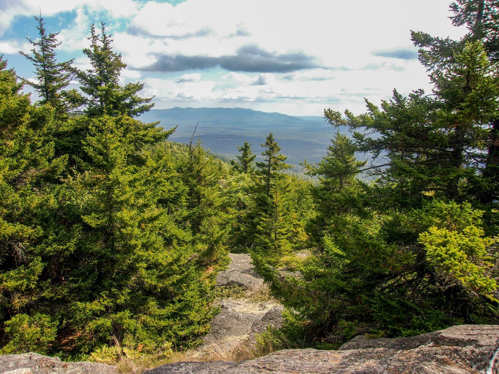
All Summer I've been talking about wanting to do a sunset hike. Today while my husband and eldest were at football practice, the youngest and I finally checked that bucket list item off my list. We just hiked to Little Blue Job, which is a nice and easy 0.8 or so miles. Ease into the night hiking with an easy one. We had headlamps and flashlights, which was all the motivation Cameron needed to go! We were rewarded with a beautiful sky. Highly recommend.
Friday, September 25, 2015
Thursday, September 24, 2015
Doublehead and Squam (Maybe)
I've seen conflicting reports about where the true summit of Mt Squam is, so I'm not sure if I can call that one done, if not, I got close! I started at the trailhead on Holderness Road, walked down Thompson Road which was easy going, then turned onto Doublehead Trail. It starts gradually and gets steeper. The views from the ledges about 0.2 miles below the summit were awesome! Crawford Ridgepole Trail between the 2 summits was a bit more technical with lots of ups and downs and a few rock scrambles. Just below what I believed to be the summit, if you veer off trail just slightly there are some great views behind you over towards the Whites. I retraced my steps back to Doublehead Trail from Squam and back to the car. I worked for that one, but the views were well worth it!
Thursday, September 10, 2015
Big Rock Cave
Today's adventure had me in Tamworth and exploring the Mt Mexico/Big Rock Cave area. I parked at the Cabin Trailhead on Rt 113A and started up Cabin Trail. The trail was damp/wet/muddy most of the way. A couple tenths down Cabin Trail, I turned onto Big Rock Cave Trail and followed that up and over Mt Mexico. The trail just skirts the true summit, which is wooded. Big Rock Cave was cool, though due to a phobia of dark spaces, I didn't explore in the cave itself, just looked a little bit around. I turned left onto Whitin Brook Trail. There is no signage at the intersection of Big Rock Cave Trail and Whitin Brook Trail. As soon as you cross the brook for the 1st time (coming from Big Rock Cave itself) there is a 4 way intersection with signs pointing out Mt Paugus and Big Rock Cave. The trail intersecting this is Whitin Brook Trail. Take a left to head back to Cabin Trail or take a right to head towards Bickford Trail. There were several blow downs on Whitin Brook Trail, which were easy enough to step over, 3 I had to duck under. There was a short steep climb just before the Cabin Trail intersection. I completed the loop returning on Cabin Trail. 1 huge blow down on Cabin Trail that I had to bushwhack around (easy enough). Lots of trails in this area to explore.
![]() |
| near the summit of Mt Mexico |
![]() |
| heading off Mt Mexico, my favorite kind of trail |
![]() |
| Big Rock Cave |
![]() |
| the biggest mushroom I've ever seen on Big Rock Cave Trail |
Tuesday, September 8, 2015
Parker Mountain
Back at my go to.. Parker Mountain. Today though, I explored the Boy Scout Trail that begins a tenth of a mile down the road from the main trail. It was definitely much less lightly traveled, but still easy to follow. I picked up Link Trail which turns off 0.6 miles in and climbs rather steeply up the side of Parker Mountain popping out on the main trail at some open ledges just under half a mile below the summit. I headed out to the view and back, returning to my car via Spencer Smith Trail (the main trail). This gives some nice loop options instead of always taking the same path!
Friday, September 4, 2015
Mt Osceola
Strava Activity
Monday, August 31, 2015
Saturday, August 22, 2015
Burke Mountain
Some members of acidotic RACING and I had the privilege thanks to one of our teammates of camping on his families property on the Kingdom Trails in Lyndonville, VT. The land we camp on is just near the Chapel of the Holy Family which is an unbelieve little chapel overlooking the beauty that is the Northeast Kingdom. One of my favorite places on Earth. Camping is not my thing, but being in this place is so very special to me. I had tried once before to hike Burke Mountain, but had not brought the correct footwear.. even though I had gone and purchased some cheap sneakers, I had trouble finding the trailhead, and once I did.. ventured a few hundred yards down before turning around. It hadn't felt right. Fast forward to now, and I'm back at Burke Mountain Resort again, ready to take on the mountain. The majority of trails at Burke Mountain are mountain biking trails (during the Summer) but there are some designated trails that allow hiking as well. I started on the Red Trail from the parking lot, which meanders through the woods for just under a mile before briefly merging with Kirby Connector (one of the MTB trails) and then turning left and heading up the mountain. The trails are steep, but are remarkably smooth (again thanks to doubling as MTB trails) and today was very humid, so I got sweaty quickly! At just over 1.5 miles from the car, the trail forks and I decided to take the right branch onto West Peak Trail and make a loop over the summit. The trail continued to climb but was still great footing. At about the 2.5 mile mark, West Peak Trail ended and Profile Trail continued on up and around the summit to the fire tower. This was really the only section that was somewhat more technical. Some peekaboo views started to open up. I climbed the fire tower and the views were 360 degrees and just incredible. You could see for miles. Into Canada, into New Hampshire and of course the gorgeous countryside of the Northeast Kingdom of Vermont. The views over to Willoughby Gap were the most impressive. The only downside is there is also a communications tower on the summit, so one side is marred with that structure.. but that doesn't detract from the beauty everywhere else! Back down the tower, I followed the path out to the road and the top of the toll road that you can pay to drive up and looked down the ski trails before re-entering the woods and picking up the Red Trail, which I followed all the way back down.
![]() |
| Starting out on Red Trail from the parking lot |
![]() |
| continuing on Red Trail off Kirby Connector |
![]() |
| one of the more technical sections |
![]() |
| Willoughby Gap |
![]() |
| heading back down |
![]() |
| top of the ski trails |
![]() |
| looking at Burke from our campsite |