Sunday, January 3, 2021

Neville Peak & Epsom Town Forest

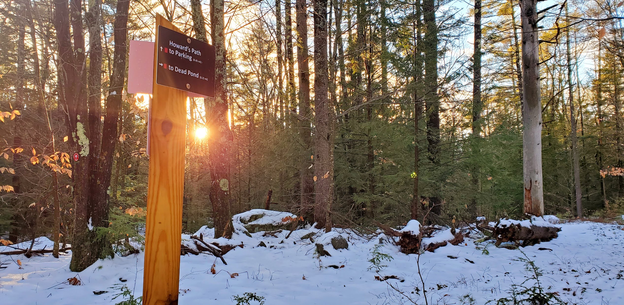
 Another grey and overcast day. Today I headed for Epsom Town Forest and Neville Peak. This has been on my radar for years as there is opportunity for a bushwhack to Nottingham Mountain, which is Deerfield/Rockingham County's highpoint. I had a vague notion of doing that bushwhack today, but ended up encountering more snow than I had thought would be there, and being alone, I didn't want to toy with deeper snow off trail, so I'll save it for a Summer day! There is a small parking area for Epsom Town Forest at the end of Tarleton Road, however you are unable to access it during Winter as the town plows snow and blocks the entrance (for lack of anywhere else to put it). They have allotted some space at the intersection of Tarleton Road and Old Mountain Road, which is wide enough to pull off to the side and still allow plenty of access for vehicles to pass. An old sign is at this corner showing where exactly to park. I had heard that nearby landowners are very particular about this and not blocking any of their access, however as I was pulling in and parking a neighbor drove past and didn't say anything, so I figured I was OK. There were 2 more cars there when I returned. I wore spikes for the entire hike, and I'm glad I did as most of the trail was crusty snow on top of ice. I had no issues with the spikes. There are 4 trails on this property. Neville Ridge Trail and Neville Ridge Scout Foot Trail make up a loop to Neville Peak. Mill Brook Trail and Mill Sluice Foot Trail make a loop to a pond and along the brook with some pretty cascades. The trail starts as a wide trail and was broken out to the Mill Brook Trail intersection. There were some footsteps a little ways beyond that, but they abruptly stopped and turned back around, so I was first tracks beyond that point. Neville Ridge Trail is unmarked with the exception of a sign at the beginning and another sign at a sharp left turn a couple tenths before the summit. It's a pretty climb, moderately steep up to an open ledge with views right over to Franconia Ridge and even Mt Washington if it's clear enough! I found it very peaceful up there so actually stayed a little while enjoying the view. I had thought the trail continued back where the ledges began, but was walking towards the edge of the ledges when I saw what kind of looked like a foot bed continuing down and over them. Not having any previous tracks to follow I was a bit confused, so I went back to where I thought the trail was and realized it didn't really look like a trail after all. Thankfully I had downloaded a previous hikers .gpx files and was able to determine the trail I accidentally found was in fact the correct way. I knew this side of the peak was blazed, so I was looking all around for any sign of anything and finally saw a faded red blaze on a tree. There was 1 other point soon after leaving the summit that I needed to reference the .gpx files to be sure of where to go. The trail is blazed, but in this area they could do with a couple extra. Otherwise the rest of the trail was easy to follow. I enjoyed the walk down, though there were quite a few blowdowns and branches. I had read a previous trip report from the Summer that indicated the same, so it seems this trail network isn't super maintained. Once I had completed the Neville Peak loop, I headed back to Mill Brook Trail, which is unmarked, but a snowmobile corridor, so easy to follow. This lead to a frozen pond with huge beaver dam and some cascades. The Mill Sluice Foot Trail branched off the snowmobile trail at this point and weaved through the woods and alongside some more pretty cascades before reaching back to the main junction a couple tenths from the start of the trail. Overall, despite the "messiness" of some of the trails, it's a pretty hike and worth the effort. 

Strava Activity


Winter parking at the corner of Tarleton Rd and Old Mountain Rd

snow blocking access to actual parking lot

start of the trail and Summer parking to the left

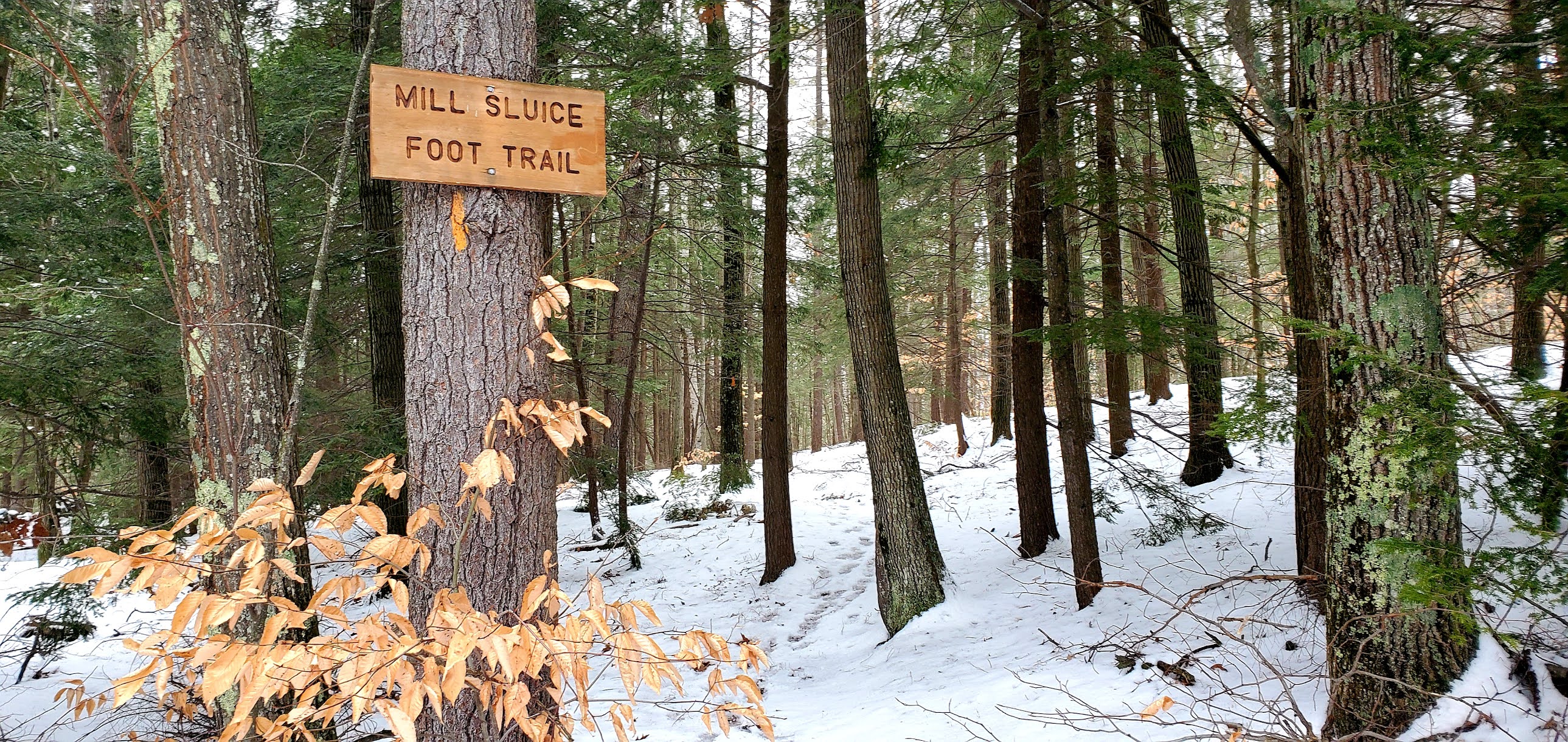
Mill Sluice Foot Trail off the main trail

Neville Ridge Trail

view of Fort Mountain from Neville Ridge Trail

sign at sharp left indicating the way


approaching the summit


the first red blaze I finally found on Neville Ridge Scout Foot Trail


where Neville Ridge Scout Foot Trail joins a snowmobile corridor briefly


unmarked start of Mill Brook Trail off the main trail


Mill Sluice Foot Trail off Mill Brook Trail


nearby landowners mean business


Saturday, January 2, 2021

Howard Swain Memorial Forest

 Today started out with some rain/snow/slush. I opted to wait that out and by the time I was finished doing some chores, I realized I was running out of daylight. So I needed something close and short. I chose the trails at Howard Swain Memorial Forest in Deerfield. Another SELT maintained property. Total distance was just 1.5 miles, but enough to get the blood flowing and check off some more trails on my redlining spreadsheet for the AMC South Trail Guide. A small parking area can be found off Nottingham Road. There was a light layer of snow on the ground and I could see no one had been here yet today. I had about an hour before the sun would set, so I quickly got myself together and headed out. I wore spikes, which were sufficient. There are 2 trails at this property which help create a loop of sorts. The trail starts on Howards Path and heads out for about a quarter of a mile before splitting. In that quarter mile there is one very short moderate incline, but that's really it for anything strenuous on this property. At the bottom of the incline is an area that could sometimes get wet, but SELT has filled the area with rocks to try and prevent too much flooding. A nice overlook of a marsh area can be seen from here. I chose to do the Quarry Trail first since it was a little bit longer. This weaved around the marsh and through the woods for about half a mile before meeting back up with Howards Path and a quick out and back to the end of the trail. Here is a very pretty overlook of another marsh, and Rocky Ridge which is actually the outskirts of Pawtuckaway State Park. A granite bench has been placed so you can see and enjoy the view, which I did for a moment as the sun started to set before retracing my steps to the intersection with Quarry Trail. This time taking Howards Path all the way back to the car. Short and sweet. 

Strava Activity


Looking over at Rocky Ridge


Friday, January 1, 2021

Whitten Woods

 Happy New Year! I think everyone is glad to see the end of 2020. Me personally? While there were some definite lows and heartache in 2020, I'm actually grateful that I had the opportunity to slow down and rediscover my love of hiking. I don't plan on stopping any time soon. Today was a bluebird day. My husband and I headed to Ashland, NH to explore the Whitten Woods area for the AMC South Redlining spreadsheet. There is a small parking area on Highland Street, and we grabbed the last spot. Still full when we returned, though we didn't really see anyone until our last half mile out. There are 3 trails broken down by color, Red, Blue for the North Peak loop and Green for the South Peak out and back. All up, it was 3.5 miles. The trail was a mix of bare ground and snow/ice. We wore spikes the whole time just to be safe. We took the North Peak loop counter-clockwise, going up the steeper section and down the longer, more gradual side. There is a lovely outlook on the way where trees have been cleared and you can see out over Squam Lake. The actual summit is marked with a cairn, but is wooded. There was a lot more snow cover on the way down, but our spikes were sufficient to keep us from slipping and sliding. The South Peak out and back is a short and moderately steep walk up a wide trail leading to a small cleared area with a picnic table with more views to Squam Lake. Definitely would be a nice spot to bring a picnic and enjoy when the weather is warmer!

Strava Activity

Trail entrance at parking on Highland St


Heading up the Red Trail

Intersection of Red/Blue/Green trails

Beginning of North Peak loop

view on the way up to North Peak

North Peak summit

view from South Peak summit

South Peak summit

one last view from South Peak summit


Sunday, December 27, 2020

Middle & South Pawtuckaway

 The weekend weather really was too beautiful not to get out again today. I was joined by my friend Laura and we headed for Pawtuckaway State Park so I could grab some new trails for my redlining spreadsheet and she could just enjoy being outdoors. We parked on Reservation Road and were the second car in but upon our return there were cars parked up and down the street. Lots of folks enjoying this beautiful day. Thankfully we didn't really encounter too many people, most groups we passed were heading up South Mountain as we were heading down. We used spikes for the first half mile on North Mountain Trail, but beyond that we were able to bare boot the entire hike. There was some ice here and there but we were able to avoid it, or walk over it carefully without issue. We took North Mountain Bypass to Chase Trail, then followed Round Pond Road around to Middle Mountain Trail. Some sections of Middle Mountain Trail were messy with leaves and ice. Along the ridge there were several blowdowns, many of which we were able to clear, but nothing that caused us to have to get off the trail. I was pleasantly surprised with Middle Mountain. I had heard from another friend who recently visited that there were some nice views, and that there was. The true summit is wooded, but the trail continues up and over to ledges on the other side with clear views across the park and surrounds. We had a bluebird day and stopped and had a snack and enjoyed the sunshine. This area was really pretty with trees and plenty of spaces to sit and relax should there be other people (which there wasn't for us). We headed back down and over to Tower Trail, which is a short and steep little pitch up to South Mountain and the fire tower. This was where we first started to see others, though quiet enough that we were able to enjoy the fire tower by ourselves. There is plenty of space here as well to spread out and sit and relax for a bit, which we did before heading back down South Ridge Trail. We joined up with Tower Road and walked over to Reservation Road where I needed a short out and back on Round Pond Trail to finish that up for redlining. This section was basically a snowmobile trail, and was rather messy, but still easy enough to walk. We reached Reservation Road and walked back to the car. Another area with not a lot in the way of scenic views, although Middle Mountain is definitely worth the hike up. Pawtuckaway overall is a great place to take a quick hike, or get in a lot of mileage if that is desired. 

Strava Activity


North Mountain Bypass off North Mountain Trail

Chase Trail off North Mountain Bypass

Round Pond Road

Middle Mountain Trail off Tower Road

looking at South Mountain from Middle Mountain

view from Middle Mountain

true summit of Middle Mountain

Tower Trail off Tower Road

along Tower Trail

along Tower Trail

along Tower Trail

view from the South Mountain firetower

view from the South Mountain firetower


South Ridge Trail at the firetower

South Moutain firetower

view from South Mountain

South Mountain

intersection of Round Pond Trail and North Mountain Trail