I've had this trail on my radar for a while ever since reading about the gorgeous views and tranquil setting. I wanted a good weather day though, and while today wasn't sunny and glorious, it was crisp and clear and most importantly bug free. Laura and I did a car spot on this one, which I'm so very grateful for. We parked my car at Alexandria Four Corners per direction in the AMC Guide. We were a little confused when we arrived as the intersection is really small and tight, and there didn't seem to be anywhere to park, so I pulled down the side that looked the least traveled and as it turned out a local was out walking her pups. I asked her about parking.. and she confirmed to just pull off the road as far as possible and lots of people do it! So I did, just a few feet in from the intersection on Orange Road. We drove to the Cardigan State Park main lot and started from there on West Ridge Trail. As I found a couple weeks ago, this trail is a good, moderate climb up from the get-go. I was mentally prepared for it this time, but it still took the wind from my sails regardless! At just about a mile, a lovely big sign marks the start of Skyland Trail. Only 4.6 miles long, but it goes up and over many named and unnamed bumps that make it feel much longer than 4.6 miles! The start was gorgeous and mossy and a relatively gentle climb up to Rimrock. Much different views than my last visit. We could see all around, and Cardigan looked like you could reach out and touch it! Continuing down Skyland Trail it makes a very steep descent down slab for just about a quarter mile, that had us on our butts a couple times doing some skooching. The views take some of the sting out of how steep it is because you're constantly looking up at the beauty around you. Once into that first col, the terrain changed back to the lovely moss before taking on the personality of what I call a "real bushwalk" (growing up in Australia, I can say that as that's what we call a hike!) This trail kept us guessing the entire length as it seemed to take on the personality of about 12 different trails between rock slab, mossy pine ridge walking, and full "bushwalk" and kept changing back and forth. The views were grandest in the first half of the trail particularly from just beyond the summit of Mt Gilman (Orange Mountain) where the views over to Cardigan and Firescrew match some of the best I've seen from any mountain! The other side of the summit had more views as far as the eye could see, though as the trend seems to be of late, those were hazy but still beautiful. The trail goes over 5 named peaks plus a couple smaller bumps, and near the summit while not actually reaching it on one more. We started at West Ridge Trail which had the biggest climb first up to Rimrock. From there, the summits were smaller, so we wanted the biggest out of the way first.. but don't be fooled. The ups to even those smaller summits, then the downs on the other side were all super steep! Thankfully short, but they packed so much punch. By the time I reached Church Mountain and then traversed the slopes of Brown Mountain, I was cooking without much gas. The trail is well marked up to the Crane Mountain summit. After that, it did become a lot more rustic (which is described in the AMC Guide) and we did have to stop a few times to look around and see which direction the trail went. The trail is a lot more overgrown on this end and not as well swept, but we had no real issues and really only got stumped once at a clearing with lots of ferns. I finally saw a very faint herd path and then a cairn hidden by all those ferns. From that point until the end the blazes seemed to be freshly painted, and we had no issues wayfinding. The end of the trail pops out on Church Hill Road which is gated and private, though you can obviously walk down to Knowles Hill Road where you take a right and soon reach the Alexandria Four Corners intersection. I've never been so grateful for a car spot in my life! An amazing trail though, highly recommend!
Strava Activity
 |
| views from Rimrock |
 |
| starting the steep descent from Rimrock |
 |
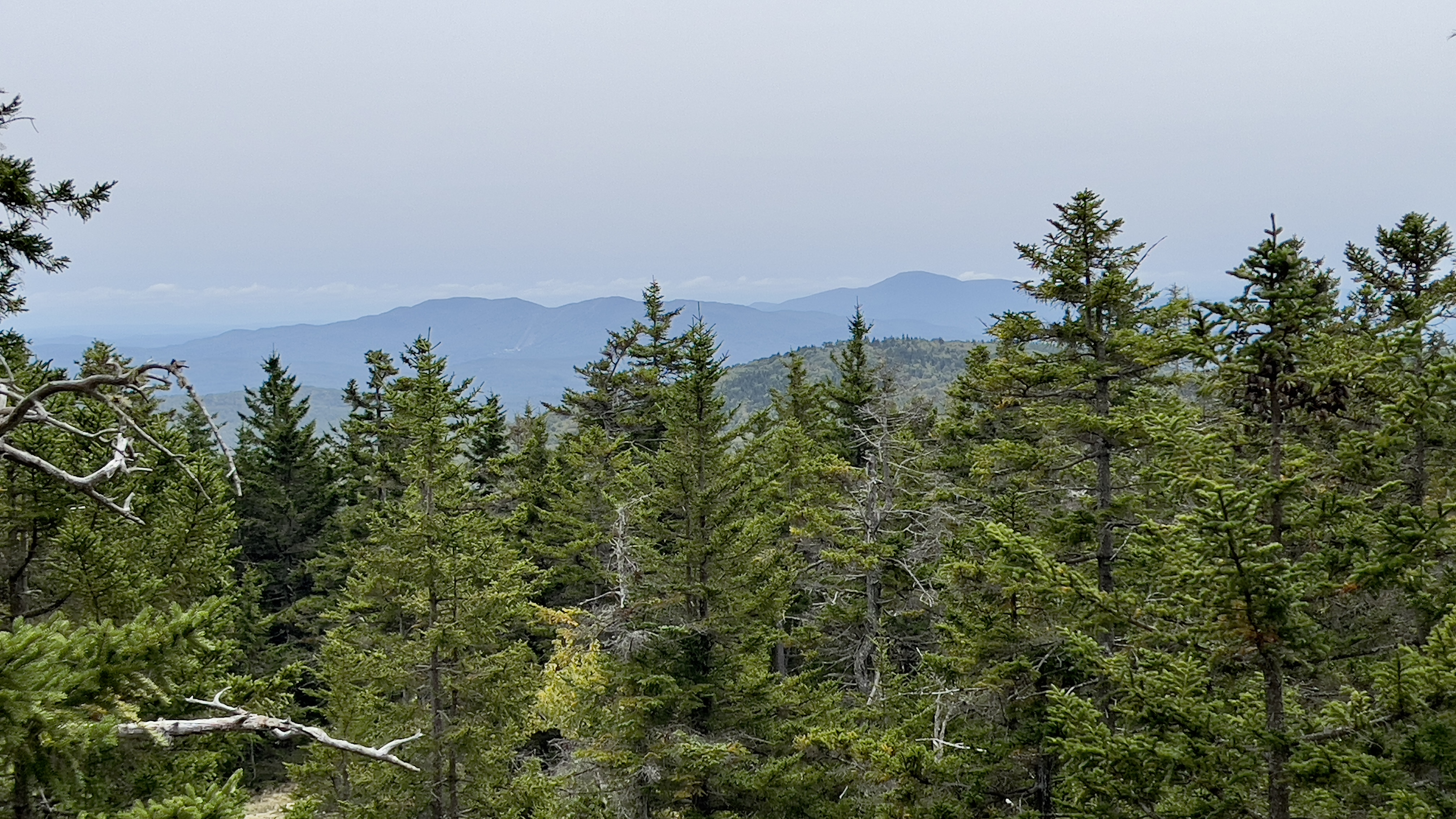
| starting the steep climb to Mt Gilman |
 |
| pictures don't do steepness justice, this was a little steep section.. with lovely colors! |
 |
| looking out over where we are headed |
 |
| starting to get more rustic, trails in there somewhere |
 |
| this was the one place we got stumped for a moment |
 |
| popping out on Church Hill Road |


No comments:
Post a Comment