Saturday, September 24, 2022

Newbury Trail - Mt Sunapee

 It was a spectacular day, albeit it windy.. I knew I wanted something with some views potentially, thinking the wind would clear the skies. I decided to head back to Mt Sunapee and finish the Newbury Trail that I half hiked last year and grab the last tenth of a mile I needed on Solitude Trail down to Lake Solitude. Having read all the trail reports and descriptions, I knew parking was a little ways away from the trailhead on Rt 103 at Newbury Harbor near the Visitors Information kiosk. Parking on Lake View Ave where the trailhead is, is prohibited by the town of Newbury. I arrived sort of early and was surprised to find only a couple cars there ahead of me. Carefully crossing Rt 103 and heading up Newbury Heights Rd, the second right is Lake View Ave. Heading up this, the trailhead is just a little ways up on the right, about 0.2 miles from the parking area total. The trail starts on private land and immediately crosses a small brook. We had some decent rains yesterday, so it was nice to see water flowing and a little cascade after all the dry weather we've had. I had read there were some steeper sections on this trail, and those started almost immediately. The first mile and half is a pretty steady up most of the way. There were some small reprieves, but mostly up. At 0.4 miles there is a cairn in the middle of the trail. This marks the Eagles Nest Trail, which I took 0.2 miles to the Eagles Nest outlook. Starting to become restricted with tree growth, nonetheless a pretty overlook over Lake Sunapee and surrounding mountain tops. At about 1.3 miles the Rim Trail intersects Newbury Trail. This is where I had turned off last time I came down Newbury Trail. Continuing up Newbury, there are a couple of steep, yet short scrambles. A scenic overlook, again becoming restricted with tree growth is about 0.2 miles from the Rim Trail intersection. About 2 miles in, you pass just below the true summit of Sunapee South Peak and the trail really levels out. The last couple of tenths over to Solitude Trail were really pleasant, if not a bit muddy. I turned left at the intersection with Solitude Trail, and descended gently about one tenth of a mile to the Andrew Brook Trail intersection and Lake Solitude. Until now I had only passed 2 groups. It started to get busy from here, which I expected on such a crystal clear day. I didn't summit Mt Sunapee as I know the Solitude Trail once it reaches the service road for the ski trails is a steep incline and I wasn't interested in that today. Instead I retraced my steps from Lake Solitude (excluding a revisit to Eagles Nest) and carefully made my way back down, with only one slide on a wet root that had me sitting on the trail briefly! Thankfully no one around to witness that graceful move. 

Strava Activity

Newbury Harbor - where parking is located

Trailhead on Lake View Ave


Trail marker for Eagles Nest Trail

view from Eagles Nest

view from Eagles Nest


Sunday, September 18, 2022

Partridge Woods - Osgood Hill

 I ascended Osgood Hill a few months ago on a hot and steamy day on the Kulish Ledges side. There are trails on the other side of Osgood Hill as part of the Partridge Woods trail network. A couple are relatively new and the whole system is rather rustic, but super well marked and easy to follow. Parking is off Brickyard Road, I actually missed the entrance the first time, at a large stack of mailboxes, look for a small sign just in from the road, there is a parking area and kiosk just down from that. Starting on Ethans Way, which is an old road, the trail ascends moderately but with easy footing. At half a mile, the Hurd Hill Trail leaves to the left. I took this trail, which is another old road. It intersects with Ridge Trail after 0.2 miles (in a rare instance, I found the mileage on the signs to be exactly as my watch recorded!) and then shortly thereafter veers off to the left, creating a loop over the summit of Hurd Hill. I started my hike with very low clouds/fog, so I didn't really have much by way of views.. not that there are many along this route. The summit of Hurd Hill is somewhat cleared, but also overgrown with a picnic table and bench amongst the tall grass. From here I picked up Ridge Trail, which starts as an old road, then becomes trail. The variety of terrain along here is cool, from open woods, to blueberry bushes to open area with tall grass and back into woods. There are a couple viewpoints noted on the trail guide which stem from cleared trees. Ridge Trail heads up and over a summit named Blacktop before a short, somewhat steep climb with a ton of little switchbacks up to the Osgood Hill summit. Another bench on the summit of Osgood Hill is in a cleared area, however no views here. I continued on Kulish Ledge Trail for about half a mile, then picked up Osgood Hill Link Trail. In about half a mile it meets up with Wheeler Trail. I went left first descending a couple tenths of a mile to a driveway marked semi private on the map but private on a sign on the road. I retraced my steps continuing on Wheeler Trail past the intersection with Osgood Hill Link Trail and Ethans Way to the intersection with Ridge Trail. Wheeler Trail is another old road, slightly rougher footing, but still easy going. Back to the intersection with Ethans Way and an old homestead site of the Wheeler property. From here I descended down Ethans Way (old road the entire way) and back to the car. I only saw 2 ladies hiking up within my last 3/4 mile on Ethans Way. 

Strava Activity


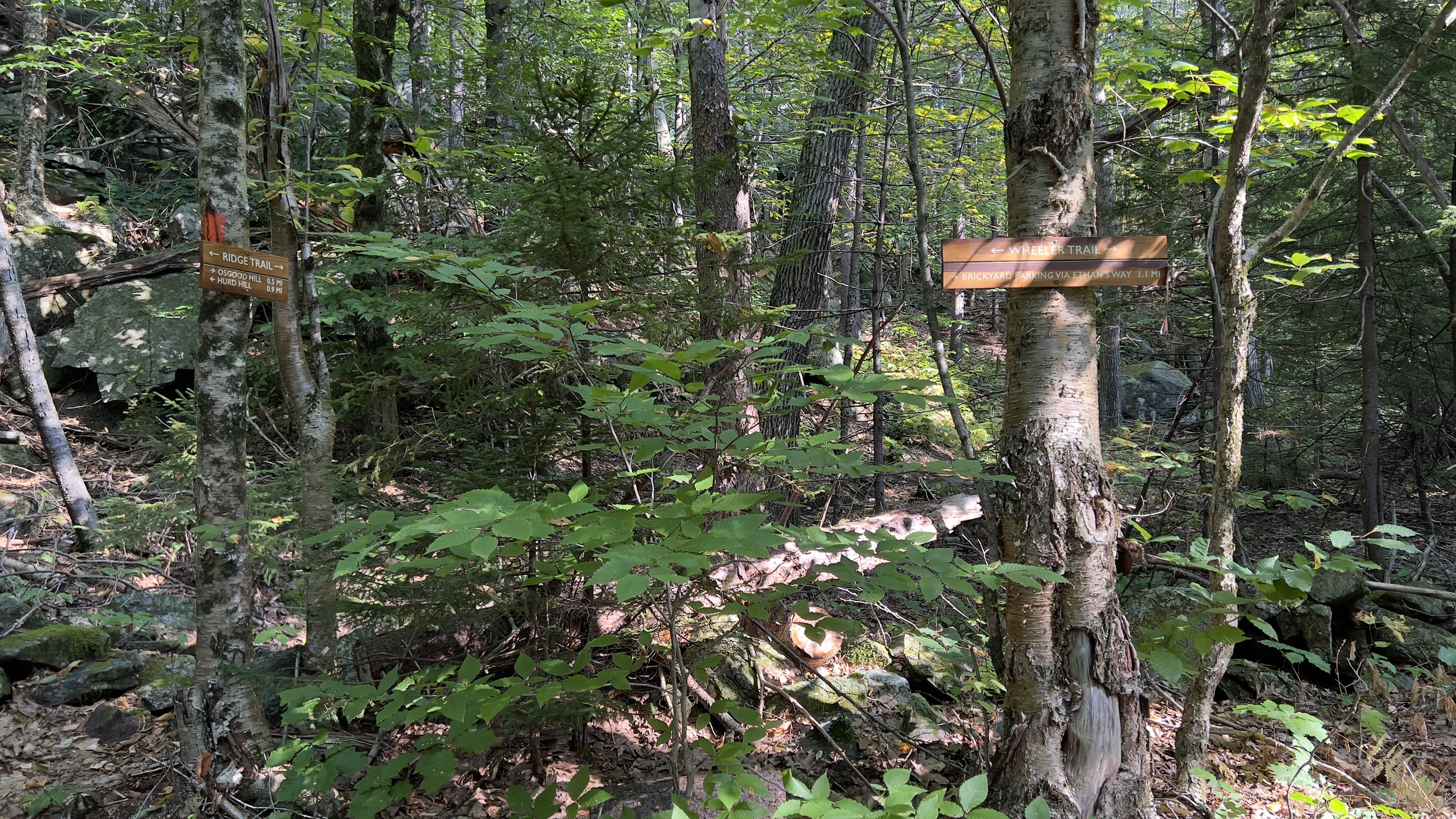
Hurd Hill Trail going left, Ridge Trail going right


funky tree along Ridge Trail


loved the sun burning through the fog


mixed variety of terrain along Ridge Trail


Kulish Ledge Trail 


Wheeler Trail at the private driveway

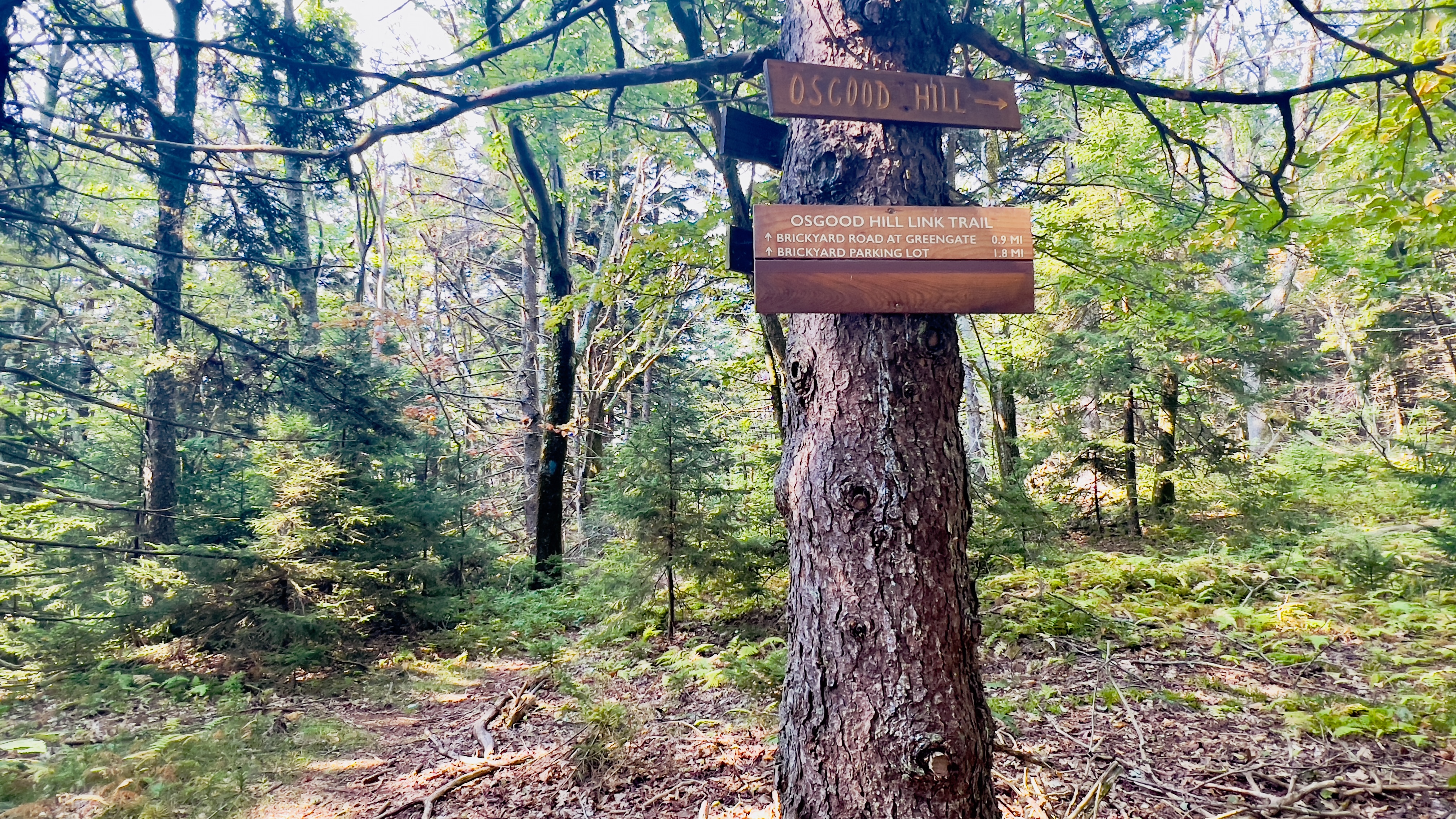
Wheeler Trail where Osgood Hill Link Trail ends

Wheeler Trail where Ethans Way meets up


Saturday, September 17, 2022

Lovewell Mountain

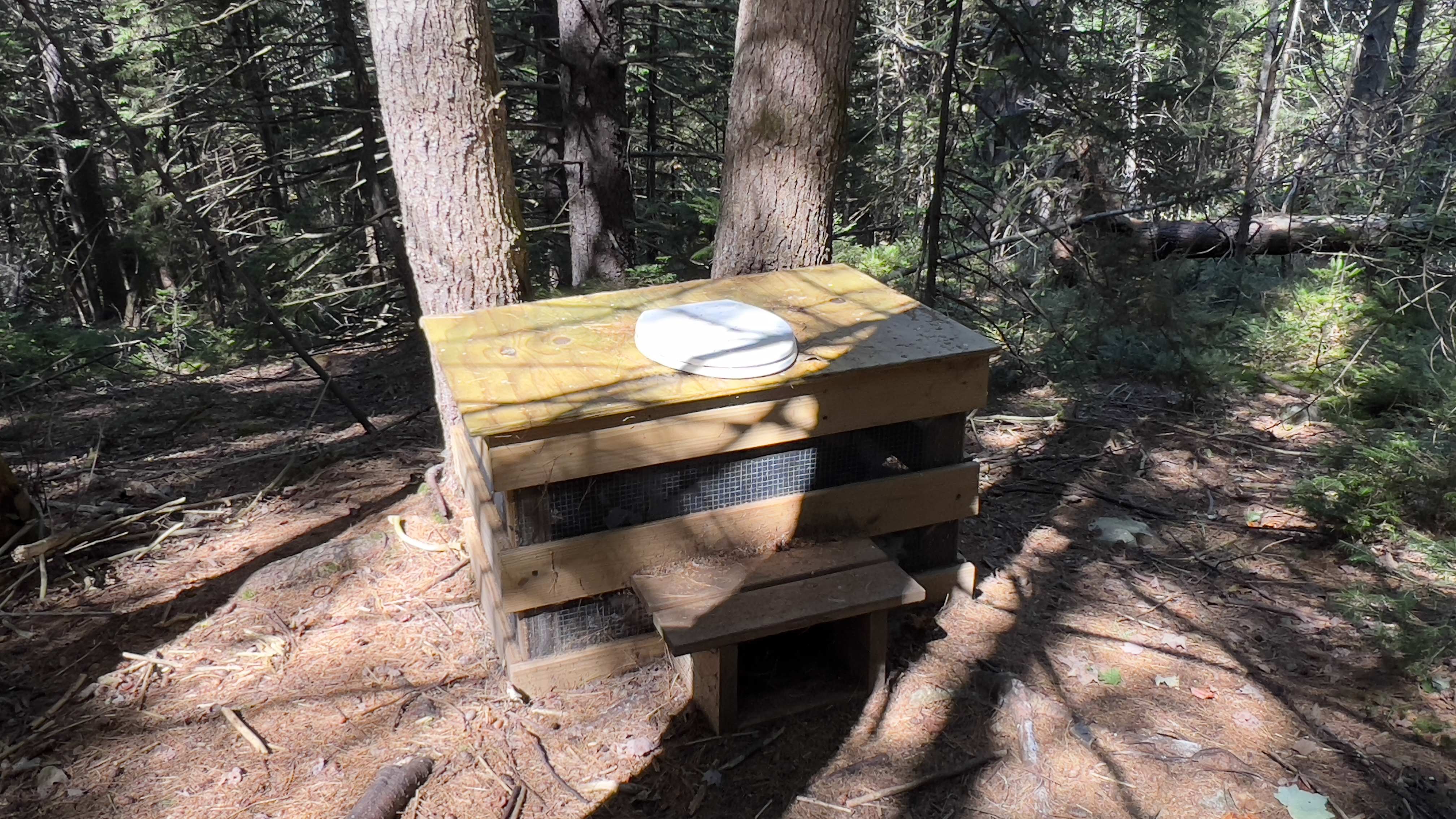
 Having previously ascended Lovewell Mountain from Lovell Mountain Road, I needed to complete the trail from the other side. Lovewell Mountain Trail is a section of the Monadnock Sunapee Greenway and I needed to complete the section from Half Moon Pond Road to the summit. Having just been at this trailhead a few weeks ago when I hiked into Pillsbury State Park, I knew it needed to be accessed before Winter as the road is not maintained during that season. The last half mile of Half Moon Pond Road after Martin Road is very rough and should only be attempted by high clearance vehicles. As was the case last time, when I arrived there was already a vehicle parked, though I never saw the occupants. Today was absolutely perfect hiking weather, crisp temperatures without being cold, delicious light making everything glow and no bugs! I headed into the Max Israel State Forest where the trail immediately begins a gentle ascent. It is roughly 2.3 miles from Half Moon Pond Road to the summit and the trail goes over 3 knobs before the final ascent to Lovewell Mountain. The trail is impeccably maintained and just gorgeous meandering through the forest with a variety of up, down and flat to give you the ability to soak it all in without being too out of breath! I kept stopping to look around, it was so pretty. Roughly 0.8 miles from Half Moon Pond Road and atop the 2nd knob is Max Israel Shelter, which I visited on my descent. The shelter even has a not so private privy! The final ascent is more technical with rocks and roots, but made a little gentler with switchbacks. It was here I was passed by the only people I saw on the hike, 2 ladies and a pup named Norm. Along this final push you also enter Lovewell Mountain State Forest. The summit was bigger and more open than I had remembered from my previous visit and a bench has been added at the viewpoint, which was a pleasant surprise! Trees do restrict the view ever so slightly, but still a gorgeous view over towards Kearsarge and surrounding bumps is an added bonus. I remembering being pleasantly surprised on my first visit, and I was again this time around. Definite hidden gem of NH hiking! As I arrived back at my car, another car was just parking with a lady removing a bike. She had been planning on riding 7 miles back into Washington township to leave her bike and hike back to her car. She asked if I would mind driving her instead, which of course I was happy to do.. so if Carol from Grantham somehow ends up stumbling onto this page *waves hello*

Strava Activity