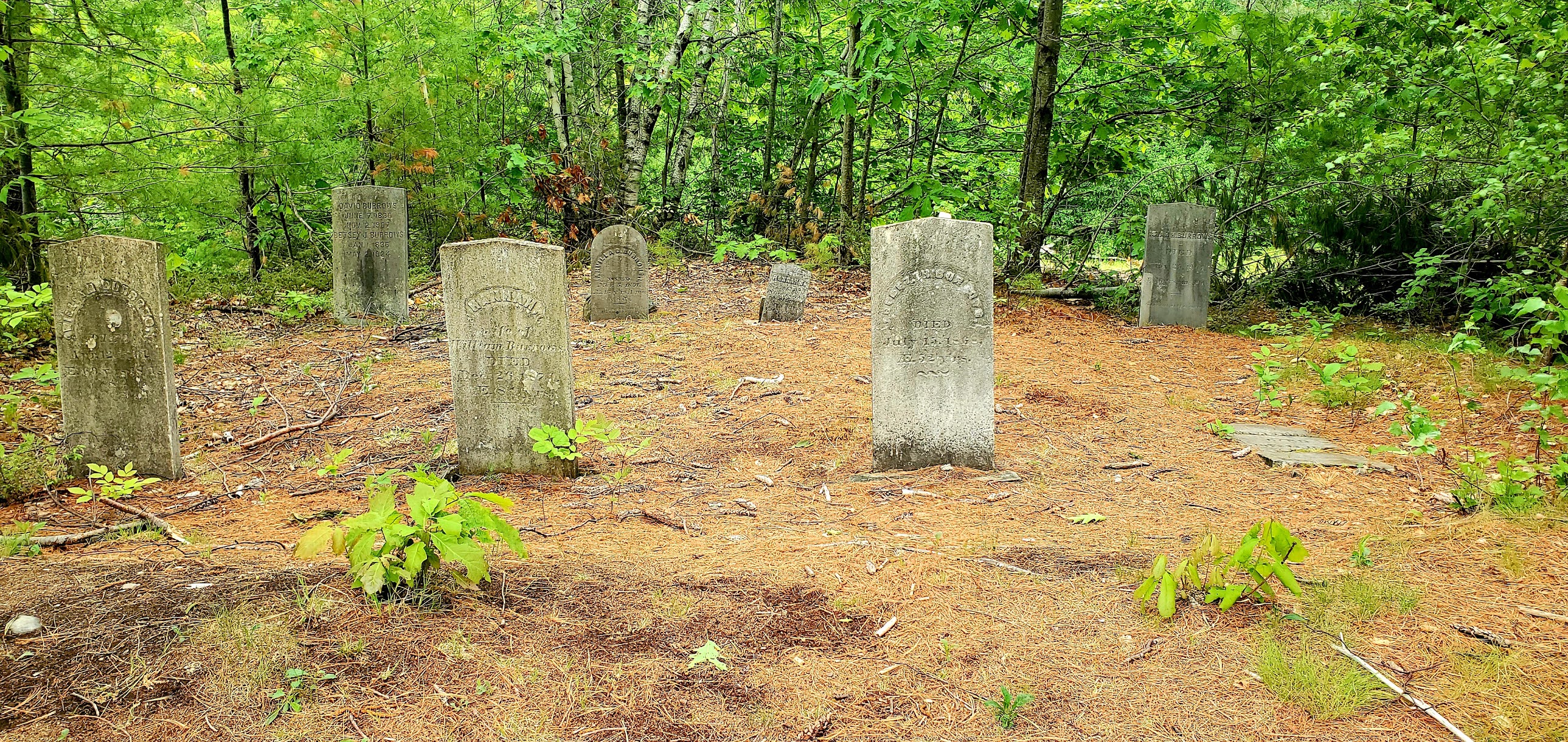
It's Memorial Day weekend and the weather has gone from hot and sunny to cold and rainy. Initially I was super bummed. I then realized the soldiers who paid the ultimate sacrifice and the reason we even have a long weekend, didn't get to choose the weather they were out in, so I could suck it up and be outside too. I chose the Moose Mountains Reservation in Middleton/Brookfield. It's the last place I have to hike on the Lakes Region tab of my redlining spreadsheet. I had been here once before, about 7 years ago and had been putting it off due to my experience at the time being that it was a little confusing to navigate, and had heard it was still much the same. I armed myself with a couple different maps and just went for it. I actually found the area to be much improved and had no issues with navigation at all (with the aid of my maps). It's still relatively rustic, but sometimes that can make an area special. It's not overrun with a lot of people. I headed up the Phoebes Nable Mountain Trail, which is only about 0.6 miles to the summit. Although we'd had some decent rains, the trail wasn't too wet or slippery and the cooler temps kept the bugs at bay! It's a moderate climb up to the summit, nothing too strenuous. There is an open area that looks out over the surrounding area and into Maine. Not a spectacular view by any stretch, but a pretty one. I stopped briefly and took a picture before heading down the other side on Phoebes Nable Loop Trail. This is where the biggest improvement over my last visit was noticeable. Last time I sort of meandered down a maybe trail, this time there was a clearly marked and maintained trail that weaved through pretty woods down to Burrows Farm Trail at the bottom. Burrows Farm Trail is a snowmobile corridor (I believe) so wide and easygoing. You pass through an open field with views to the surrounding Moose Mountains. Also passing the cemetery and former farm site of the Burrows family for which the area is named. Moose Mountain Trail leaves off Burrows Farm Trail and heads uphill. According to the maps, it sort of just stops halfway up the mountain. I had read it was somewhat overgrown and difficult to navigate, but I didn't find that at all. I don't recall seeing any blazes, but the foot path is very obvious, if not a bit rough in places due to erosion. I had anticipated just following until the trail ended and was following my progress on an online tracker. I reached the "end of the trail" according to the maps, but the trail very clearly continued and was even marked with some small cairns here and there.. so I decided to follow and investigate, with the notion if I was going too far in the wrong direction I'd just turn around and retrace my steps. The trail kept going and was in great shape. I was surprised to hear voices and encountered a family who had done the same as I and had turned around a little further ahead feeling like the trail had petered out. They had said there were no views (or very limited with trees having grown up) which I had anticipated, but there was a trash can (that was full) which was surprising. I decided to keep going and check it out and realized we were on a snowmobile and dirt bike trail network (hence the trash can). I reached the trash can where there was a peekaboo view of Mt Chocorua and decided to keep going a little further. The trail definitely got rougher but was very obvious. To my surprise, maybe a couple tenths past the trash can the views opened right up and were some of the best I've seen in a while! I couldn't believe it! The trail steeply descended and I contemplated following it (and actually did start to before I realized it was going in the wrong direction to where my car was parked) so I turned around and headed back the way I had come. I ended up passing another large family group on my way down. There was a spur path with a faded old sign saying Waterfall that I decided to check out. The waterfall was dry, but I imagine would be pretty with good water flow! Back at Burrows Farm Trail, it's an old road walk back to the car. Knowing the trail is gated, I was surprised to have a truck coming up towards me not far from the parking area with some kids in the bed of the truck. I assume they either own the land or are connected to the Forest Society. Back at the car and I was pleasantly satisfied with how the day evolved!
Strava Activity
 |
| view from Phoebes Nable summit |
 |
| Phoebes Nable Loop Trail from the summit |
 |
| the bottom of Phoebes Nable Loop Trail |
 |
| field on Burrows Farm Trail |
 |
| gate on Burrows Farm Trail |
 |
| I would take the spur on my descent |
 |
| the "waterfall" on the spur path of Moose Mountain Trail |


No comments:
Post a Comment