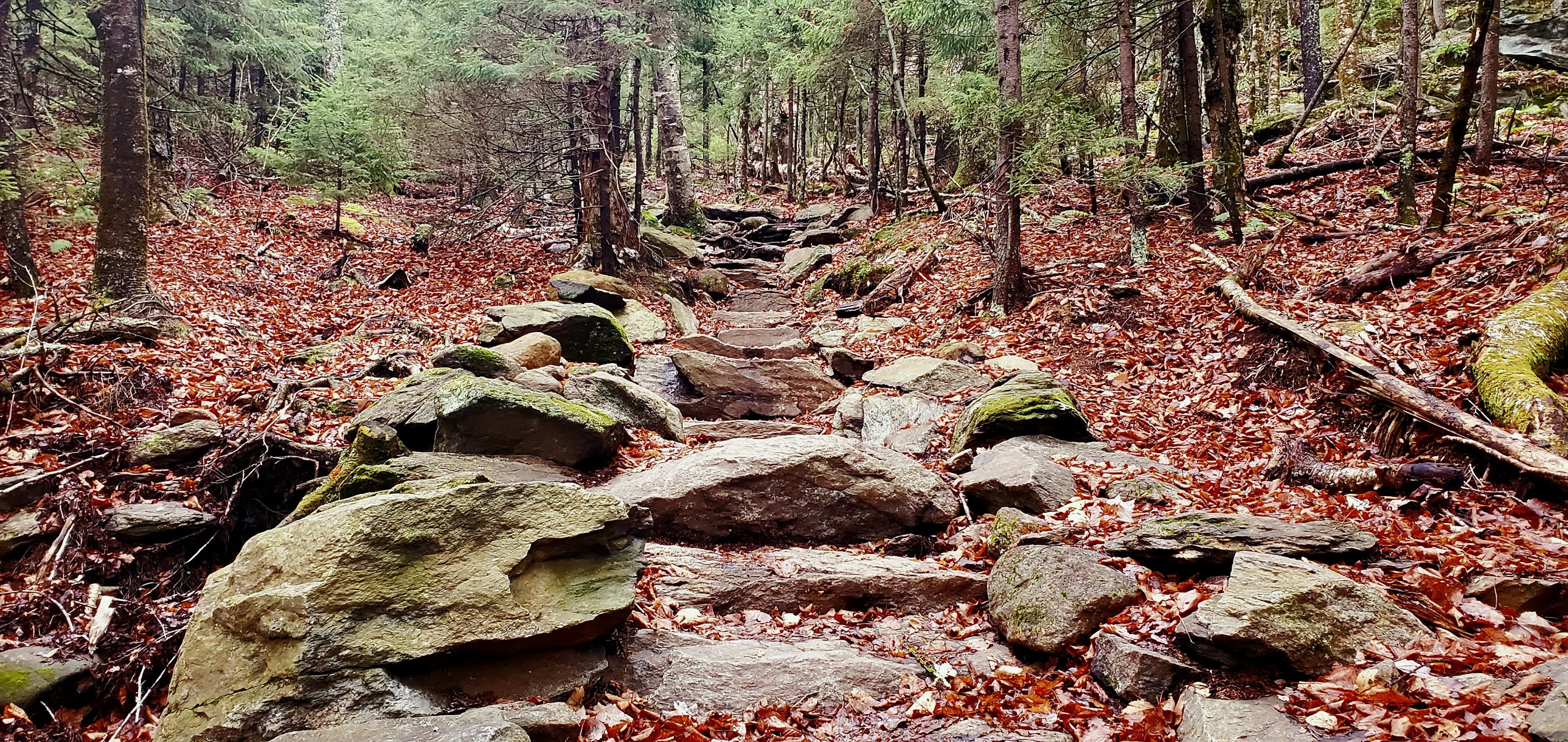
I had been putting off hiking Mt Monadnock, knowing how popular it is and really not wanting to deal with people. I figured with today's much colder temps it would be a good day. It's never going to be quiet on that mountain, but I hoped for at least space on the summit. I found it, just barely! I have a love/hate relationship with hiking sometimes. Even when I hate it, and I want nothing else but to be done.. I love it. Today was all that and more. I chose Pumpelly Trail for my first adventure up Monadnock. It's the longest direct route to the summit, and from what I'd read the elevation wasn't so bad. I feel like Instagram vs Reality was the best way to sum up my day. I knew what the facts were, as far as elevation gain and trail description, but the reality of what I experienced was far from all that. Pumpelly Trail starts on East Lake Road in Dublin. There's no parking area, but you are allowed to park alongside the road being mindful of No Parking Signs and ensuring you are facing traffic flow on the side of the trailhead. The trail begins on private property, so thank you to the property owners who allow access. The trailhead sign is just in from the road, look for it opposite a log cabin on the lake. There were a few cars already there when I arrived and I ended up seeing people fairly often up and down the trail, but not overwhelmingly so. Pumpelly Trail starts out very moderately, mostly flat for the first 1.8 miles. The trail takes a turn to the left and there is a staircase constructed of rocks. I thought "how nice, what great trail maintenance".. what I didn't realize at the time that this was the beginning of the end! LOL From here the trail goes up, and up and down, and up some more.. most of the ups are straight up and the downs are straight down. The trail was damp today after rain last night and temps in the 30s that didn't dry anything out. I had spikes in my pack as I wasn't sure if the trail would be icy. There was ice in places, but I didn't need the spikes and the ice was easily avoidable. After the first significant climb, you leave the pine needles and leaves for the most part and the trail becomes rock slab. Pumpelly Trail follows the ridgeline of a shoulder of Mt Monadnock and goes over 2 significant bumps (which explains the ups and downs). The trail isn't blazed but is easy to follow, once on the rock slab there are cairns most of the way. All intersections are marked with signs and often trail names/arrows painted onto the rock. I began to tire with all the ups and downs and started to feel really quite defeated. As a vertically challenged hiker (I'm 5'2") a lot of the climbs were hand and knee climbs because I couldn't reach to step up. I had initially had vague thoughts of bagging Town Line Peak, the second bump you hike over (the trail skirts just below the actual summit) which I believe is the high point for the town of Dublin. As I progressed though and realized how long it was taking me, I decided that I couldn't afford any extra as it would just add too much time to my day. As it turns out, I missed a right hand turn on the trail, and while I was scrambling to figure out where the actual trail was, I ended up on top of Town Line Peak anyway! It was here that I realized I was off trail. Thankfully some people (on trail) went past and I was able to get back on track easily enough. Although I'm glad to have bagged Town Line Peak as a bonus, it didn't help my frame of mind at the time. The trail starts to get steeper on the ups from here as you begin the ascent towards the summit. All I could think was "how on earth am I going to get back down this trail". I rarely feel scared on a trail, but this one was getting the best of me. I wasn't trusting my steps even as I saw plenty of others just fly past without issue. I second guessed every step, afraid to slip and just became even more tired. The last push to the summit is really steep and seemed never ending. I finally reached the top and it felt quite anticlimactic considering the grandeur of this peak and how many lists it appears on. Yes, there are views for 360° and it really is stunning.. I just felt flat. I was honestly quite scared about going back down and how long it would take me knowing I'd have to take plenty of care on some of those steep descents. Wind chill was brisk as it was quite gusty so I didn't linger too long. I did find a little niche to stop and have a snack and prepare mentally for what lay ahead. As is usually the case, the descent wasn't quite as a bad as I had been anticipating.. it definitely wasn't a breeze, and I had to meander around a little to find a safe way down but I got off the cone and was heading across the ridgeline when I encountered 2 women who thought they were lost. They weren't and were heading in the same direction I was so we decided to hike down together. I'm convinced they were my trail angels and were put there just at a time when I needed them. They could easily have gotten down the trail in half the time they did, but waited for me when I slowed down on climbs and made sure I made it safely down. The most amazing thing was they distracted me for most of the descent. They had met on a hiking expedition in New Zealand and had since been on another trip to Nepal together.. so they shared their amazing stories and before I knew it we were back at the trailhead. The only mishap, at one point I got snagged on a fallen branch and couldn't free myself and ended up head over turkey in a mud puddle. Other than a hole in my pants from the branch (which I didn't discover until I got home) and a few aches and pains, I was fine and able to continue no problem. All's well that ends well, and I can check off Mt Monadnock from my many lists. If I'm ever to complete redlining the AMC South Trail Guide, I'll have to go back (many times, there are a lot of trails on that mountain) and I'm sure my experiences will change my memories of this peak.


No comments:
Post a Comment