I've been interested in exploring more of the greater Cardigan area for a while, but have been hesitant as I've heard it can be a difficult area to navigate in places.. and I know much of it is old snowmobile trails etc, so I wasn't sure what type of condition they'd be in during Summer months. I decided to tackle Bear Mountain, which would finish the Sugarloaf area I have previously visited in the Bristol/Hebron area. I decided to do a reverse lollipop heading up Bear Mountain Trail, doing an out and back on a section of the Elwell Trail and then back down via Elwell Trail to Bear Mountain Road. I had read it was a short, steep up so I mentally prepared myself. The day was warm, but not ridiculously so. The trail head is on Bear Mountain Road, which is a Class VI road once Panorama Rd turns off it, I have read varying reports of the condition of the road from here and whether a vehicle can make it to the trailhead. I figured I'd give it a go and see how far I got. It started out quite tame, and definitely got rougher, but I was easily able to make it to the trailhead, which has room for maybe 2 cars just beyond on the right, being careful to not block either Bear Mountain Road or the gated road off to the left. There are options for parking along Bear Mountain Road earlier on, with a large cleared area near Panorama Rd with room for several cars, adding a half mile or so gravel road walk to the trailhead. I geared up and sprayed myself with bug spray and headed out. Immediately I encountered a super muddy area and remembered reading that it was typically wet down low. Pushing through, it was slightly overgrown, but marked well so easy enough to navigate. It was unfortunately rather buggy, which lessened my overall enjoyment of the area with no breeze for any reprieve. I thought the trail started out comfortably and kept waiting for the steep section. After crossing a small brook that steep section arrived.. I don't mind a short steep scramble if it's not exposed, which this is not. I took my time and enjoyed the peakaboo views over Newfound Lake along the way. Turns out this would be my favourite part of the day. From here on it became a slog. I reached Elwell Trail in relatively quick time (for me) and headed on up to the outlook below the summit. I only stopped briefly to enjoy the view as the bugs were incessant and really the only solution was to keep moving. I had not anticipated how rolling the trail would be. The ups were up and the downs were down with a few level sections in between. My plan was to hike about a mile and a half out to a powerline swath which would be my turnaround point. In some areas the trail was wet and muddy, and in others dry.. it was just seemingly neverending. The summit of Bear Mountain had similar but more restricted views than the outlook down below. Coming down the backside of Bear Mountain I crossed a few old woods roads, then encountered a snowmobile trail that was really muddy and I lost the trail on the other side. Using my digital downloaded tracks, I pushed through the woods, seeing that I was in the vicinity and thankfully found a blaze after about 10 minutes. Coming back this way it was much easier. When you hit the snowmobile trail, look left and there is a faded blaze on the tree. Head down the snowmobile trail a few hundred yards and a very small cairn and faded blaze mark the re-entry into the woods. From here the trail roller coaster ride became a little more subtle, however the tick situation started to get out of control. After what felt like years, I eventually reached the power line swath and carefully looked for cairns and marked stakes to navigate halfway across to the a slab that an actual power line tower was on. From here there are views over to Cardigan Mountain and the surrounding areas. I looked down at one point and realized I had many ticks crawling over my pants. I have often bragged that in all my years of hiking, I've been very lucky in the tick department, only finding a handful total. Today's hike made up for it and then some. I flicked off what I could see and headed back. I started to get really tired and just wanted to be done at this point. Knowing after re-crossing the snowmobile trail I had all those ups and downs again, I tried as best I could to just power on. I made it back to Bear Mountain summit and knew it was going to be a steep descent. Continuing on Elwell Trail, I honestly feel like it was as steep as Bear Mountain Trail, and made worse as it was very, very leafy and slippery. I took a really long time getting down and finally made it back to Bear Mountain Road. I did an out and back of about 0.3 miles to Backcountry Trail on Sugarloaf, which was where I had turned off Elwell Trail on my previous trip. I've never been so glad to be on a Class VI road and back to my car. In all, and including ones found up to 2-3 days later, I had 17 ticks on me! Yuck!
Strava Activity
 |
| looking up Bear Mountain Trail |
 |
| view from the outlook below the summit |
 |
| view from the summit |
 |
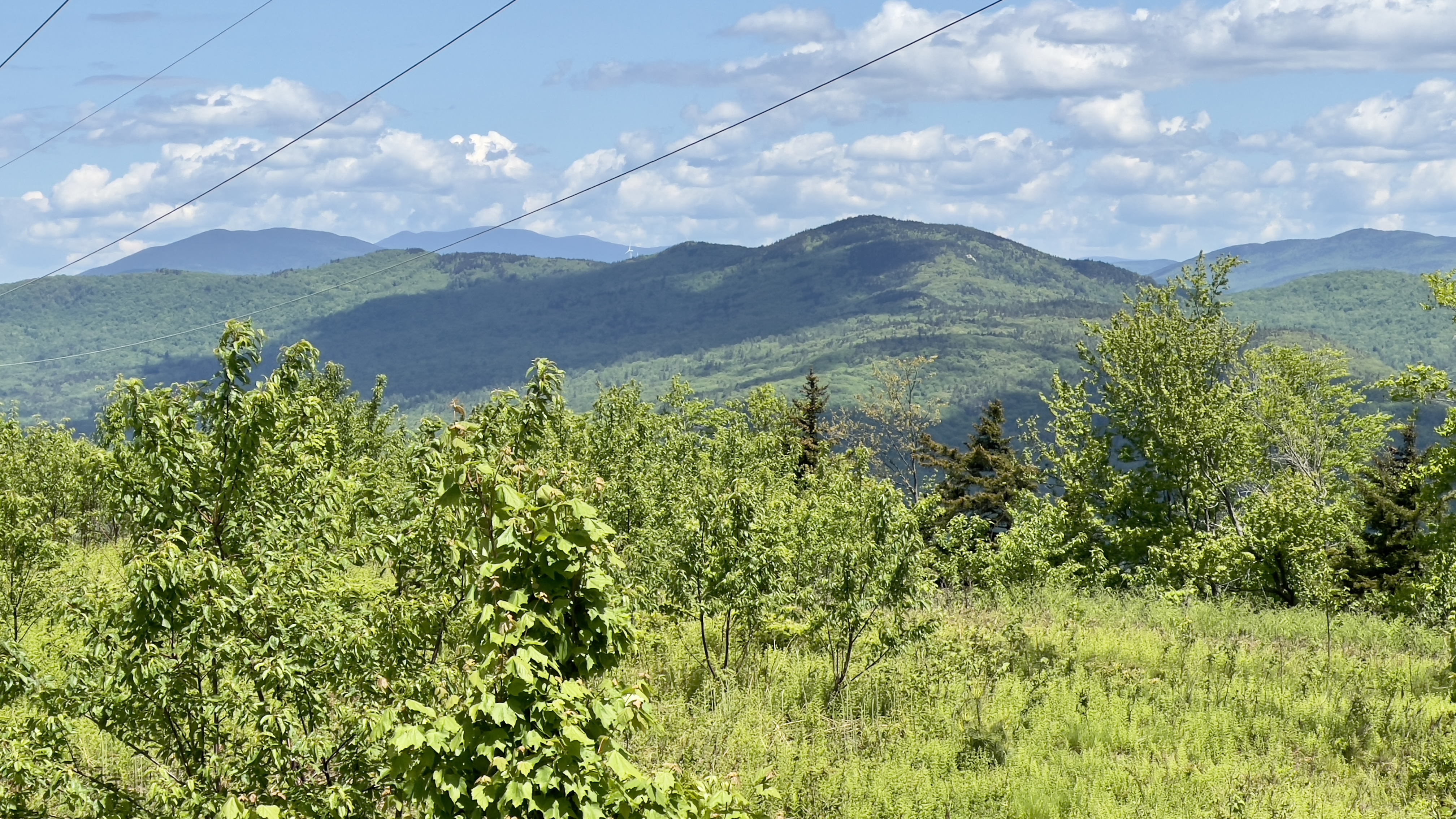
| view from the power line swath |
 |
| view from the power line swath |
 |
| view from the power line swath |
 |
| zoomed in on Cardigan |
 |
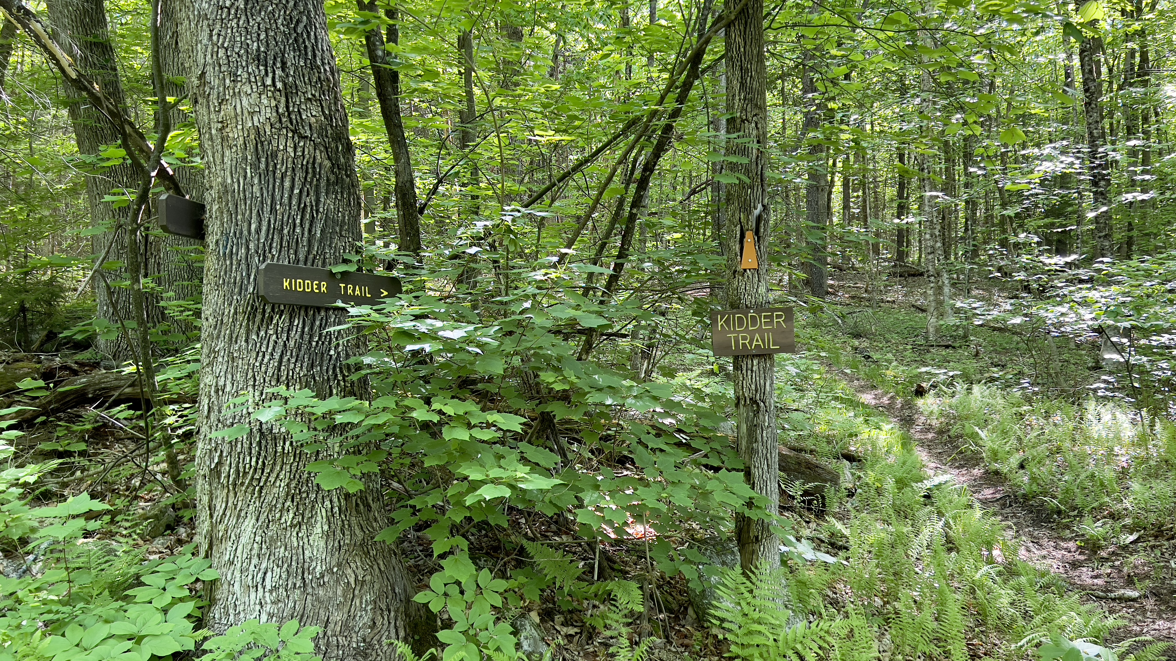
| Elwell Trail from Bear Mountain Road |
 |
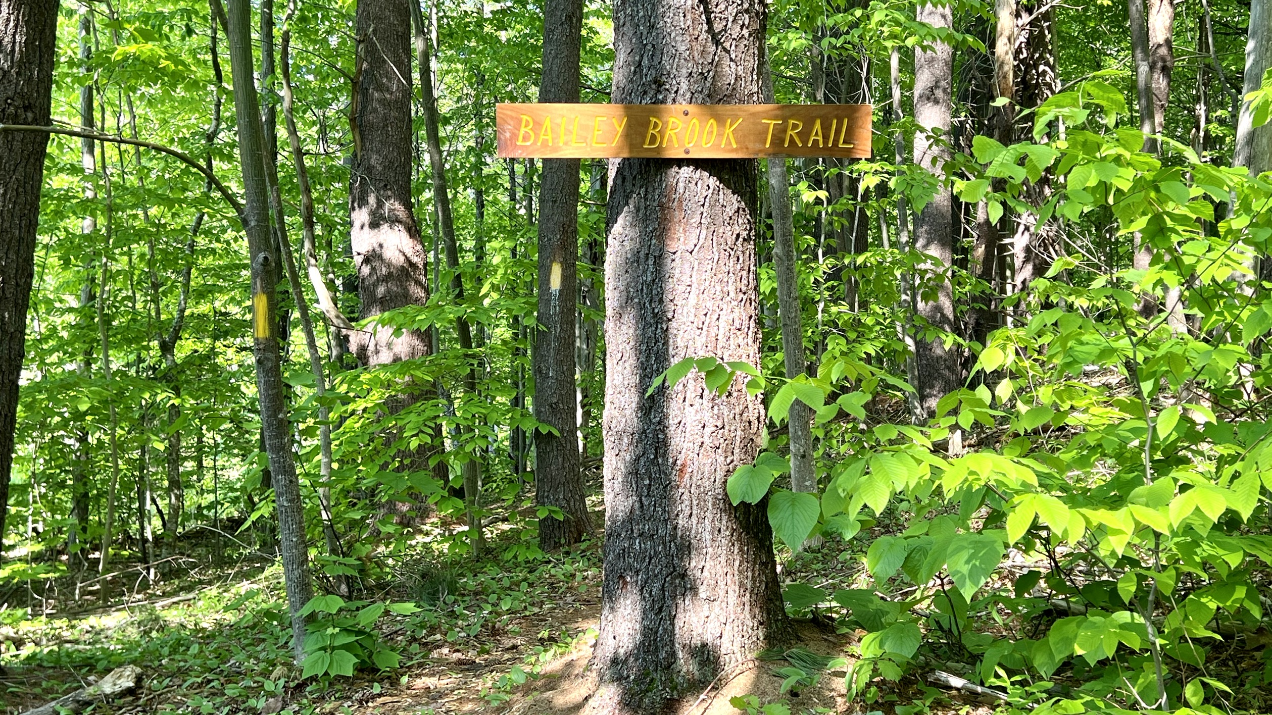
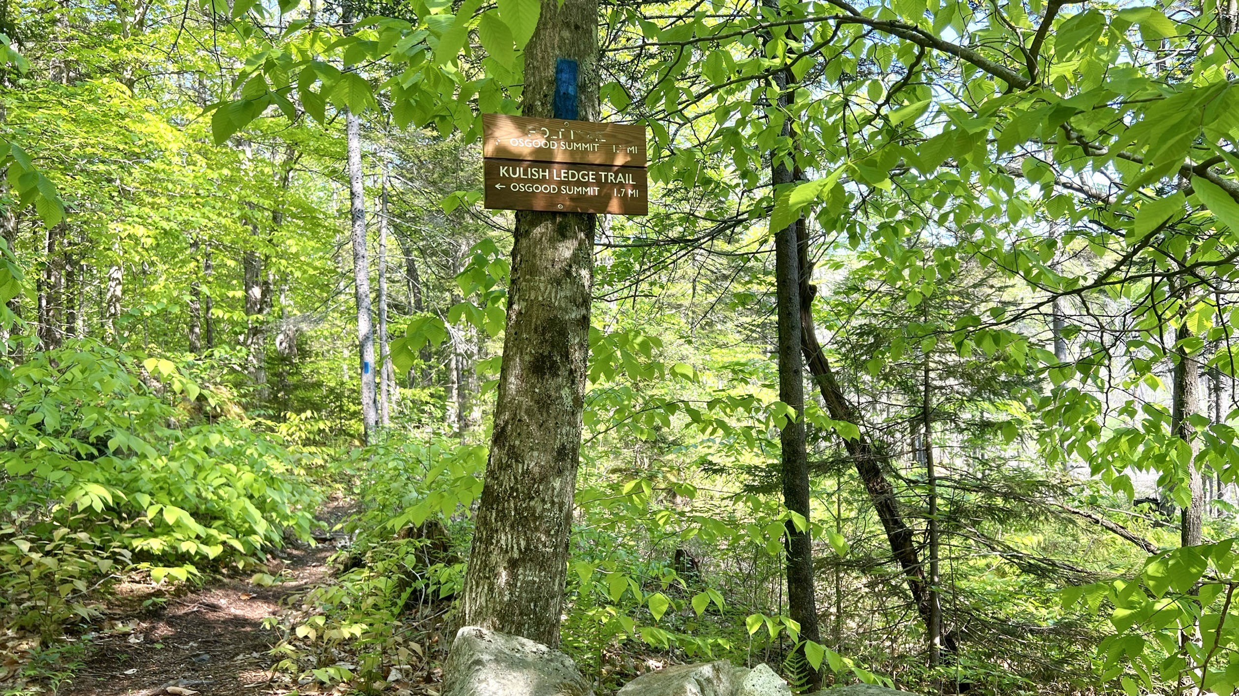
| Backcountry Trail intersection |
 |
| Backcountry Trail intersection |
 |
| Bear Mountain Road |


