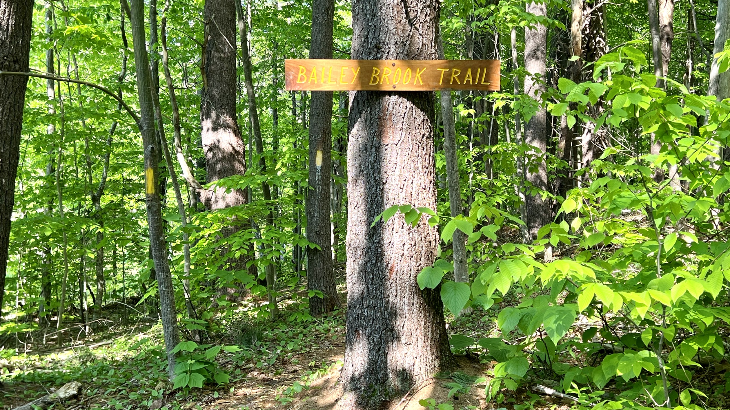
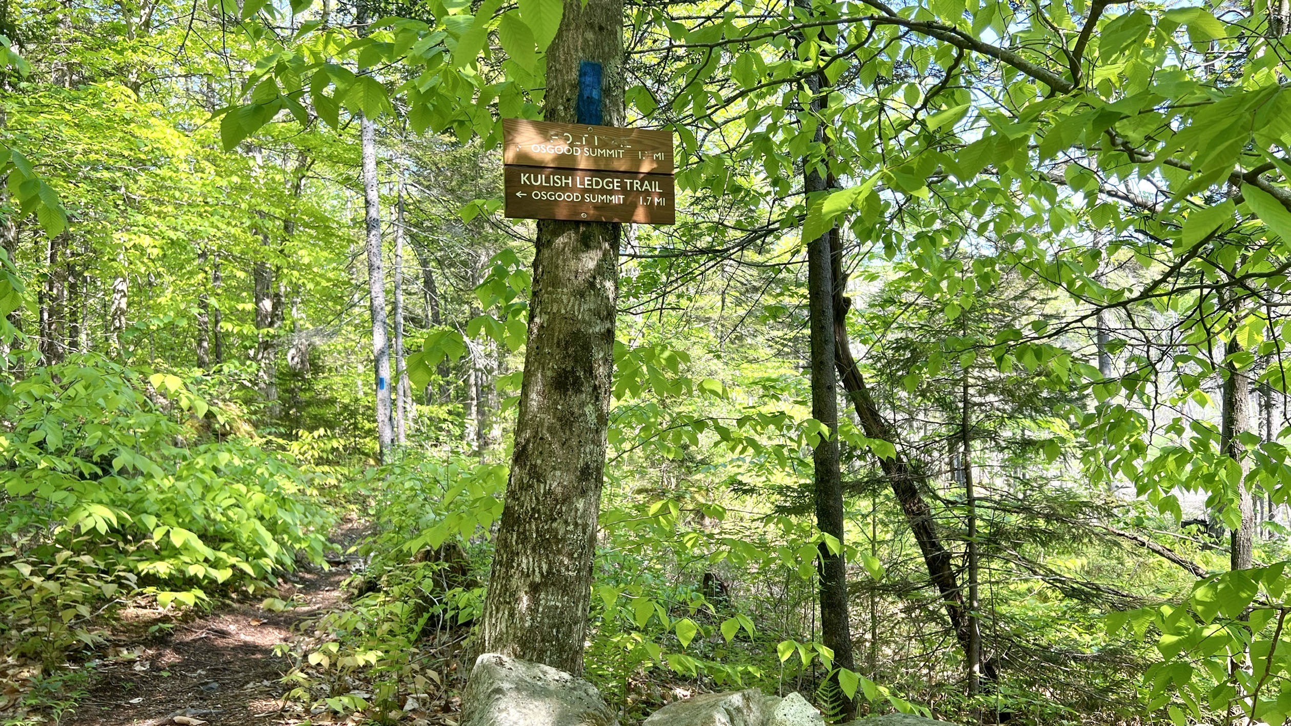
I've been hankering for some views of late, and while I absolutely love all the miles I've walked over the past few months, there isn't always a big bang for your buck on those hikes. It was forecast to be another warm one. I headed over to Nelson to explore Kulish Ledges and Osgood Hill. I've seen a few reports on this hike of late and had read that the trail network had been significantly improved and expanded. I parked on Old Stoddard Road in the small parking area. There is the Harris Center dragonfly symbol on one of the trees, a kiosk and mailbox with maps. I headed down Old Stoddard Road a couple tenths, which is a dirt road. Look for another dragonfly symbol on the tree, and what may have been a parking area, has been blocked off with a large tree log. This is Bailey Brook Trail. I started on this, and found it rather damp and really buggy however it starts by walking past a pretty waterfall! I hadn't expected that so early! I knew the trail followed a brook, but hadn't expected waterfalls.. after following the brook for a while, with lots of cascades I came upon another really beautiful waterfall area! Another lovely surprise! Beside this was a gentle scramble (should you choose, as there was an "easy route" alternative) up and through an old mill foundation. From here the trail departed the brook a little and crossed an old woods road before going through a marshy area and then rejoining the woods road briefly before meeting up with the Kulish Ledge Trail. I took the left onto Kulish Ledge Trail, which meandered through some nice woods. I was amazed at how well maintained and marked the trail was. It reached a large marshy area with bridges. Such a variety of terrain. The trail started to climb from this point with lots of switchbacks before reaching what the paper map called East Pinnacle viewpoint. This was the best view of the day, which unfortunately for me was a little hazy, but still lovely. Beyond this was another short spur with a cairn to another restricted viewpoint. The trail continued to climb and shortly reached Kulish Ledges, which was much less open than I had expected. Similar view to the East Pinnacle viewpoint, just much less open. A couple tenths beyond this point, the trail intersected with some of the expanded trail network heading over to the other side of Osgood Hill. I'll come back and finish these another time. I took the right towards Osgood Hill summit and was again amazed at the trail maintenance and quality of markings and blazes. The summit is wooded, but open with a bench to sit and relax. I also found a register jar with a brand new notebook, just replaced this week. The note said the previous one had been submitted to the town of Nelson for its archives. I chose to do a loop and went down the blue blazed Holt Trail, which was so gentle, really only one short steep section. I didn't even feel like I was descending most of the time. This trail passes a couple of marked old cellar holes of original homesteads before reaching the marsh passed earlier and following it for a little ways before reaching the intersection with Kulish Ledge Trail just beyond the bridges. Retracing my steps, this time back at the old woods road I followed it a short distance back to the car. A real hidden gem, I only saw 2 other hikers the whole day.
Strava Activity
 |
| start of Kulish Ledge Trail from parking area |
 |
| Bailey Brook Trail off Old Stoddard Road |
 |
| view from Old Stoddard Road back up to the peaks |


No comments:
Post a Comment